-
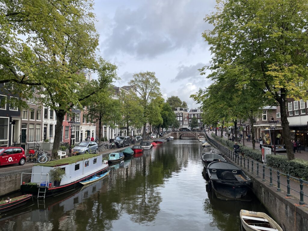
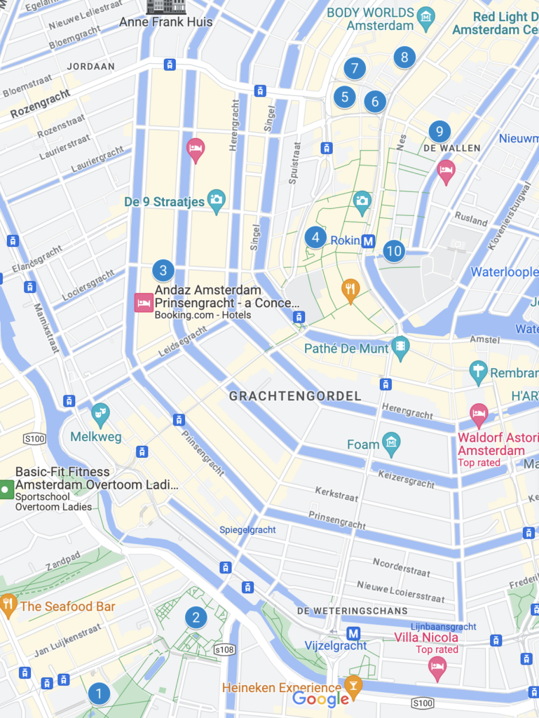
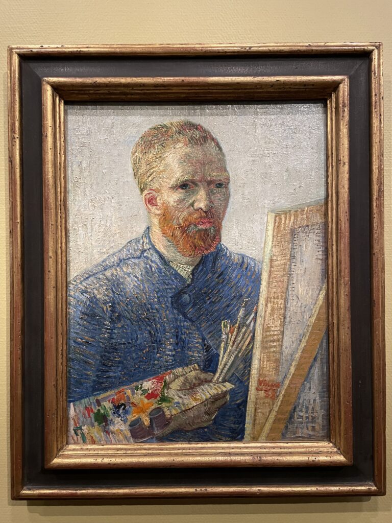
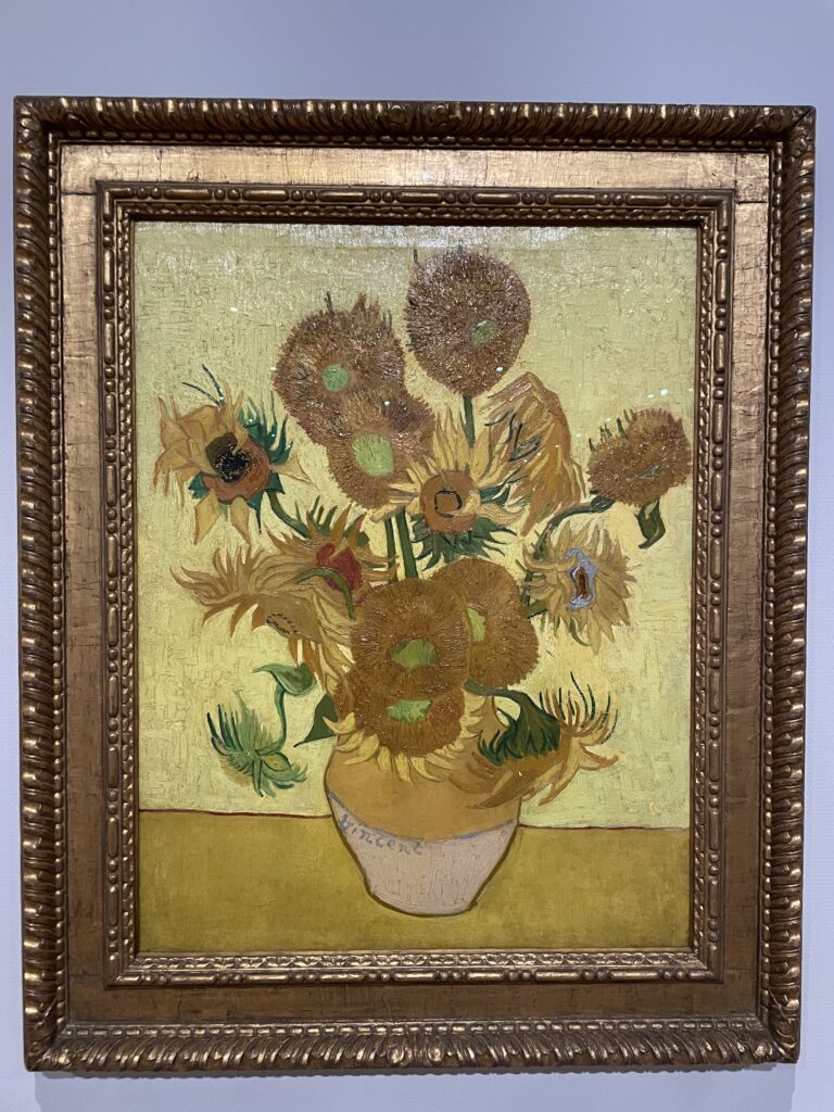
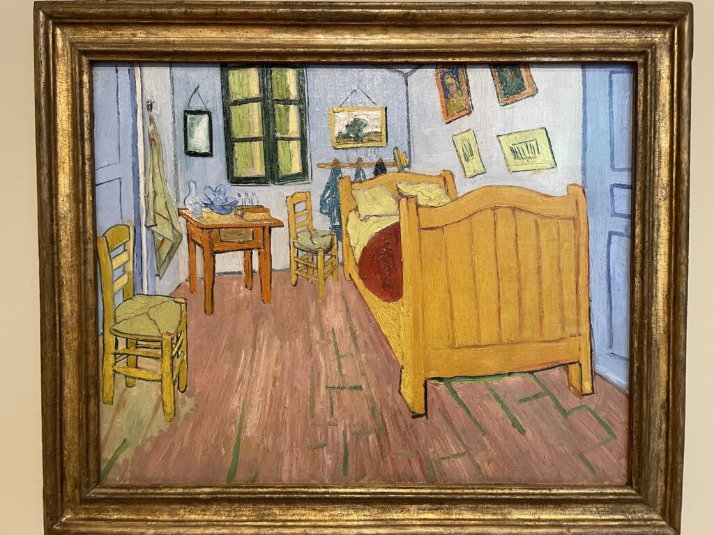
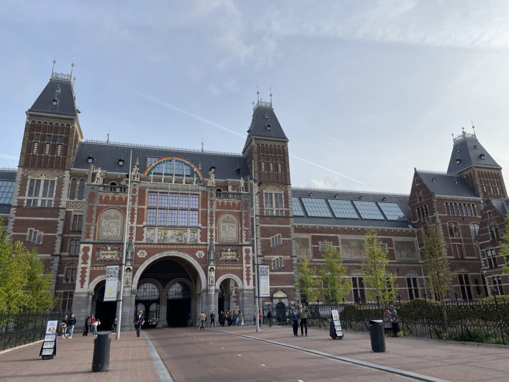
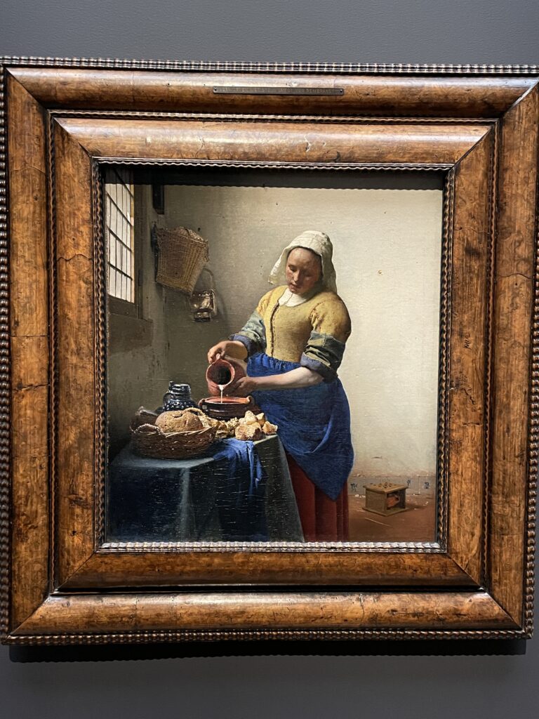
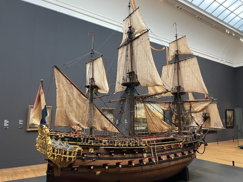
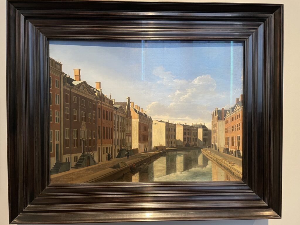
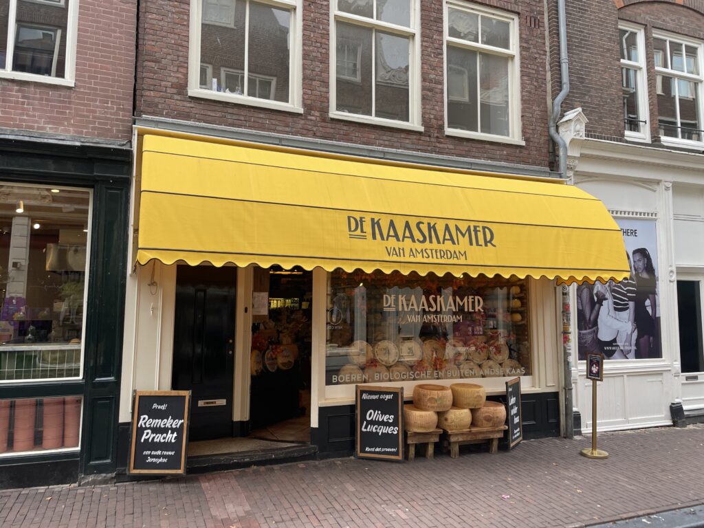
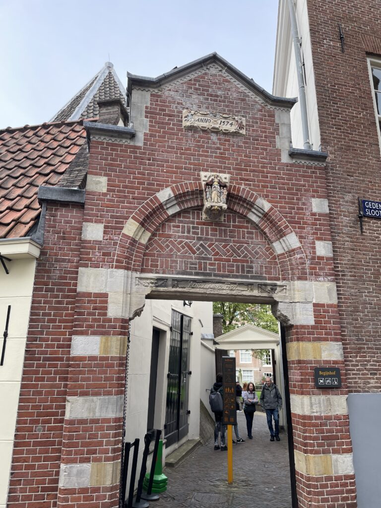
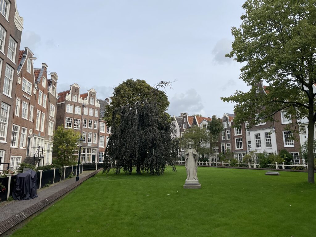
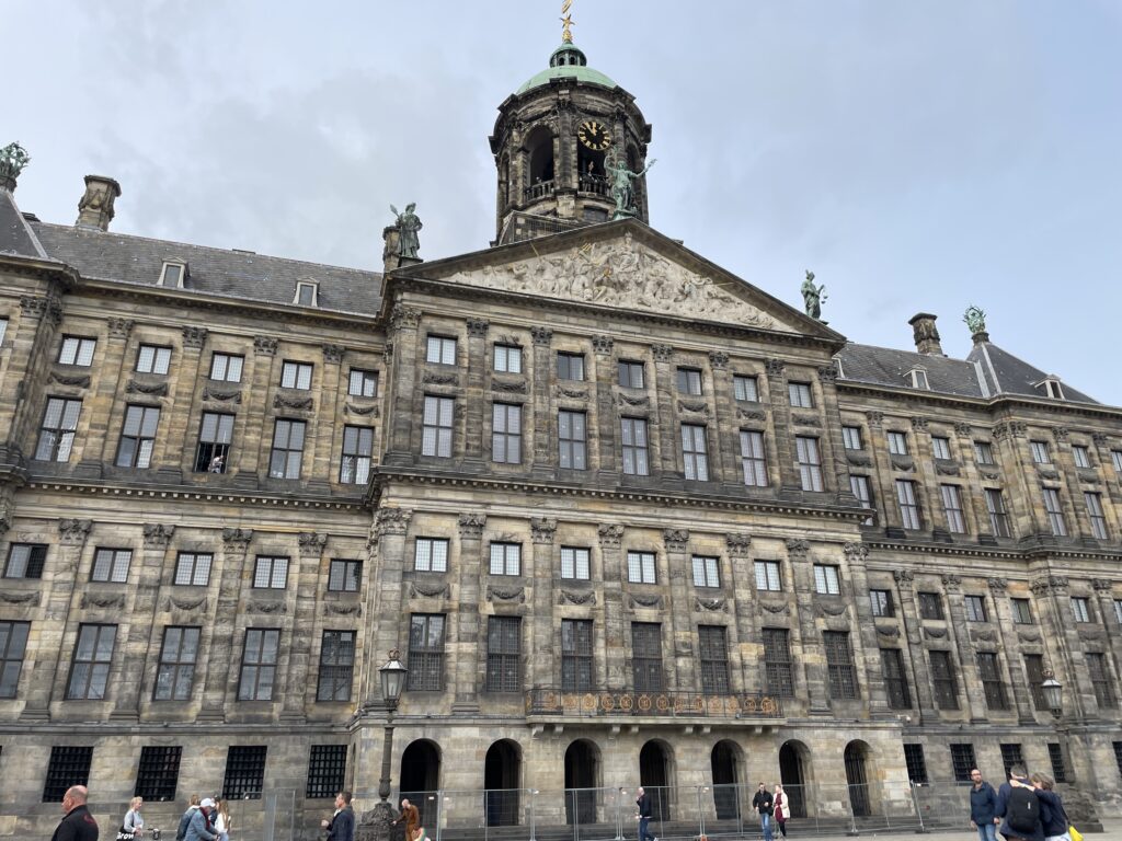
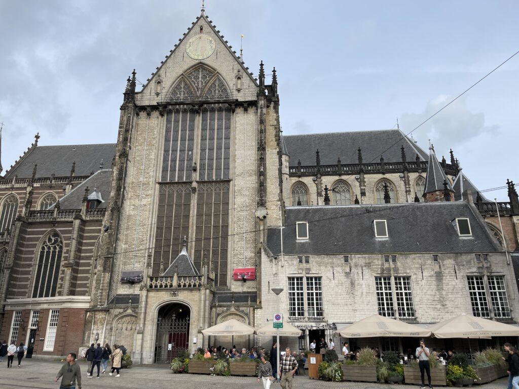
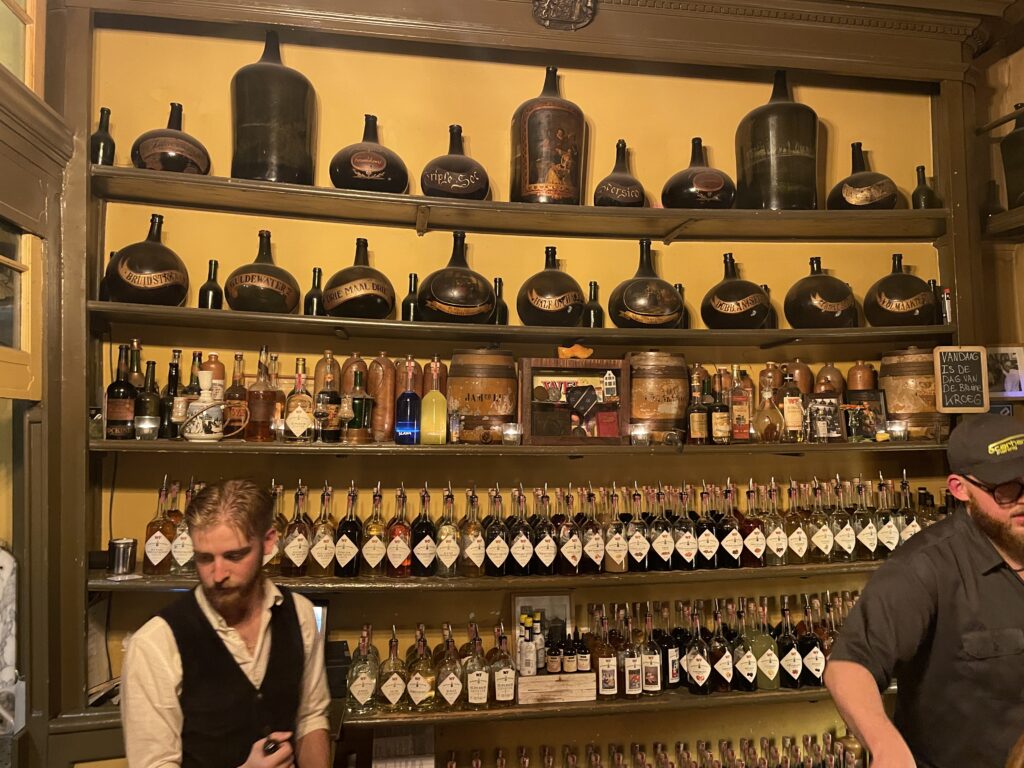
Amsterdam
-
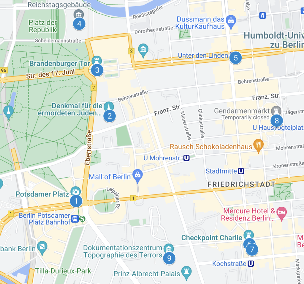
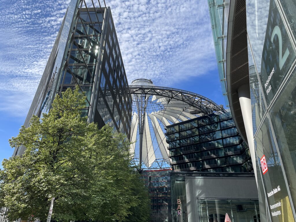
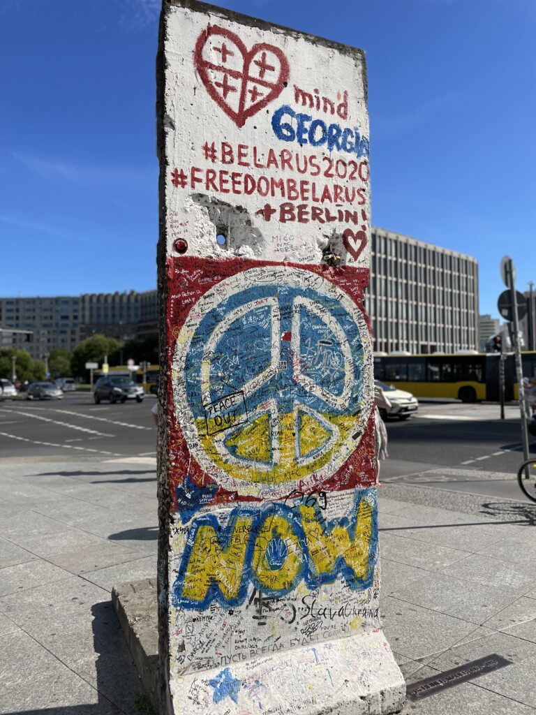
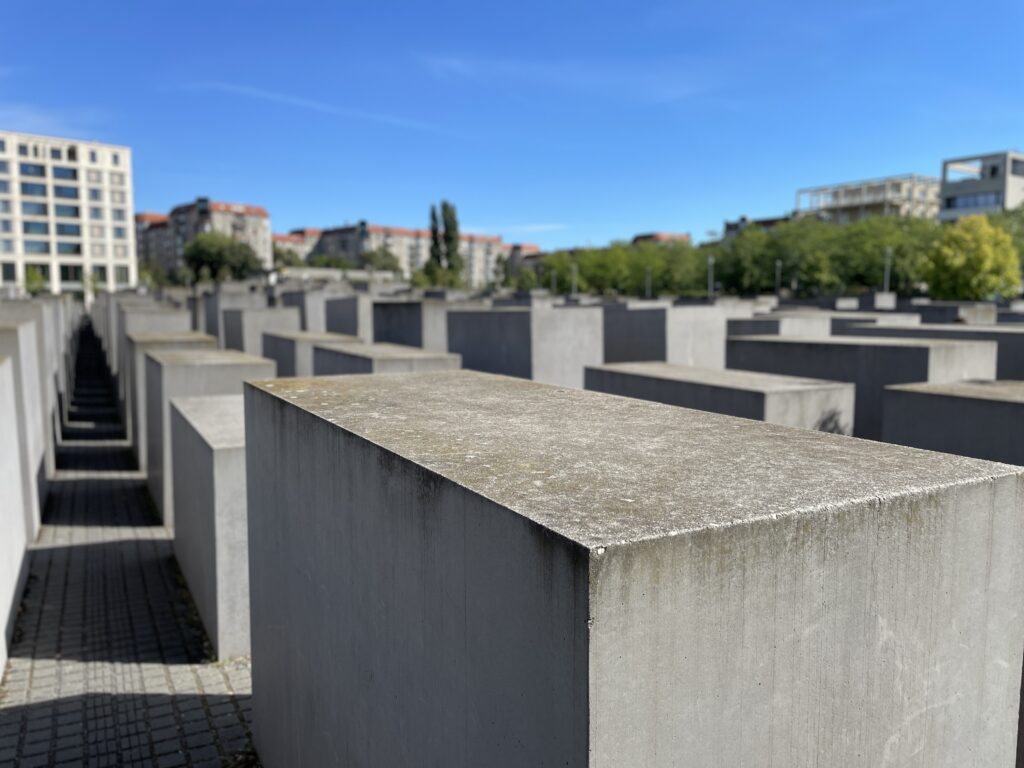
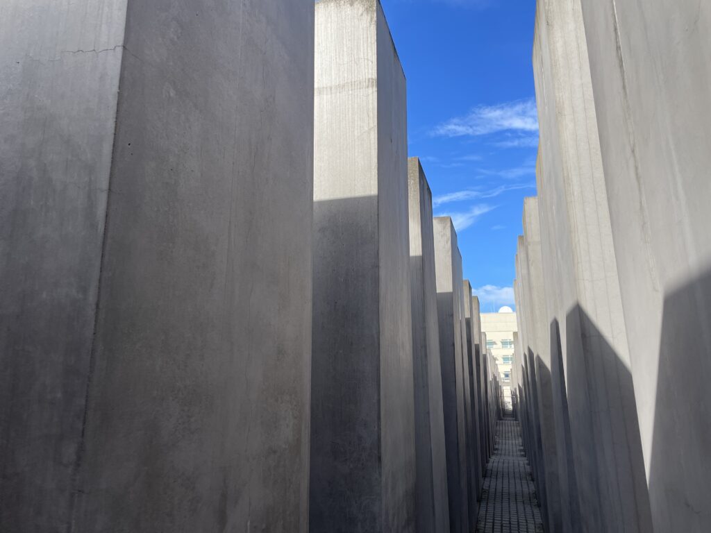
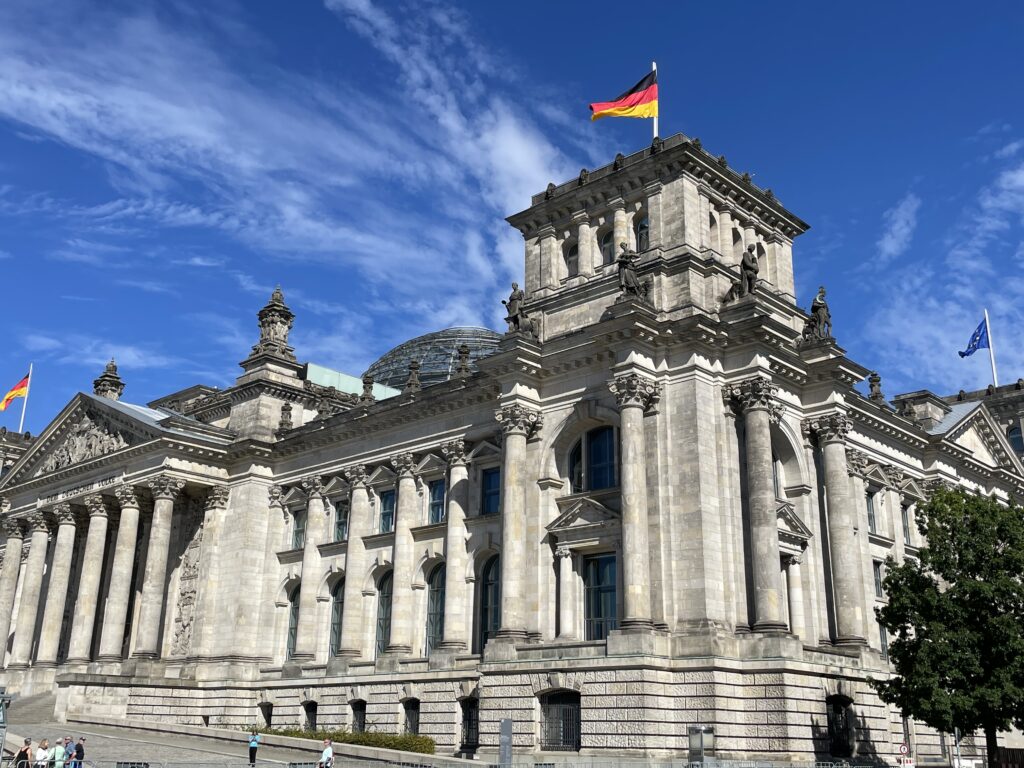
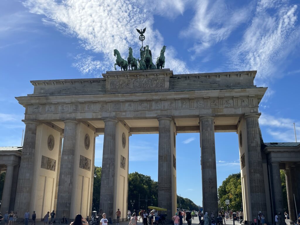
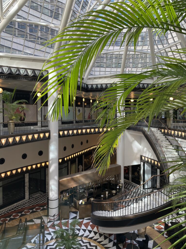
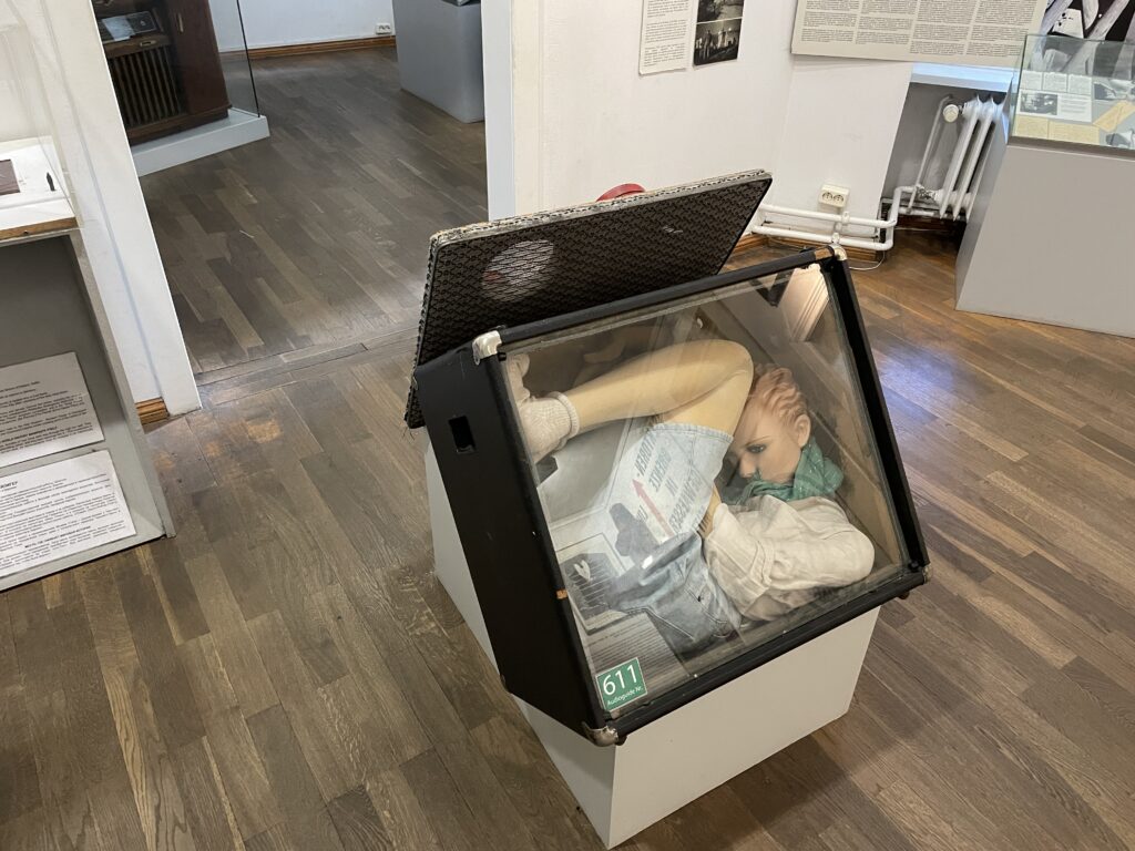
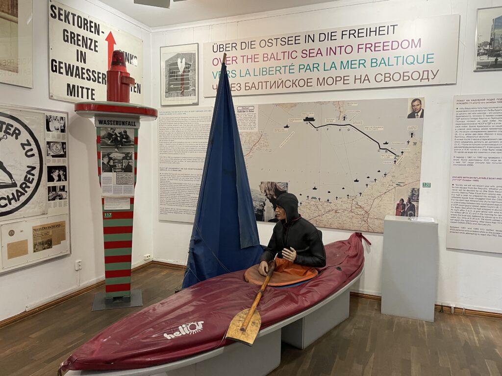
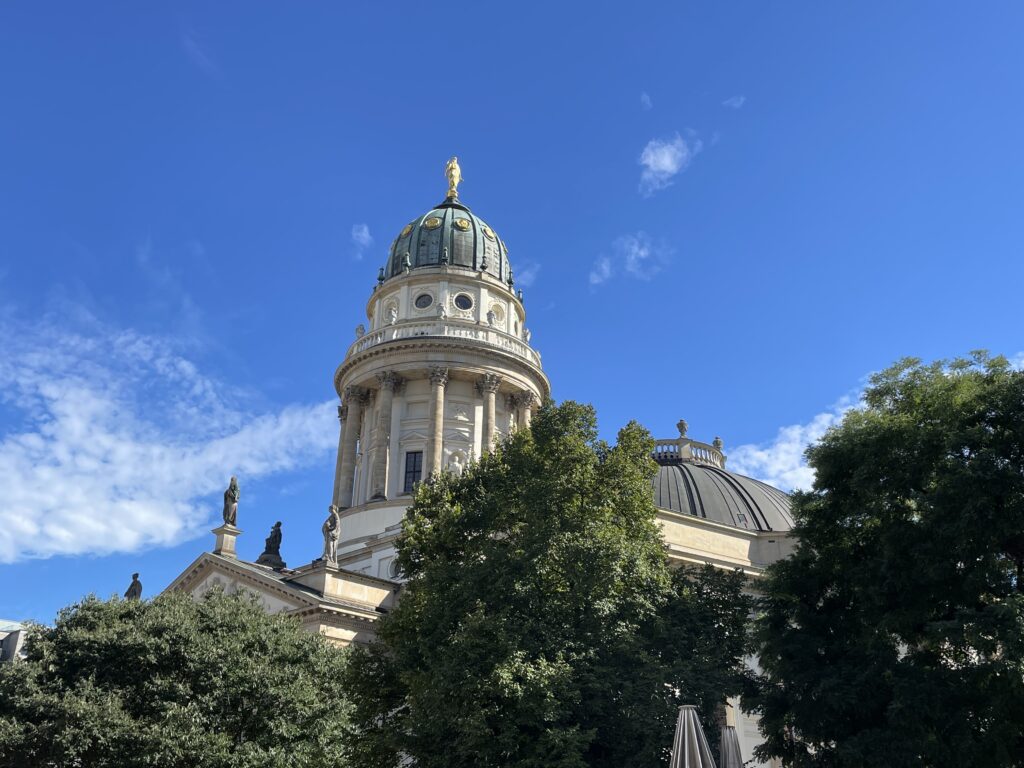
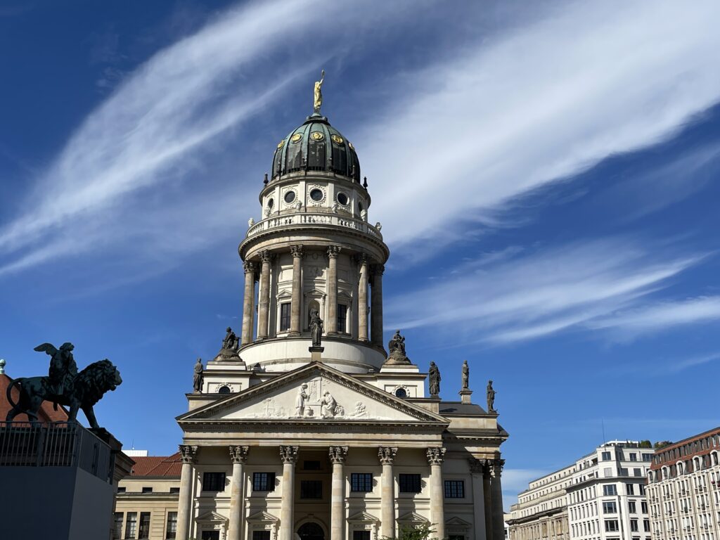
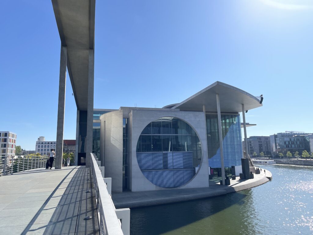
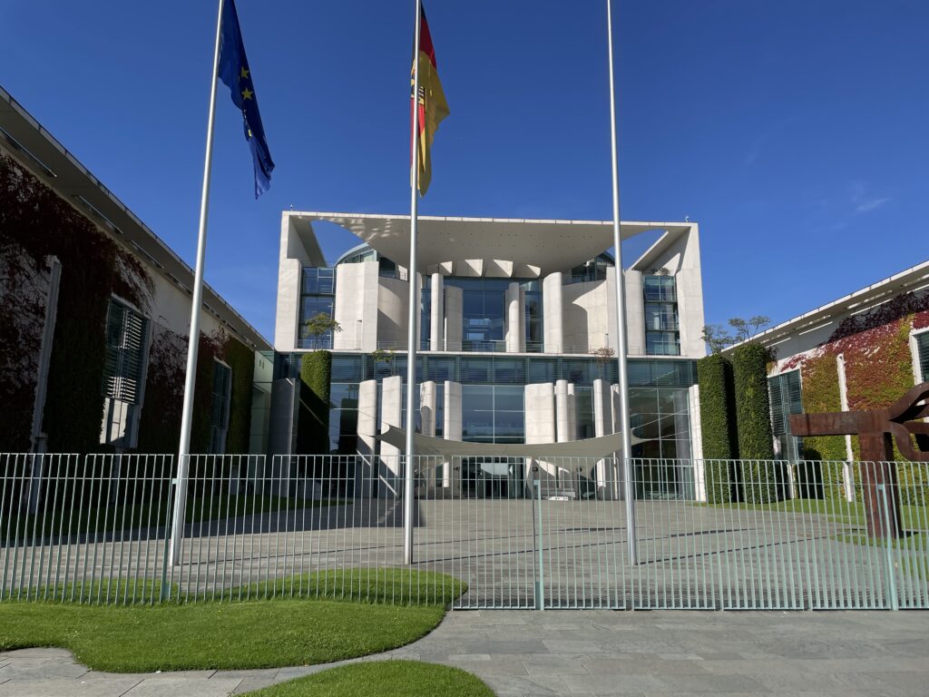
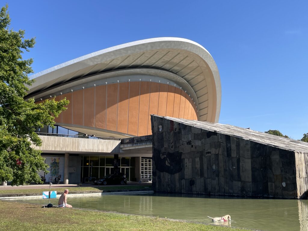
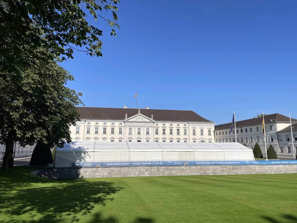
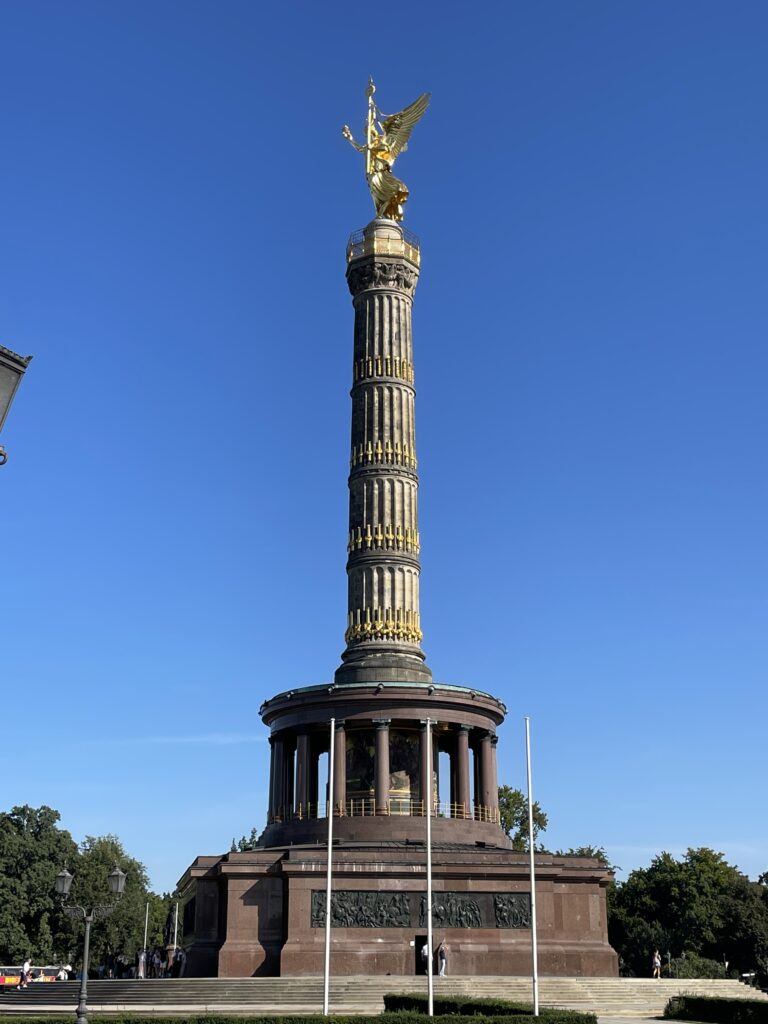
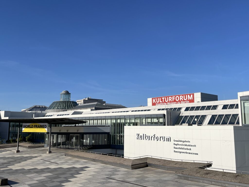
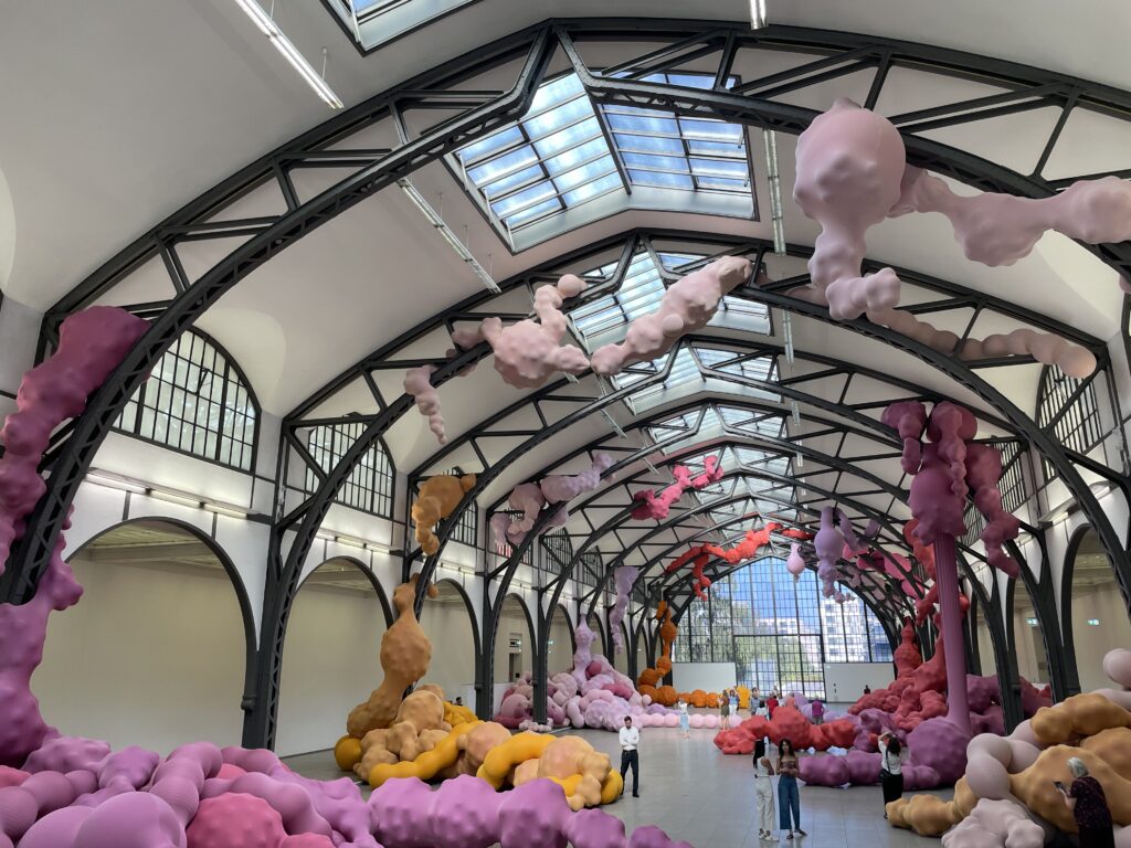
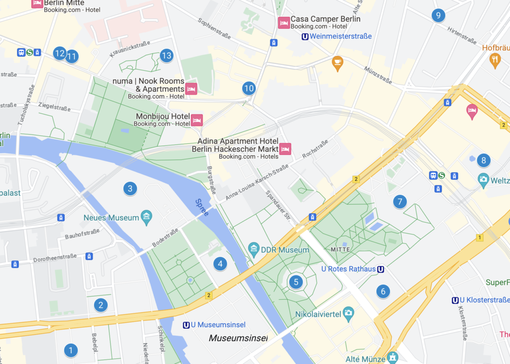
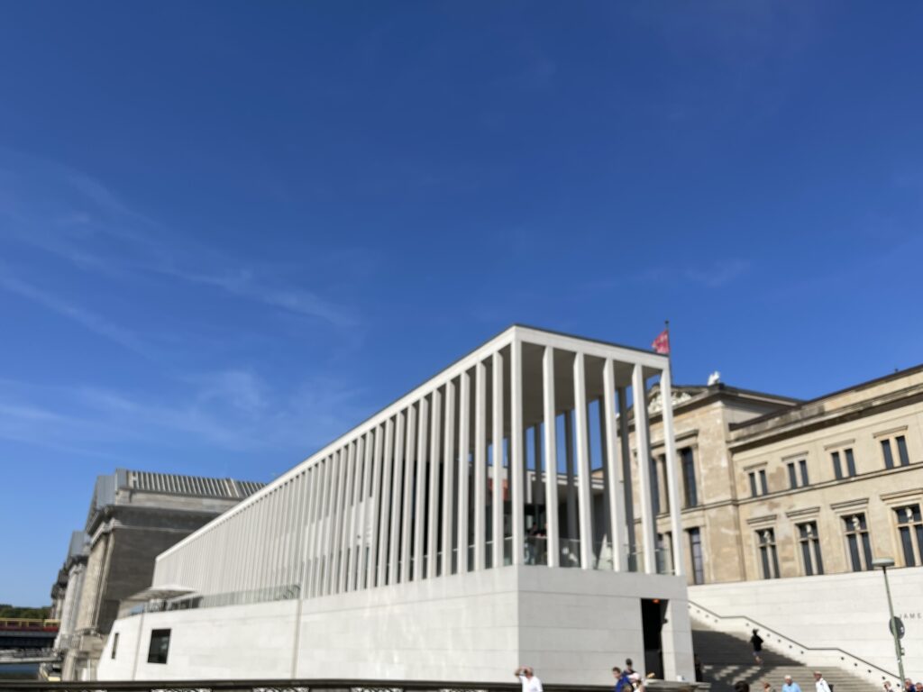
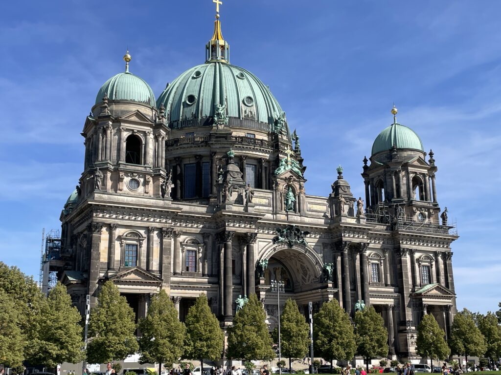
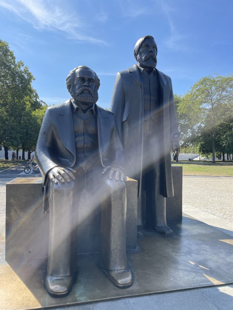
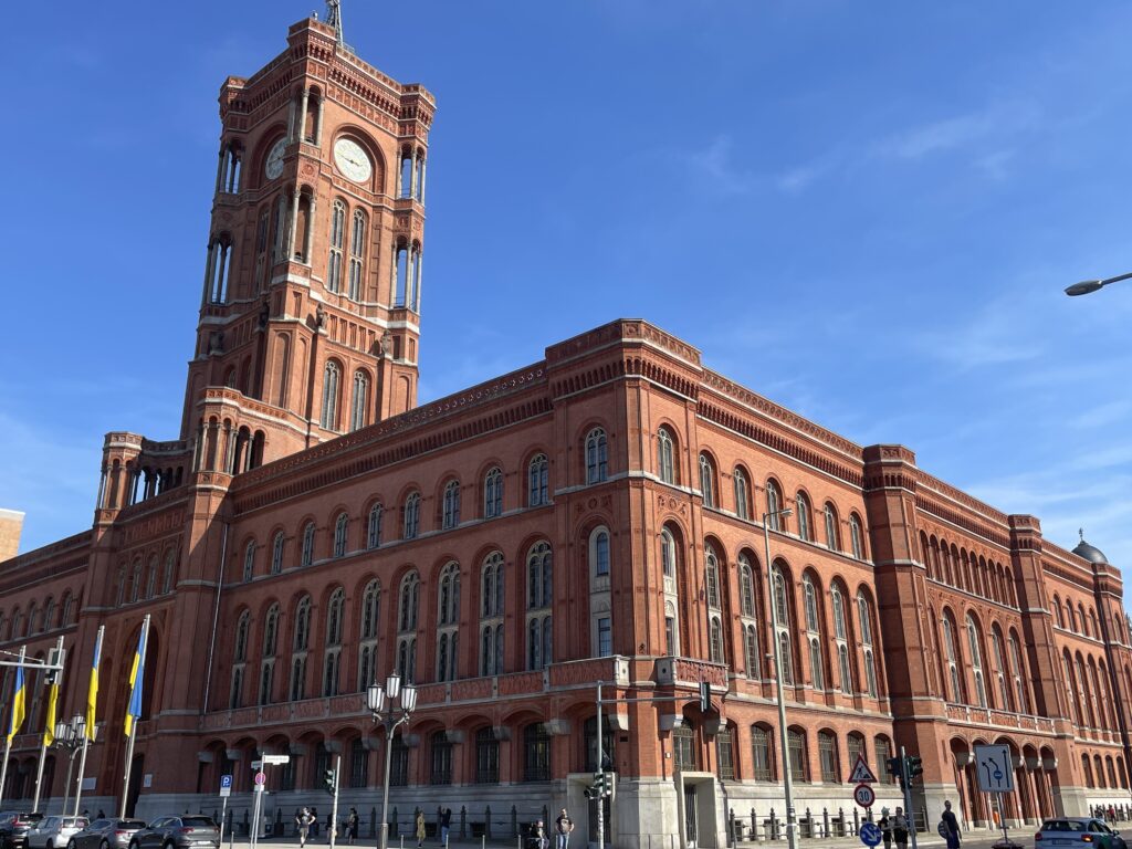
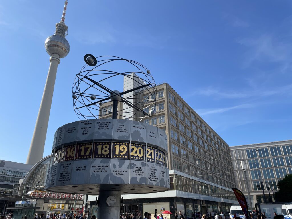
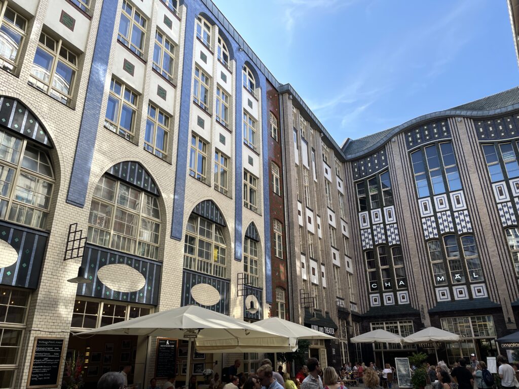
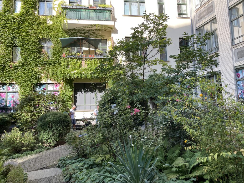
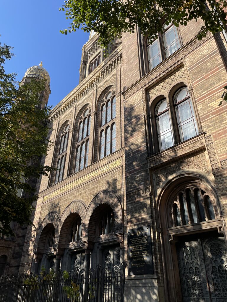
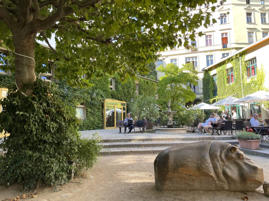
Berlin


-
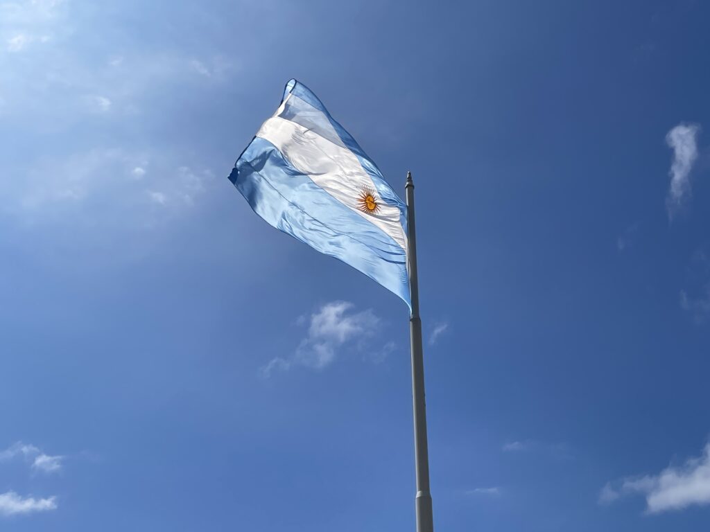
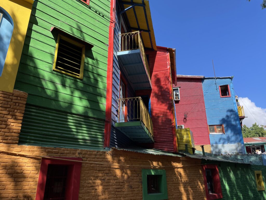
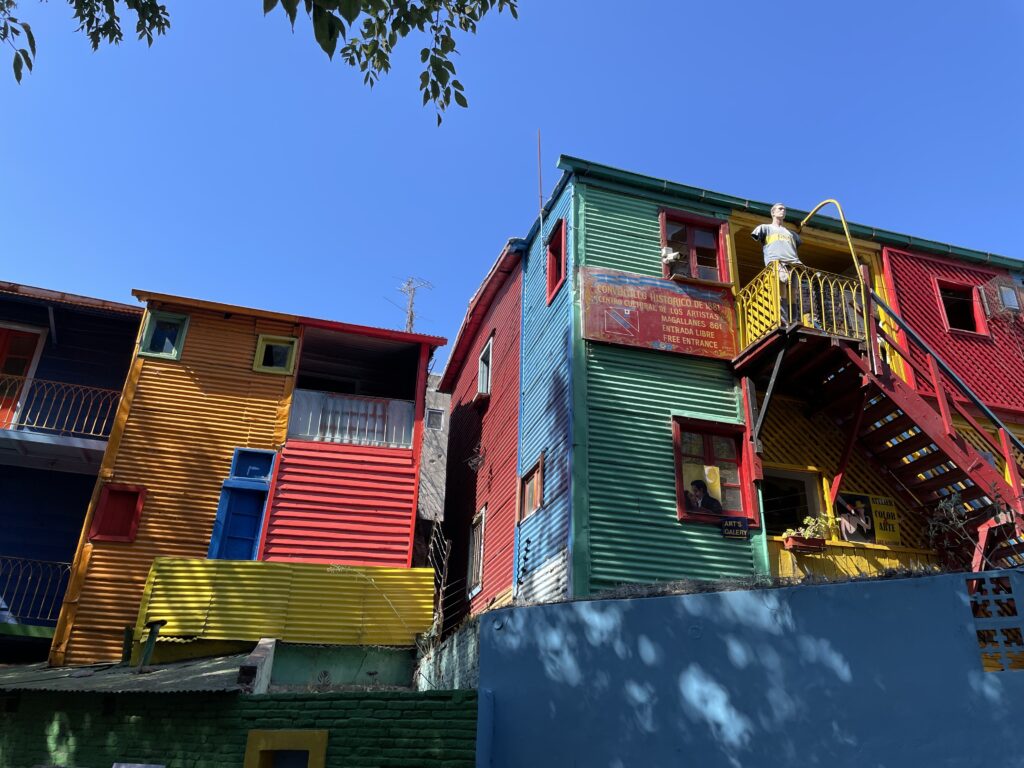
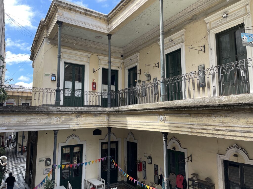
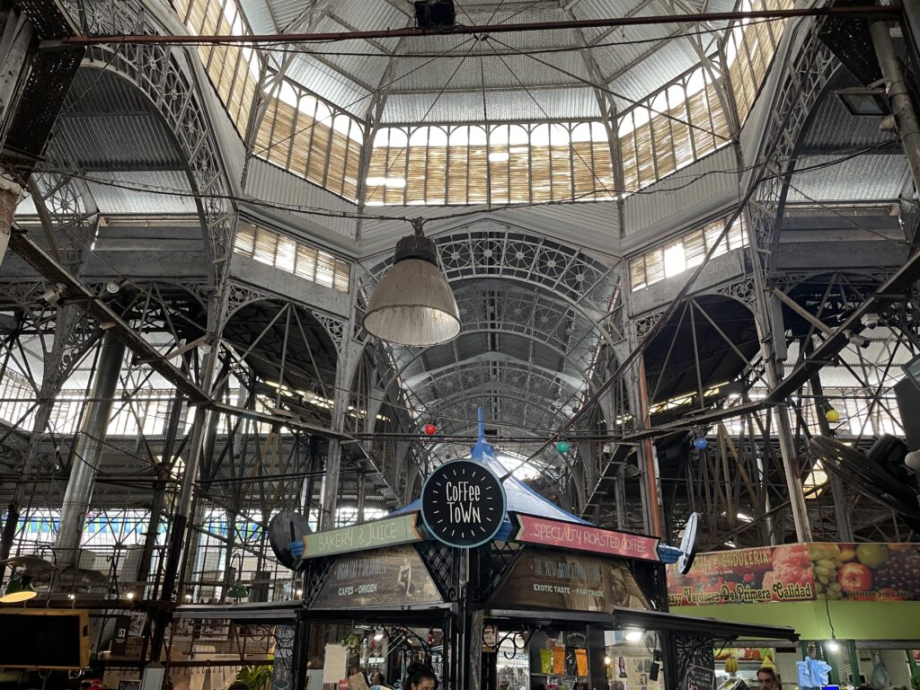
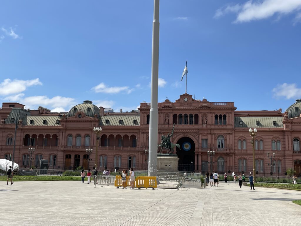
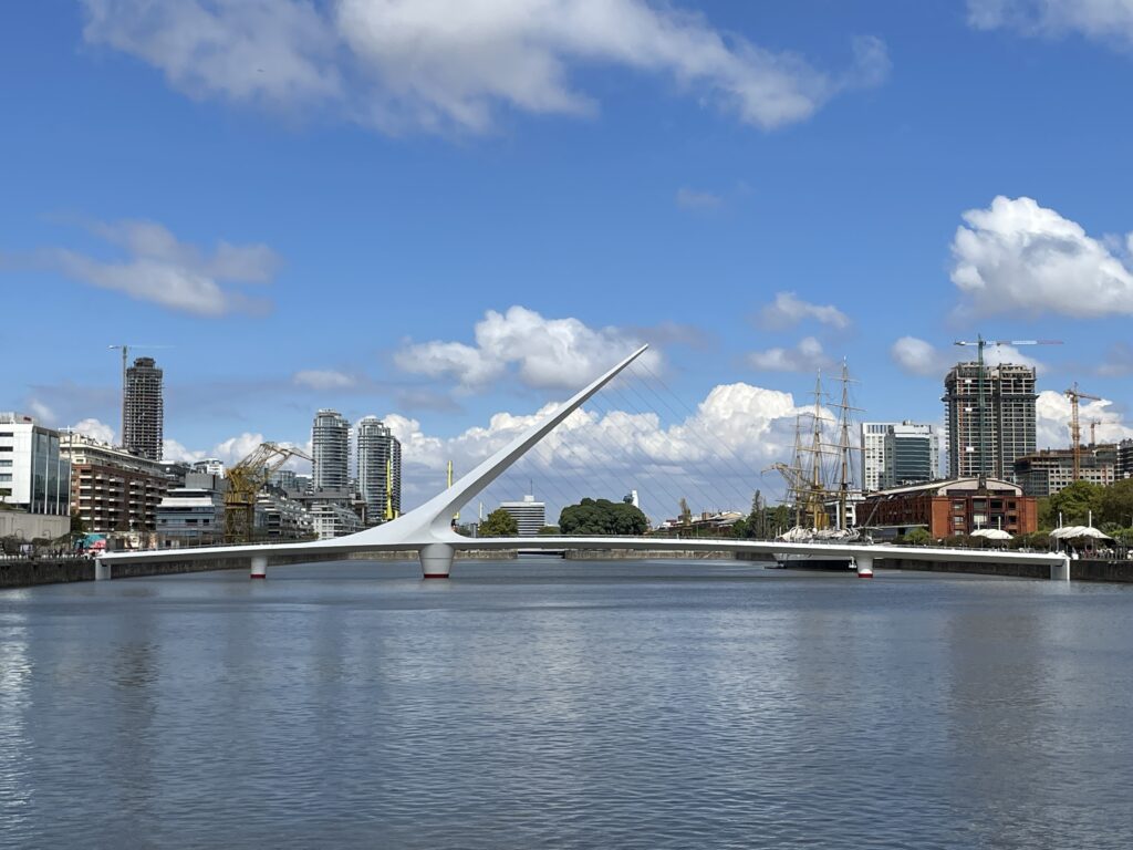
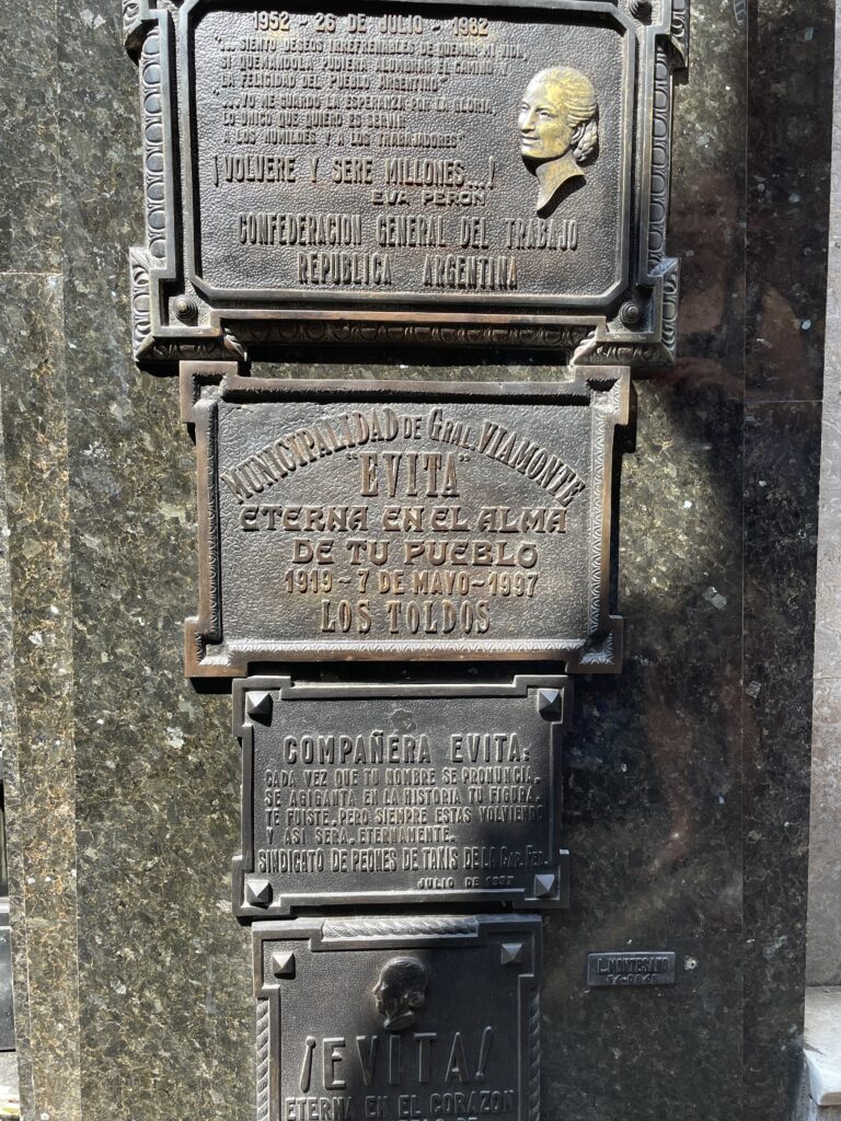
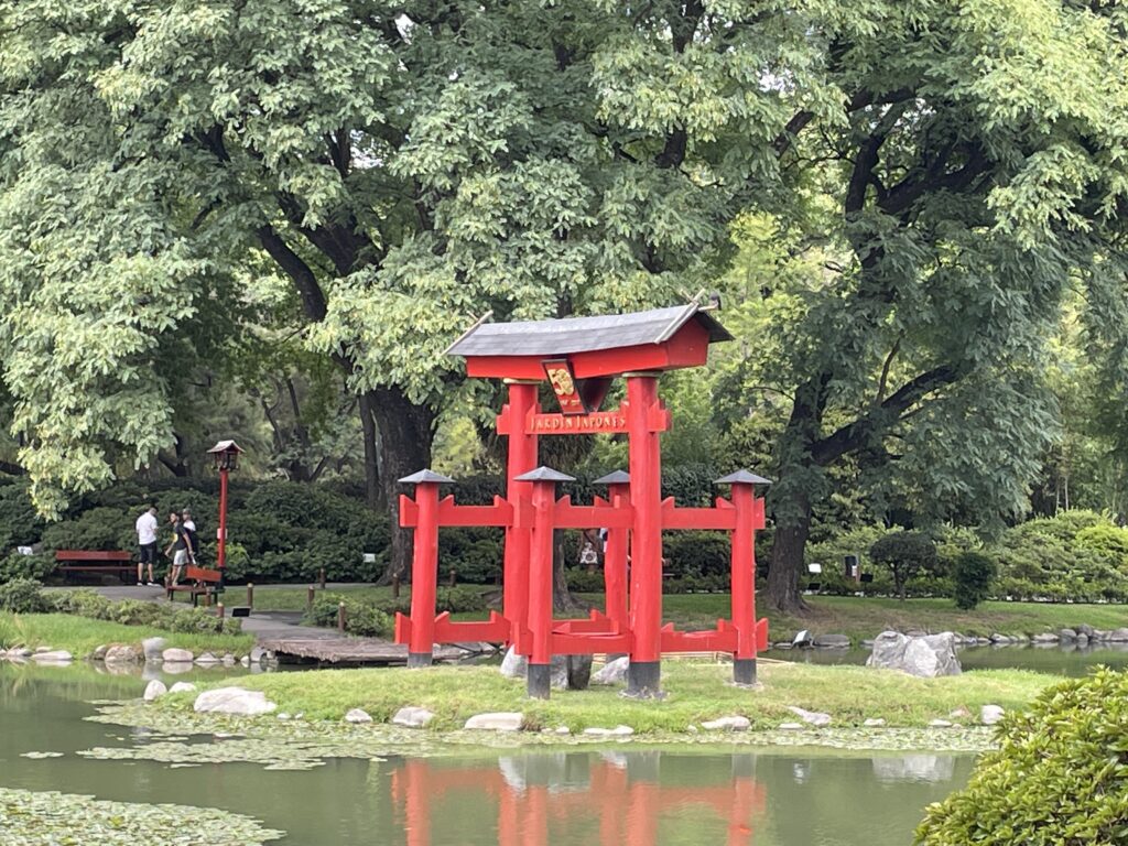
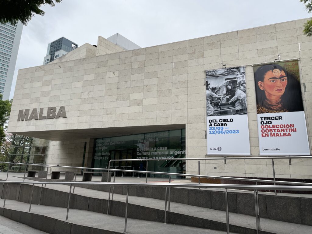
Buenos Aires
-
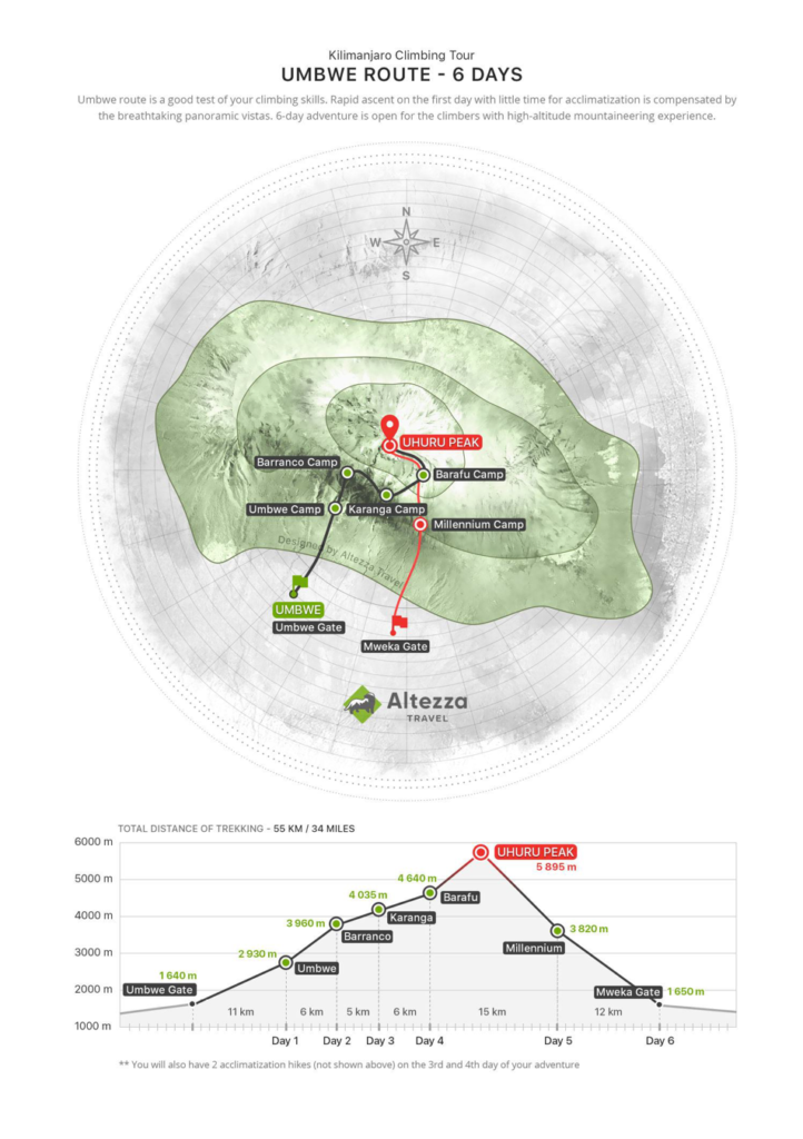
Kilimanjaro
-
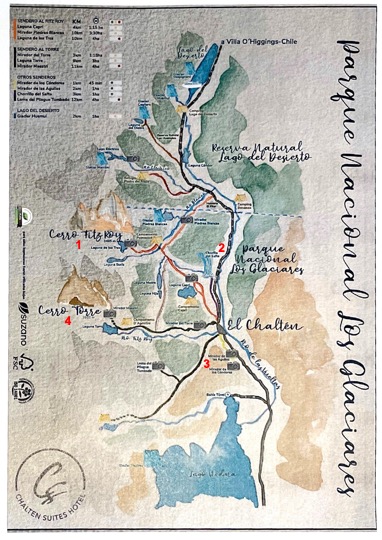
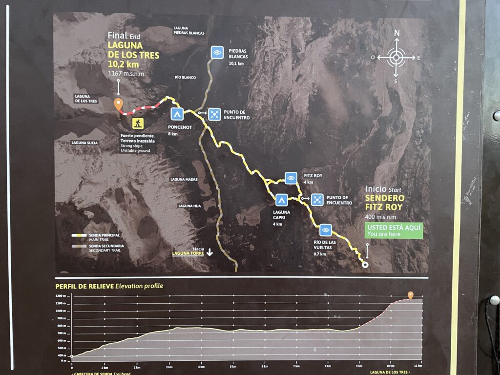
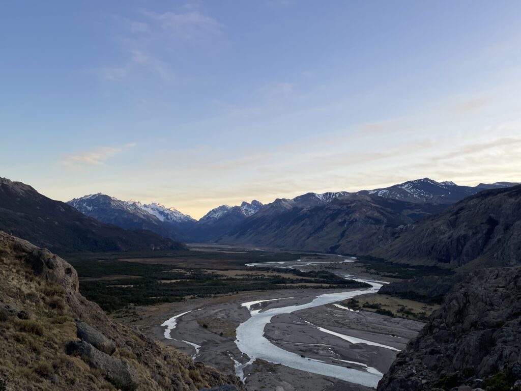
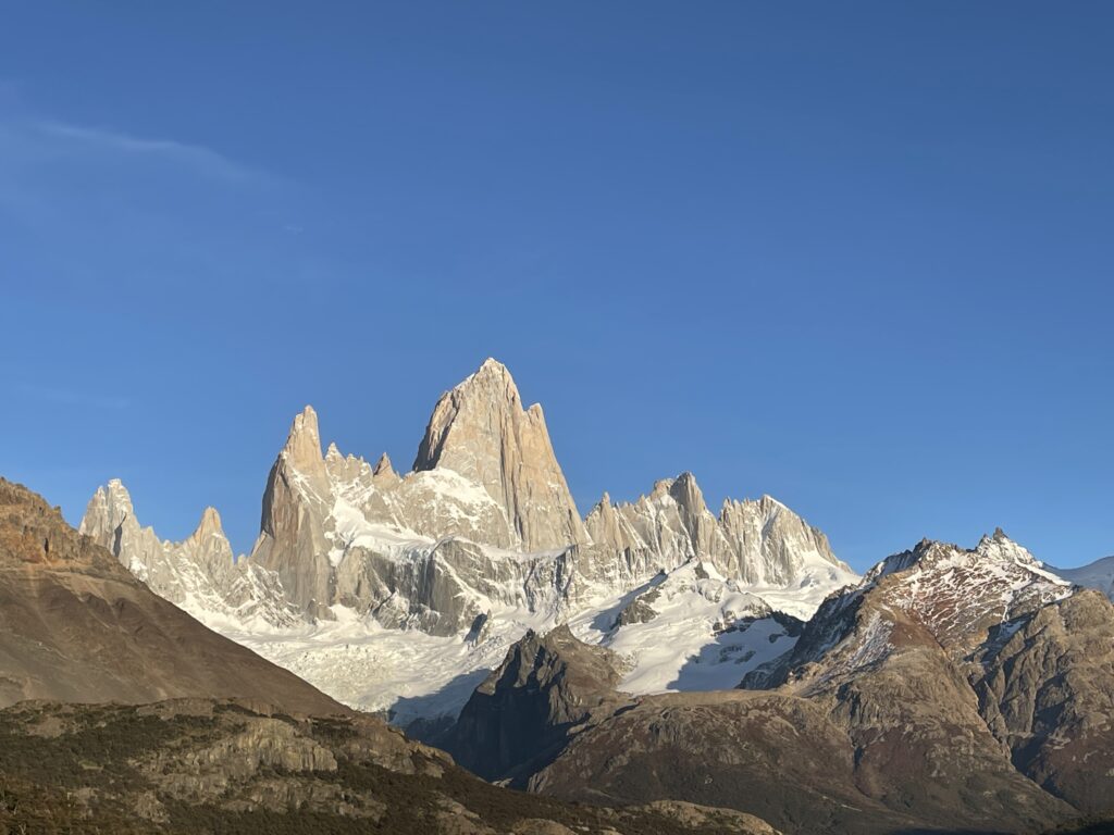
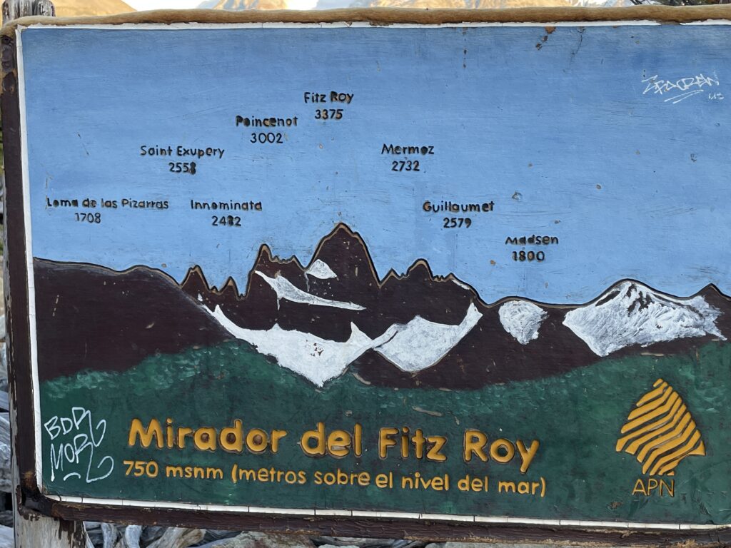
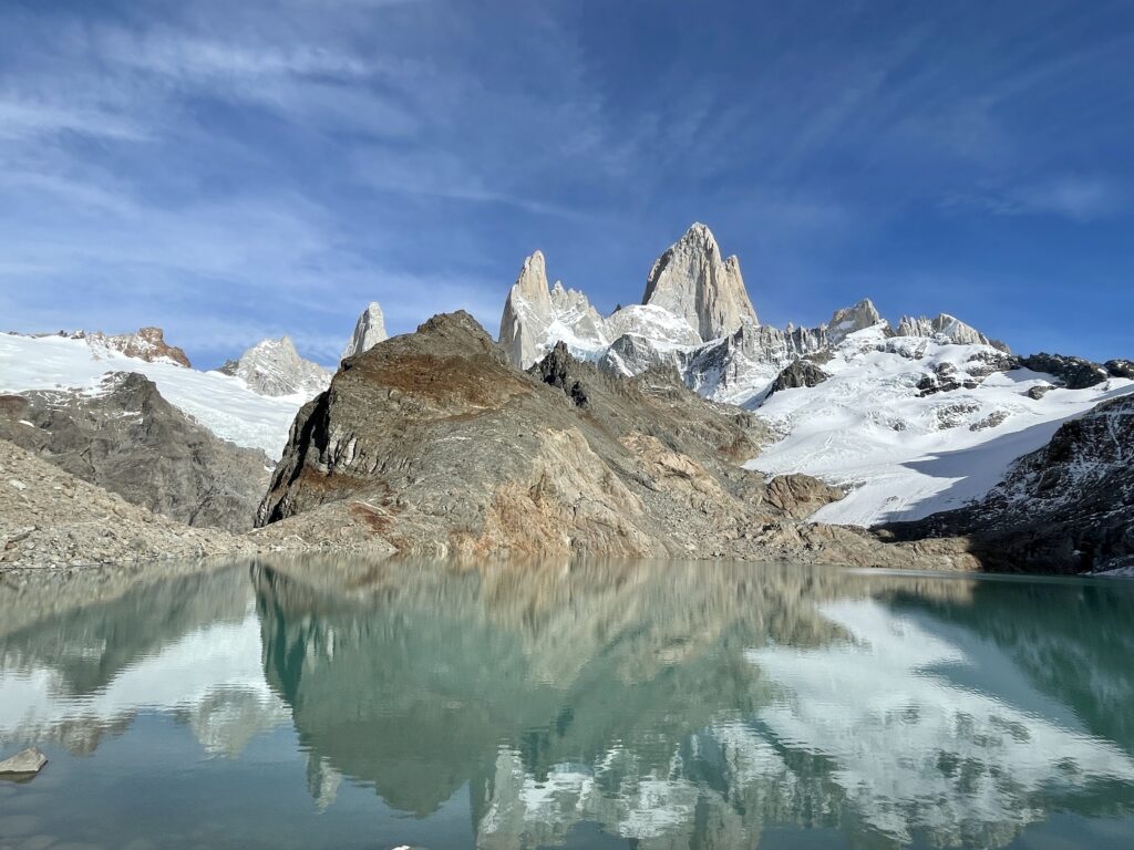
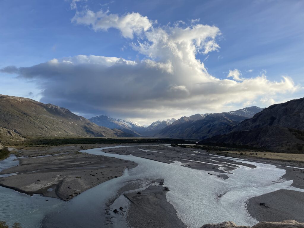
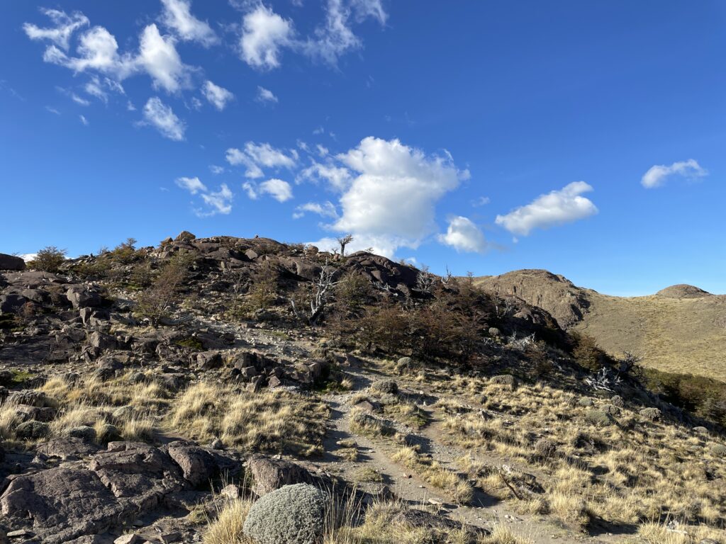
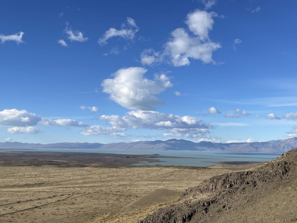
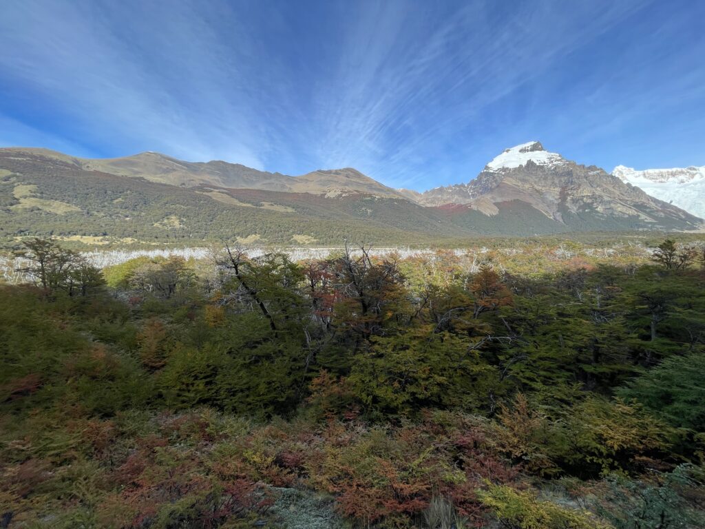
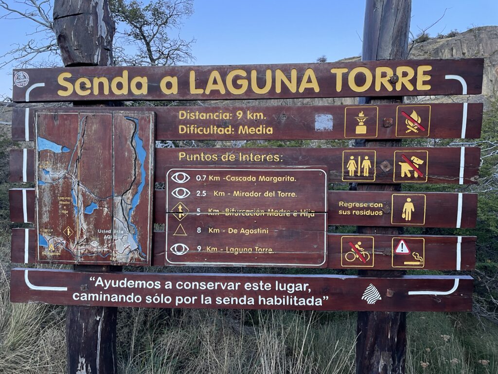
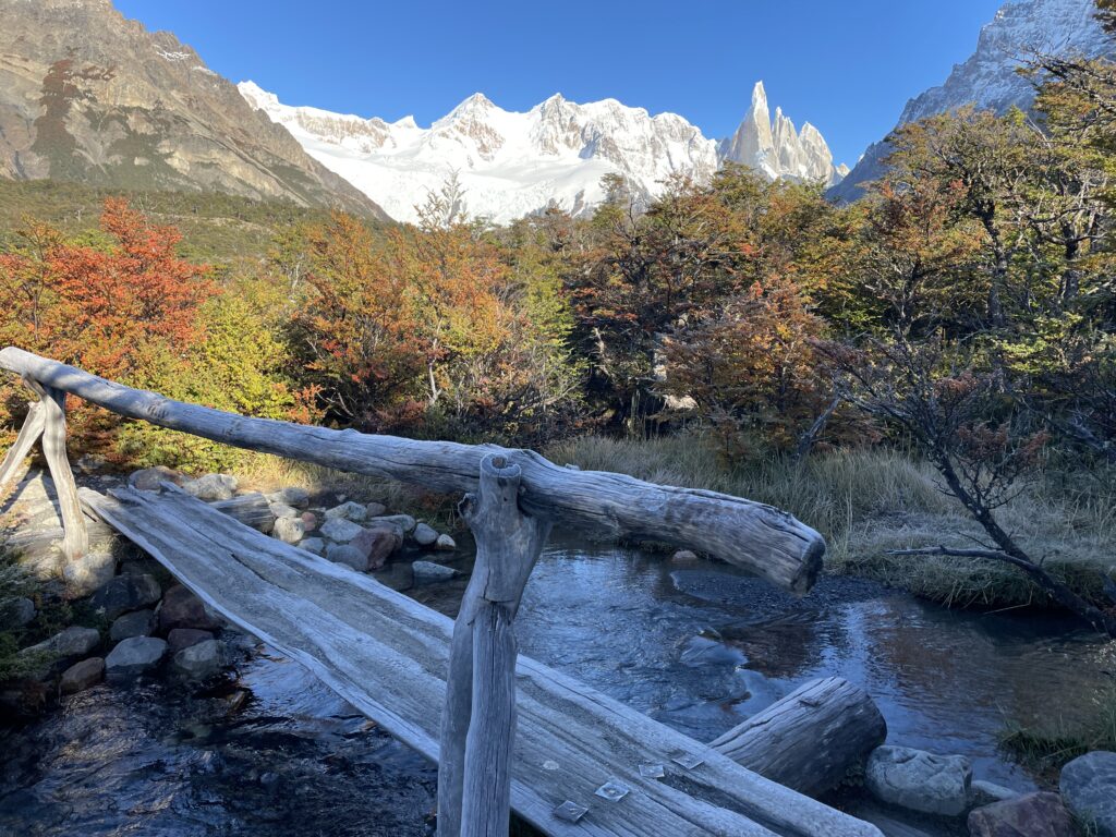
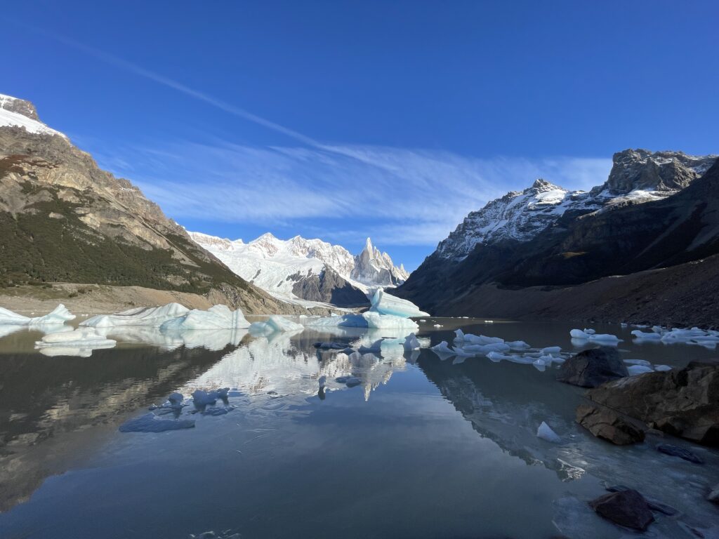
Parque Nacional Los Glaciares


-
Alexandria
Alexandria was founded over 16 villages, encompassed between lake Marouthe and the Mediteranean sea. The Egyptians living here were fishermen and farmers at the time, while wealthier Egyptians preferred to stay closer to the river Nile. For such reason, all the Egyptian statues of kings and queens that you may find in Alexandria were just brought here at a later point in time, as no noble lived here in ancient Egypt. Later on, when the Greeks and Romans came, they cherished Alexandria and its port because of the closeness to the Mediterranean and their homeland.
Alexander the Great came to Egypt in 331 BC and went to Memphis for 1 year, to control the whole Egypt. As he was going towards Libya, he stopped at one of the 16 villages, where later on the catacombs were created, and from there he made of Alexandria his capital. Alexandre died at the age of 33, whether poisoned or from a fever, before he could see his capital finished. He was succeeded by his general Ptolemy I, who gave rise to the Ptolemaic dynasty that continued until Cleopatra VII. At the time of Cleopatra the 7th, Alexandria was still the capital and remained such for 7 more centuries. Cleopatra and Julius Cesar’s extramarital love produced an heir, Cesarion, that was later adopted by Marc Anthony as he married Cleopatra while going at war with his co-consul Octavian. With the defeat of Marc Anthony and the death of Cleopatra, Cesarion never gained the throne and Alexandria passed under the control of the newly founded Roman Empire.
The cohabitation of Egyptians, Greek and Romans under the Empire was made easier by their polytheism and the mutual adoption of the ancient Egyptian gods, while with new names, and continued till the Arab invasion.
Catholicism was introduced in Alexandria by Saint Mark, who from Libya arrived in Egypt. In the year 60 AC, when polytheism was still diffused all over Egypt, he was walking the streets of Alexandria and his sandals tore. The legend says he stopped at a shoemaker who, while mending his sandals, hurt himself: St Mark invited him to pray Jesus and the wound healed. That shoemaker and his family were the first to be baptized and he later became the first pope of the Coptic church (that is the reason why the Coptic Pope up to today is called the Pope of Alexandria).
Catacombs
“Cata” means “under” and “comb” means “tomb”, so these are literally underground tombs. So when you reach the site, don’t get fooled by the sarcophagi waiting for you before the entrance, as these were carried here later to create atmosphere! But do pay attention to the grass on your left: this was the level of the ground covering the tombs when they were discovered in the 1900’s. At that time, when nobody knew of the existence of the tombs, a donkey carrying a heavy load fell into the shaft as the terrain collapsed. After excavation, multiple mummies, skeletons and ashes were found, a proof of the multicultural use of these tombs. Only poor people were cremated; rich Greek and Romans were mostly mummified, an Egyptian inheritance as a way of preserving the body for the afterlife. Less wealthy people could get mummified but with less layers of lines and less intricate wrappings. Another difference was that mummification lasted 70 days for rich people, as they were immersed in tar (the word “mummy” comes from the Persian word “mumiat” that means “asphalt”), while only 40 days for commoners. This is the reason while today, muslins and orthodox go to pray at day 40 after a passing.
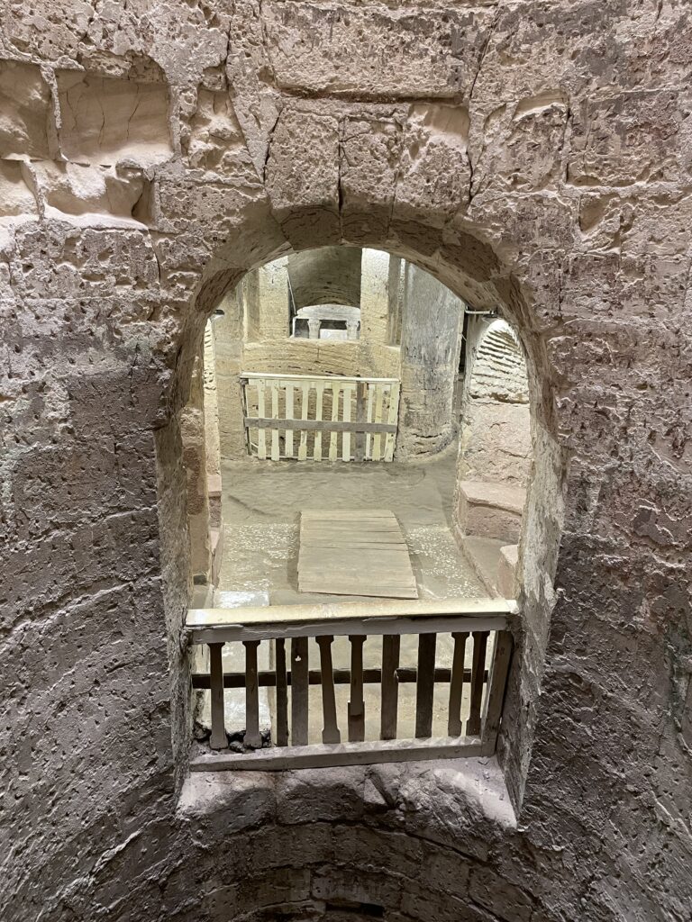
The Catacombs seen from the shaft 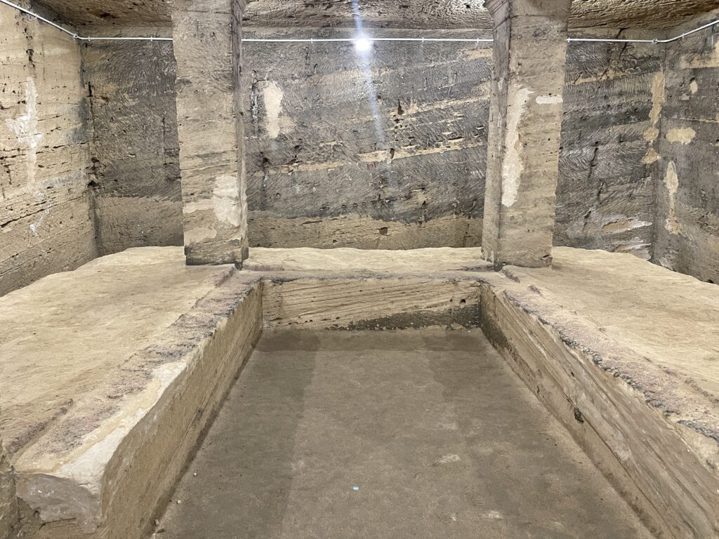
The triclinia The catacombs are carved in the rock except for the shaft, and even the stairs are original. They date to the II century AC, used by the polytheistic Romans for at least 3 centuries.
The shaft was built mainly to lower the sarcophagi
The tomb has 3 floors, the second one being the main one as it shows perfectly the mixture of cultures and art (Egyptian, Greek and Roman) that was Alexandria.
While you enter the tombs on the first floor, note the benches that used to provide rest for the visitors, and the half shell on their top, coming from the Venus tradition of the Romans. Far ahead to your right, an area opens with 3 stone benches. This room, known as the Hall of Banquets, was reserved for mourners to visit their deceased. The benches are triclinia, where the families used to eat and drink; the remaining’s of the feast were stored in plain jars and thrown on the floor to avoid bad luck (till now, Greeks before dancing throw plates on the floor, Jews break glasses after weddings).
The next room hosts the loculi, square holes where bodies were buried one on top of each other. Note that the loculi on the lower level have a round portion for the head, these were probably reserved for wealthier people to be buried alone.
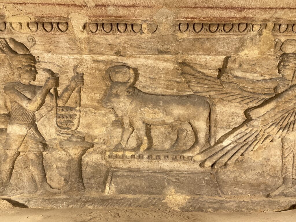
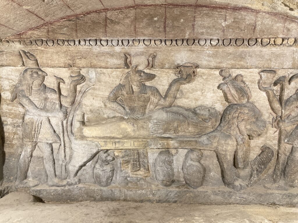
The second floor was used in the beginning by a rich family and was housing their sarcophagi; later the tomb was enlarged and multiple loculi were added. Here you are welcomed by a pure mix of the 3 cultures: note above your head the circle with wings, symbolizing Ra, the columns carved in the Greek way but with leaves of papyrus, and the 2 statues facing each other, a man and a woman with Roman features but Egyptian dresses. By the door of the burial chamber, a Medusa head overhangs a fanged snake with a Aesculapian symbol next to it. Enter the burial chamber, you will see that the noble family sarcophagi are carved in one piece to prevent tomb robbers from opening them. Above them, the goddess Isis with winged arms looks at her brother Osiris, here in the form of a bull. Over the central tomb, the god Anubi is presiding over a mummification. Three canopii containing the deceased organs are at his feet.
Vault to the Hall of Caracalla On the right side of the second level, you enter into the Hall of Caracalla. The roman emperor was not particularly loved but he was very smart, and to put an end to his multiple enemies among the young Romans inhabiting Alexandria, he indicted a horse race just above the Hall. While his young enemies were racing, the terrain gave way and they all fell and died in the catacombs, together with their horses whose bones you can still see under glass. The Hall is surmounted by a triangular vault (Greek in style) with the Ra disc in the middle, and paintings both Egyptians and Romans in style.
You can walk down to the third floor but there is nothing to see here.
Pompey’s Pillar
In this area rose a Greek temple with 400 columns, a 90×80 m square built in the III century BC and used both by Greek and Egyptians. When the Romans came, they continued to use the temple to worship their deities. During the times of Diocleziano in 297 AD, to get the approval of the people of Alexandria, he built the pillar that now is standing alone. As such, the name “Pompey’s pillar” is a misnomer, as it was built 300 years after the death of Pompey and it’s technically not a pillar (square) but a column. The Pompey name comes from one of the triumviri, Gneo Pompeo, that broke the allegiance with Cesar and was thus killed: his head was delivered to Cesar in a golden bowl and the body cremated and the ashes lost. After the pillar’s erection, a jar with the ashes was discovered by Romans and placed on top of the pillar as a way for the name “Pompey” to be remembered.
The pillar is 500 tons and 30 meters high. It was carved from the granite in Assuan and transported by water through the flooded Nile: Romans followed the Egyptian ways of transporting heavy loads by river, they tied the pillar to wooden boats on every side.
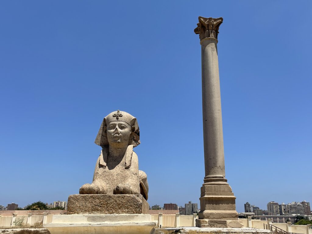
The Pompey pillar 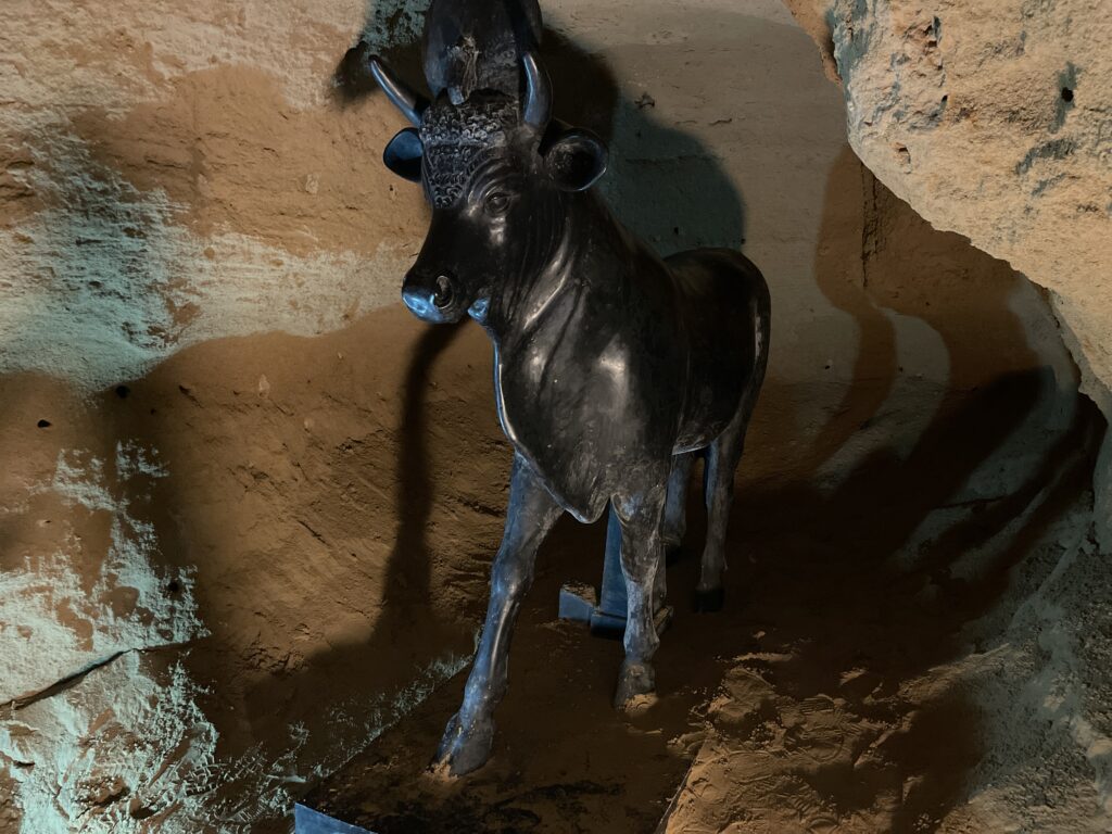
Api, the bull form of the Egyptian god Osiris The two sphynxes that guard the pillar are in honor of 2 of the successors of Ptolemy I. Around the pillar, ruins of the original temple that was destroyed by an earthquake in the VI century AD. The temple was known as the Serapium Temple: the suffix “-ium” means “massive”, while Serap is the name of the god Osiris. Osiris had human form, or could assume the form of the bull Api, and from the word “Osirapi” the Greek got the name Serap. When the Greeks invaded Egypt, they adopted the same gods as the Egyptians but with a condition: no forms of animals and no forms of birds. As such, the Egyptians dropped the Api-bull form of Osiris, and the Greek adopted him as Zeus; Horus, son of Osiris, did not have the head of a falcon anymore but the form of a child.
While walking to the pillar, look to your left and go down few stairs that lead to the original sanctuary of the temple: here you will admire a replica of the Api-bull with the Ra-disc between the horns.
On the right side, a sign points towards the library but there is not a lot to see here.
Bibliotheca Alexandrina
It was not Alexander the Great who built the original library, as he died few years before his capital was completely finished. His generals took power and they gave rise to the dynasty of the Ptolemy. The idea of a magnificent library was put in Pt I mind by his statesman Dimitrios, governor of Athens, and philosopher. The library was completed in 288 BC and it was under Ptolemy II that the library flourished so much that because of the numbers of scroll a second satellite was built.
The decline of the library started with the war of Alexandria, when Cleopatra VII battled on of her brothers Ptolemy XIII for the throne of Egypt and a large portion of the library was destroyed by accident. The final destruction of the library happened when Julius Cesar was at war with Pompey. At the time, Cesar and Cleopatra VII were lover, and so Cleopatra’s brother (the good one, not the one with which she had battled) in an attempt to satisfy Cesar killed Pompey and had his head delivered to his brother in law. Cesar, still a man of honor, wanted to kill Pompey in fair battle and as a revenge he burned Cleopatra’s brother fleet. The fire however extended from the sea to the library and many scrolls were burned. Some of them were rescued, but a second fire by arson in 392 AD burnt the remaining scrolls. Only one scroll survived, ironically, the classification of the all lost scrolls… And it’s kept in Vienna, not even in the new library!
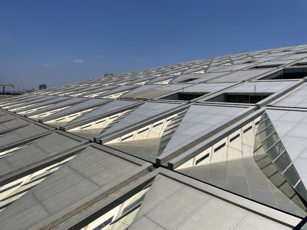
The Bibliotheca Alexandrina The reconstruction started in 1972 with an idea suggested by the Chief of Department of History of Alexandria. The Bibliotheca Alexandrina as we see today was started in 1995 with a competition won by a Norwegian architectural firm and finished in 2001; the official opening with books was in 2002.
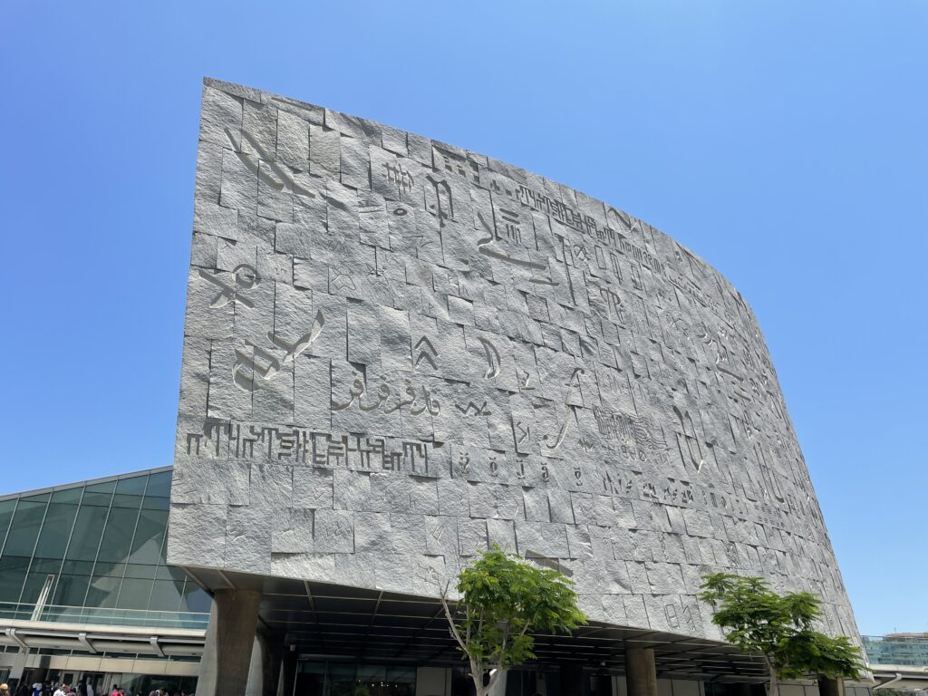
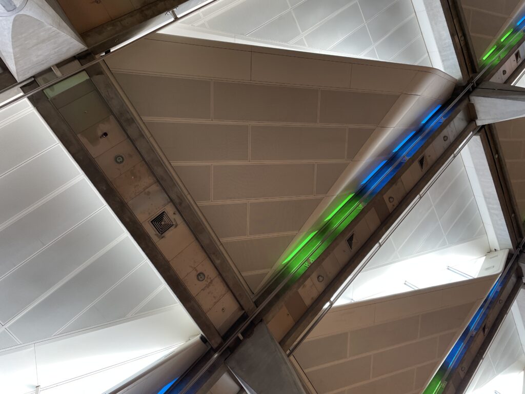
The BA has the shape of an incomplete rising sun to symbolize how knowledge can spread; the wall is made of 6000 granite blocks coming from Assuan, on them we find 4200 letters engraved from 120 languages. The library now hosts sections for children 6-11, for young adults 12-16 yo and for adults over 16 years of age there is the main reading area.
The main area is the biggest open reading space in the world, accommodating 2000 people at a time. It hosts 2.5 million books in various languages. Each floor of the open area is specialized in a particular subject: ancient maps (with 7000 maps), arts and multimedia, rare books (15000 manuscripts dating back to the late 1400), francophone library, braille library. The ceiling has an inclination of 16 degrees to limit the damage to the books from direct sunrays; the multiple glass panels covering the ceiling take the shape of an eyelid from the inside and eyelashes from the outside to prevent accumulation of water and dust. Green and blue led lights, symbolizing the earth and the sea, provide relaxation for the readers.
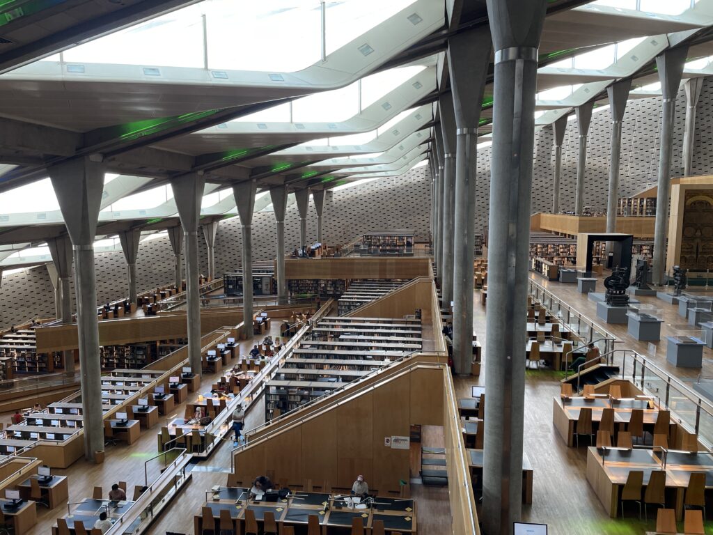
The walls are covered in concrete walls that reduce the sound and absorb the echo.
-
Egypt
-
Val d’Aosta
Lorem ipsum dolor sit amet, consectetur adipiscing elit. Ut elit tellus, luctus nec ullamcorper mattis, pulvinar dapibus leo.
Gran Paradiso National Park
Day 1 – Colle del Nivolet and lakes tour
It’s the Aostan access to the Colle del Nivolet where you will find the Rifugio Savoia, built in 1860 as a royal hunting manor. From the parking in Port Valsavaranche, yellow signposts point to the start of the dirt path to the Colle del Nivolet. The pathway climbs in a forest of larches, passes a beautiful waterfall and becomes steeper and steeper until the panorama opens up onto the Gran Paradiso glacier. Few bends of the pathway will take you after 1 hour walk to the Arolley Cross (2310 m). Going on, you will walk the open plane of the Nivolet, a 6 km path surrounded by an open nature that reminded us of the Hobbit’s Shire. Walk along the river until you reach the Rifugio Savoia, on the shores of the Lake Nivolet.
Book in advance your bunkbed at the Rifugio Savoia for the night, you will need an early start on Day 2 for the Basei glacier. The Rifugio is not your typical mountain hut with warm people, it’s on the main road and its customers are mainly bikers, but it’s clean and will do for one night.
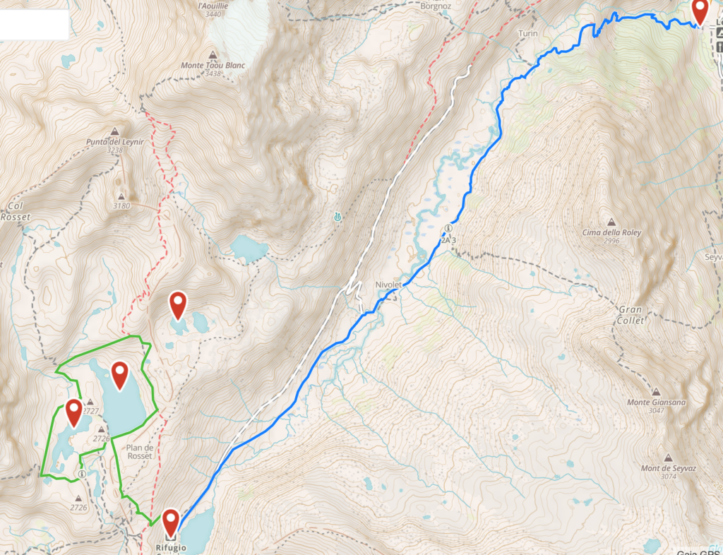
Spend the afternoon exploring the lakes behind the Rifugio. This lakes tour is a magnificent itinerary, not too tiring but instead with an awe-inspiring landscape. Once you have reached the peak of the Colle del Nivolet you have admired the two lakes of Nivolet in front of the Rifugio; now follow the right-side dirt path on the back of the Rifugio (yellow signs) which with a gentle slope will lead you to the plane from where you can explore the three lakes. If you keep walking straight ahead of you, you will reach the Lake Rosset, a transparent pearl that is overhung by the Punta Basei and its glacier. Continue your walk and leave the first lake on your left to reach the Lake Trebecchi, the best place to admire the Gran Paradiso that is reflecting in its waters. Go back towards the Lake Rosset, walk along its shores towards the Punta Basei and you will arrive at the Lake Leita. During your walk you will certainly encounter groundhogs that spy on you from behind the colored flowerbeds.
Day 2 – Punta Basei
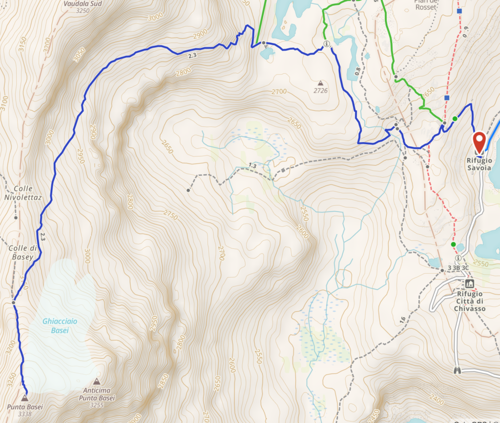
An amazing climb in a varied and colorful panorama. The trek is to be considered alpinist only in its final portion that requires some skills on ice and rock climbing, and some equipment (tampons and picks). The path starts behind the Rifugio Savoia and gently rises on a hill next to the Lake Leita (2700 m). At the left edge of the Lake Leita the path starts a steep climb to reach a crossroad where you will take the right path. After a section with lots of debris you will reach a plane from where you can admire the small Basei glacier (your goal) and the Lakes Nivolet below (your starting point). Keep following the path and you will reach the edge of the glacier. Here you can decide whether to continue left and cross the glacier to the peak, or walk towards the right side and the crest of the mountain where in the summer season the terrain is cleared of ice. In the second case, while ascending with the help of fixed metal ropes, you can admire on your right the Val di Rhemes. In few minutes you will reach the cross at the peak of the Basei (3338 m), on of the most panorami peaks of the Gran Paradiso National Park, with a 360 view on the Gran Paradiso, Cervino, Monte Rosa and Monte Bianco.
Day 3 – Aosta
Lorem ipsum dolor sit amet, consectetur adipiscing elit. Ut elit tellus, luctus nec ullamcorper mattis, pulvinar dapibus leo.
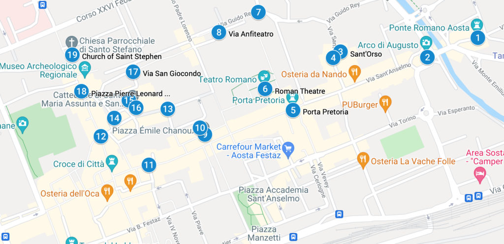
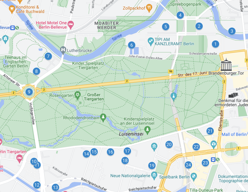
Our tour starts at at the Arch of Augustus (2), the entrance door to the Italian peninsula during the Romans times. It was built to celebrate the victory of Augustus emperor of the 25 BC. The pitched roof is from 1917 and the crucifix above from the XV century. Keep walking beyond the Arch and pass the river Buthier to admire an original Roman bridge (1). The street that now starts from the Arch is via Sant’Anselmo, the heir of the Roman decumanus that was the backbone of the city: keep walking along it and on the right (still outside of the original Roman walls) you will reach the Church of Sant’Orso (3), the most famous religious site of the city of Aosta and still a pilgrimage stop for those walking the Via Francigena.
Once you reach the Church, on your right side you will see the tickets stand for the cloister: while you’re queuing for the tickets, admire the three buildings and the octagonal tower that form the priory in which you are standing. It was built by Giorgio di Challant (the noble aostan family of the Middle Ages) in 1468. The tickets will allow you a visit to the cloister, surrounded by 52 capitelli built from 110 onwards, that tell the story of the life of Saint Orso. A written legend outside of the cloister gives detailed explanation to each capitello. To the left of the cloister, the Church of Saint Orso dates to the year 994: walk the three navels and admire the wooden choir and the glazed windows.
In front of the Church, stop to admire a 400 years old linden and follow the small road to the paleo-christian Church of San Lorenzo (4), now deconsecrated, that hosts in the basement a nice archeological tour of the original church remains and of the adjoined burial ground.
Back to Via Sant’Anselmo you will reach the Pretorian Doorway (5), the true monumental entrance to the Roman city. Enter through one f the three arches and you can still feel the grandiosity of the Roman Empire. Once you are inside the Roman walls, on your right you will be able to admire the Roman Theatre (6) that during the I century BC could host an audience of 3000 people. Its grandiosity had the scope to leave in awe whoever was entering the Roman Empire from Gaul.
Keep walking to Torre dei Balivi (7), the residence of the Savoia representative in the city during the 1200, and turning left you will see the remains of the amphitheater (8) of the I century DC. Another left turn will take you to Piazza Chanoux (9), the heart of the city, built under the rein of Carlo Alberto of Savoia. This huge piazza is the heart of the modern Aosta, where ceremonies, expositions and markets are held. The Hotel de Ville (10) occupies nearly 140 meters of the right side of the piazza. The neoclassical facade is characterized by porches. Being a public office, you may be just able to glimpse the staircase and the ample salon.
Exit the piazza by via Jean-Baptiste de Tillier (11), continue to via Croix de Ville (12) and via Monsignor de Salles (13) to admire the neo-classic buildings, and remember that Calvin flew Aosta from these streets once he failed to convert the city. You will reach piazza Giovanni XXIII (14) that act as a stage for the criptoportico forense (15) and the Cathedral (16).
On the left side of the piazza, by a staircase, you will gain access to the monumental gallery that forms the criptoportico (a hidden porch, basically), that has an horse-shoe plant and had the initial scope of an indoor walk. Between the III and IV century, it became a storage area. When we visited Aosta, the Cathedral (16) was closed but maybe you will have better luck.
Continue your visit to via San Giocondo (17), that used to be the religious part of the city, and reach piazza Roncas (18)that used to be the cardo maximus through which Romans could reach the passo del Gran San Bernardo. On one corner of the piazza you can admire an hidraulic wheel that works over a small channel of Roman origins.
Last stop of our itinerary is the Church of Saint Stephen (19), now outside of the Roman walls, that has a massive wooden statue of San Cristoforo inside.
Monte Bianco
Day 4- Val Veny “Balcony”
Equivalent to anti-clockwise stage 4 in Kev Reynolds’ TMB (Tour Mont Blanc) guidebook. This stage can be walked independently, not as part of the whole 10 day trek. Features a moderate 600m/600m elevation gain/loss, and spectacular and continuous views of the Italian side of the Mont Blanc (Monte Bianco). Total walking time of the full day hike as marked: 5-6 hours excluding optional detours (Lago Miage and Rifugio Elisabetta). Generally recommended from June to September, but check weather forecast and avoid in bad weather.
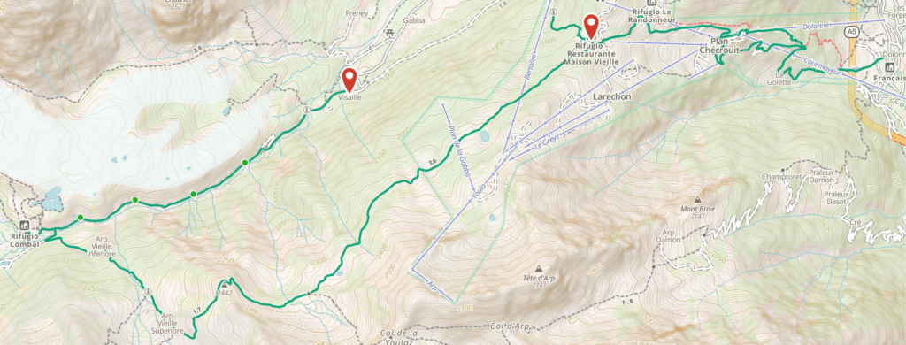
Get to La Visaille (1800m) at the top of the Val Veny valley road. Either drive all the way up and park between the bridge and the closed gate, or take the hourly Val Veny bus from Courmayeur to the last stop.
Walk up the valley for about an hour (ascending about 200m), and connect to the main TMB trail near Combal (2000m). Optional 30 min detour to Lago Miage (recommended).
Ascend along the TMB for about an hour to the highest point of the trail (2400m), then descend to Rifugio Maison Vieille (2000m).
From Rifugio Maison Vieille you have several options:
a. Easiest: Descend to Courmayeur (1300m) using the Dolonne cable car in July-August only: http://www.courmayeur-montblanc.com/?
b. Longest: Descend to Courmayeur (1300m) on foot, following the main TMB trail
c. Shortest: Descend straight to Val Veny valley (1700m), where the aforementioned bus has multiple stops along the valley road.
d. Closing the loop: Descend back to La Visaille (1800m), where your car is parked – this route is marked on the map.
For options C and D – take trail number 6 which goes north-west from the Rifugio clearing.Day 5 – Dent du Geant and Aiguille du Midi
-
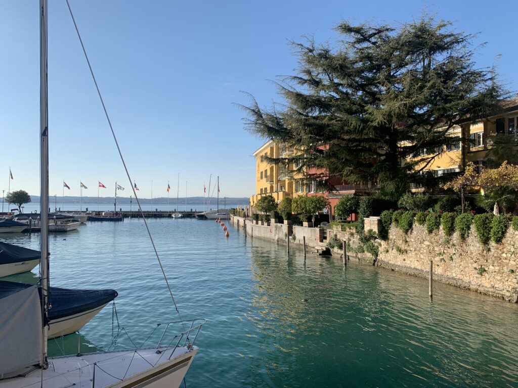
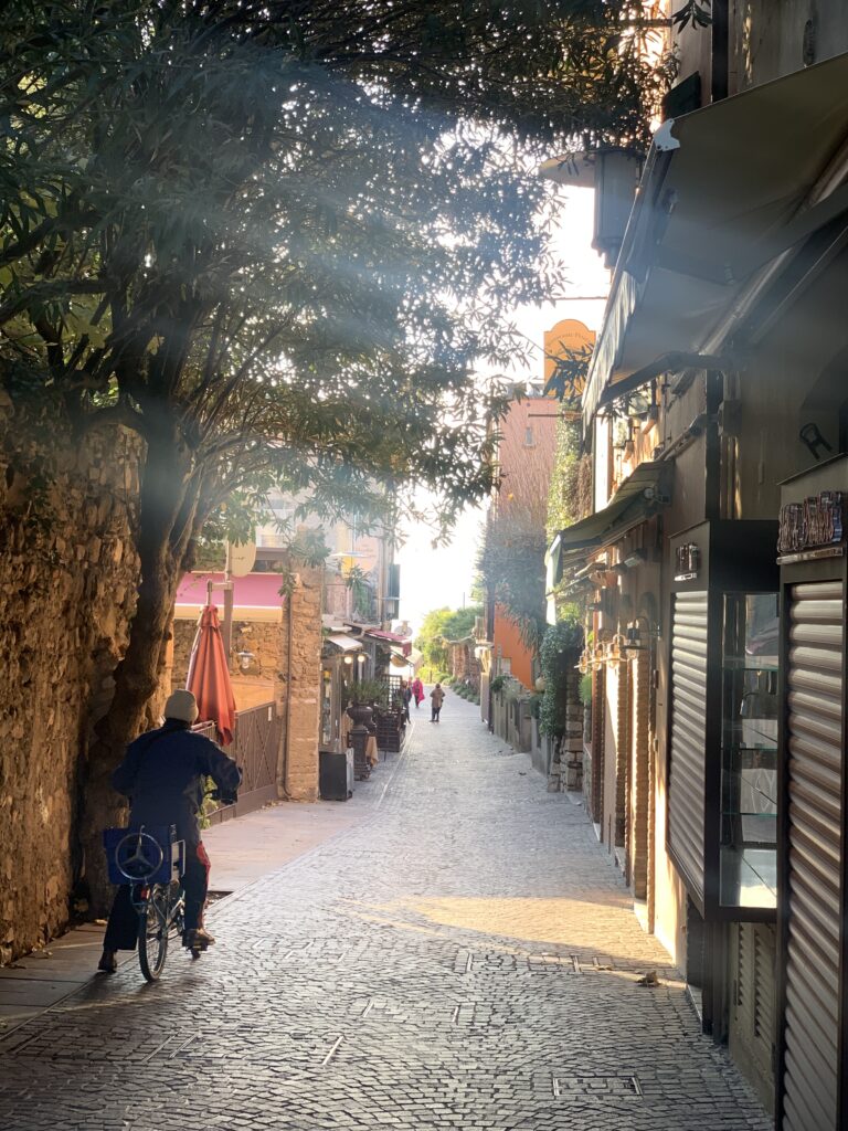
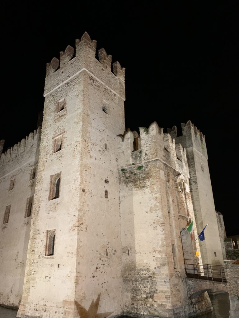
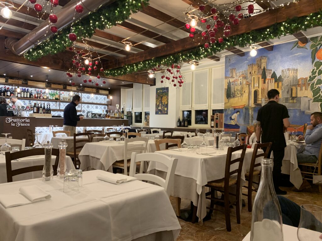
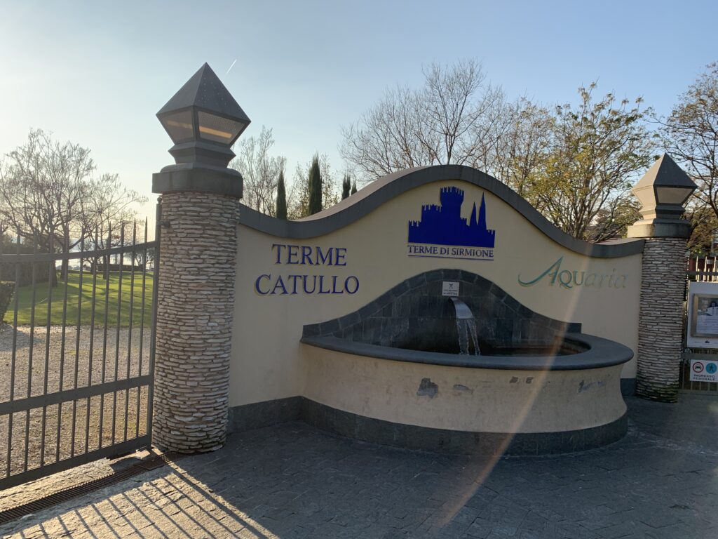
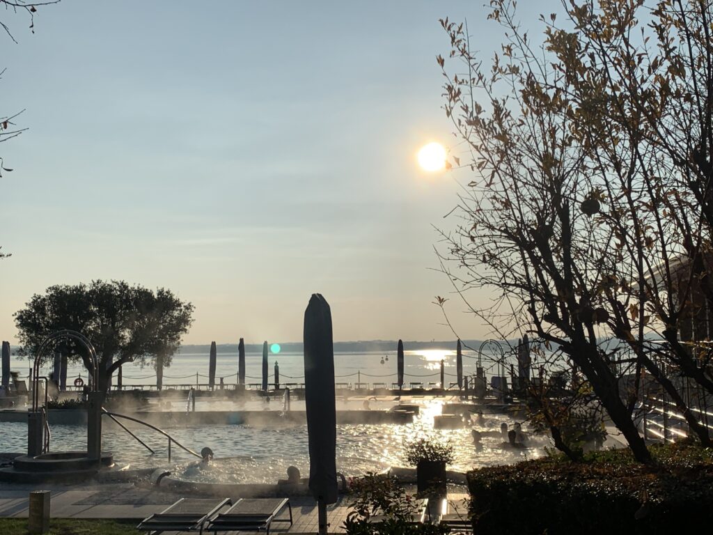
Sirmione
Add Your Heading Text Here
Lorem ipsum dolor sit amet, consectetur adipiscing elit. Ut elit tellus, luctus nec ullamcorper mattis, pulvinar dapibus leo.
Lorem ipsum dolor sit amet, consectetur adipiscing elit. Ut elit tellus, luctus nec ullamcorper mattis, pulvinar dapibus leo.

Lorem ipsum dolor sit amet, consectetur adipiscing elit. Ut elit tellus, luctus nec ullamcorper mattis, pulvinar dapibus leo.
Lorem ipsum dolor sit amet, consectetur adipiscing elit. Ut elit tellus, luctus nec ullamcorper mattis, pulvinar dapibus leo.
Previous
NextAdd Your Heading Text Here
Lorem ipsum dolor sit amet, consectetur adipiscing elit. Ut elit tellus, luctus nec ullamcorper mattis, pulvinar dapibus leo.
-
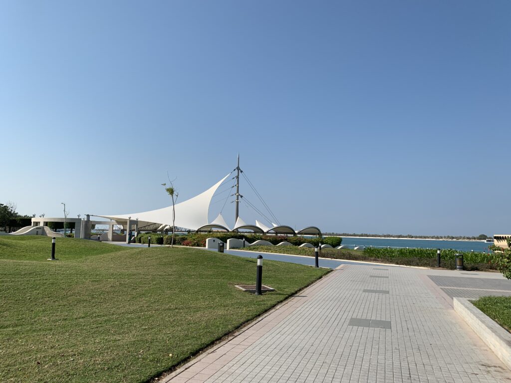
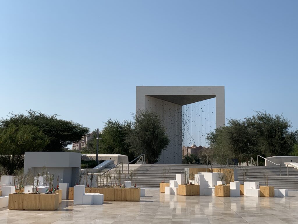
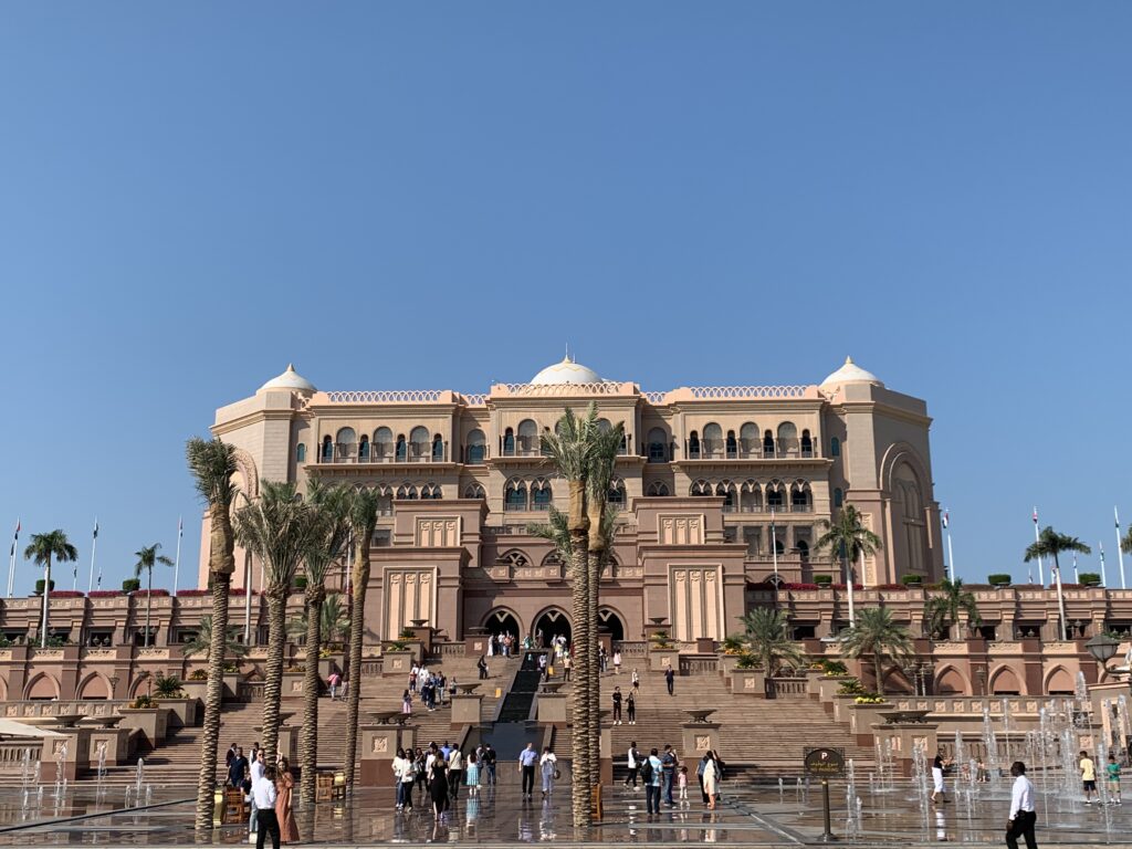
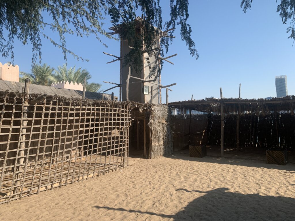
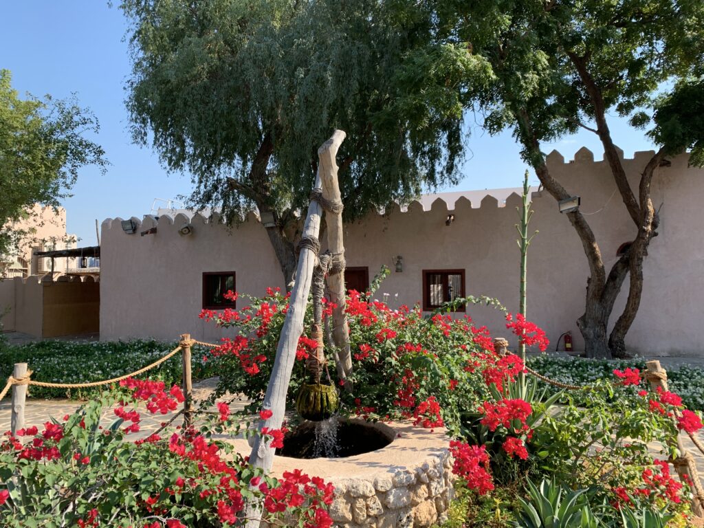
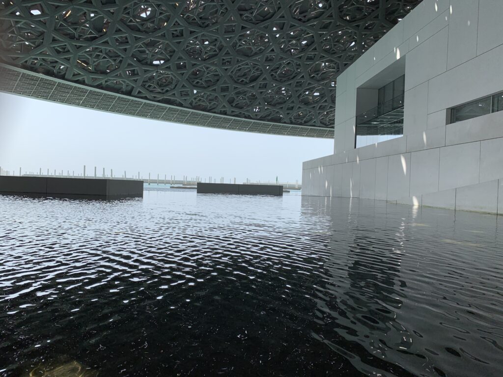
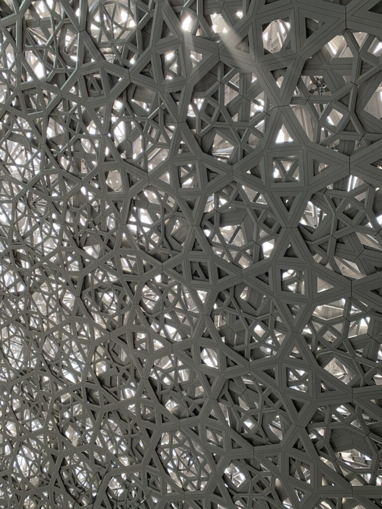
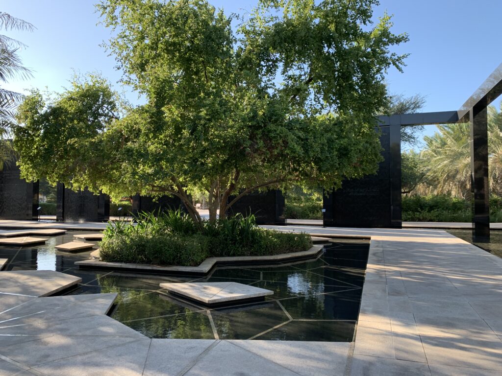
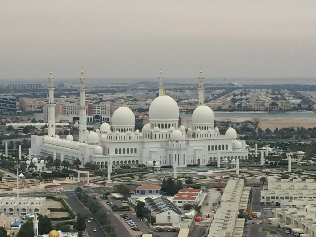
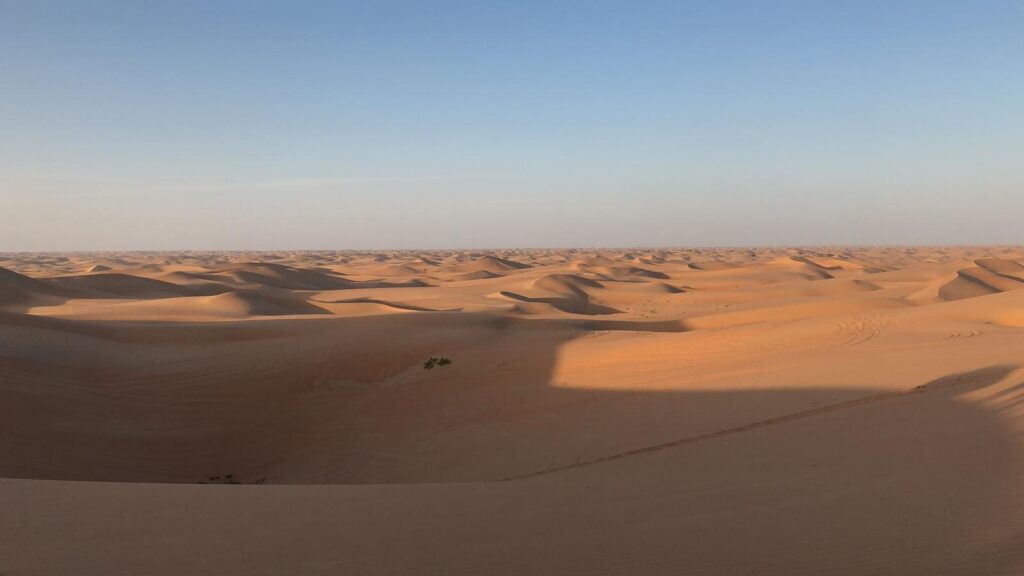
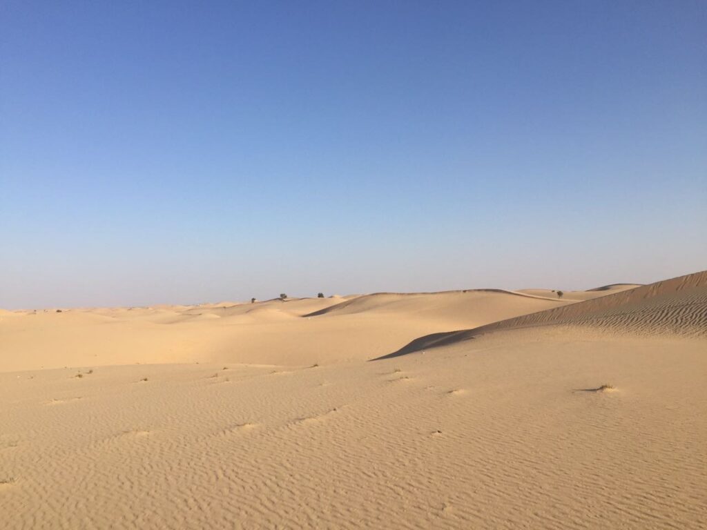
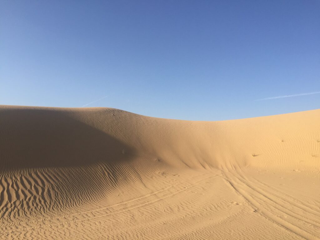
Abu Dhabi