-
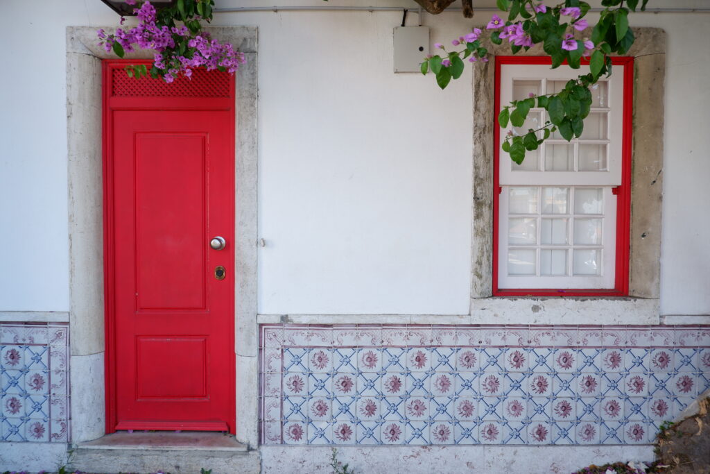
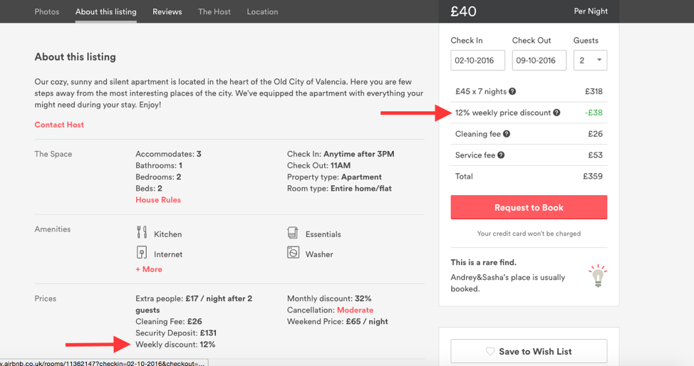
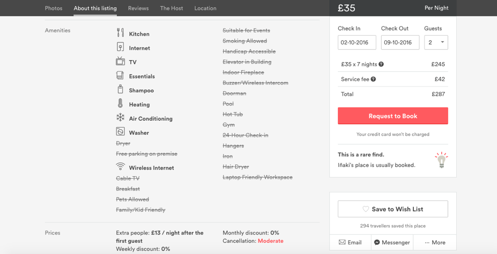
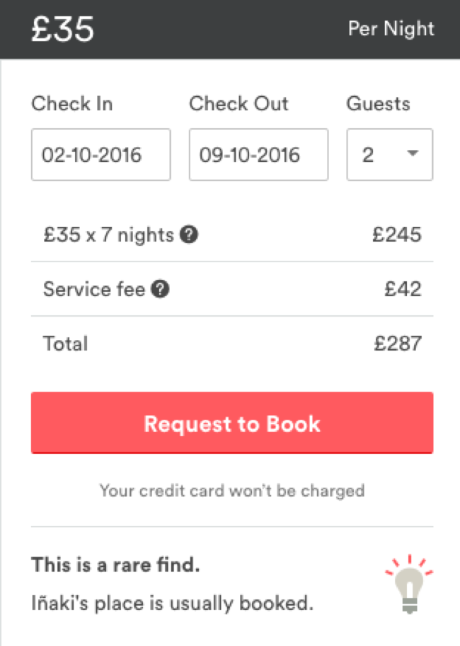
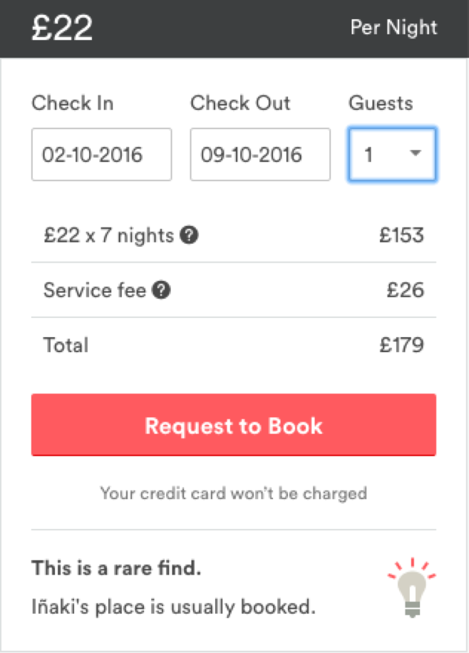
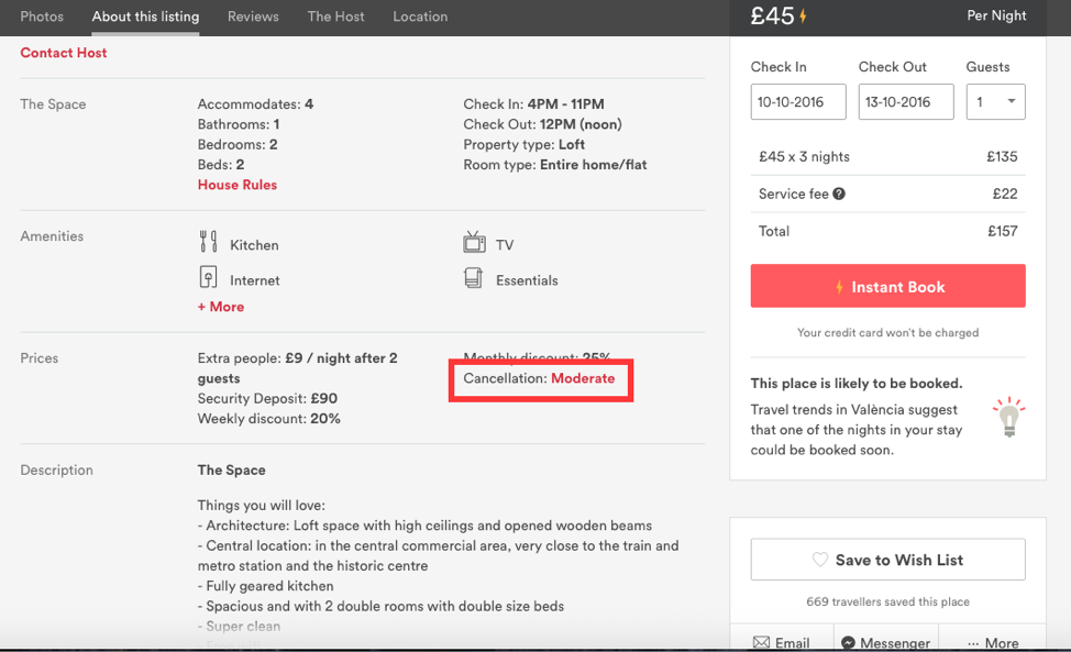
AirBNB
-
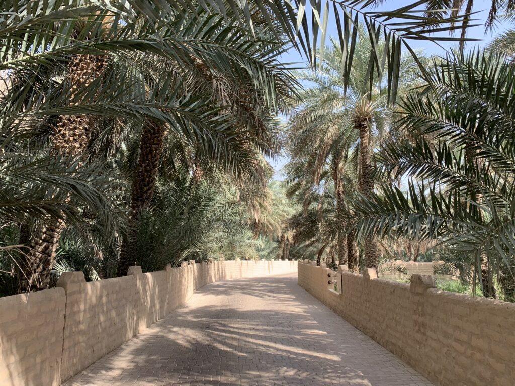
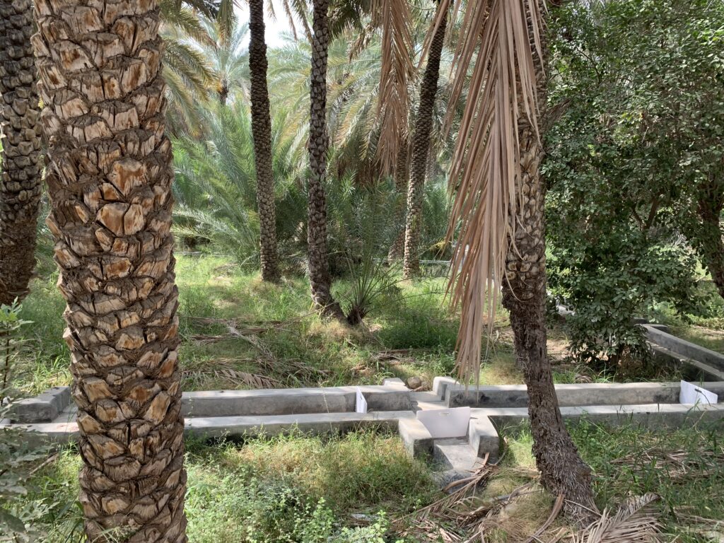
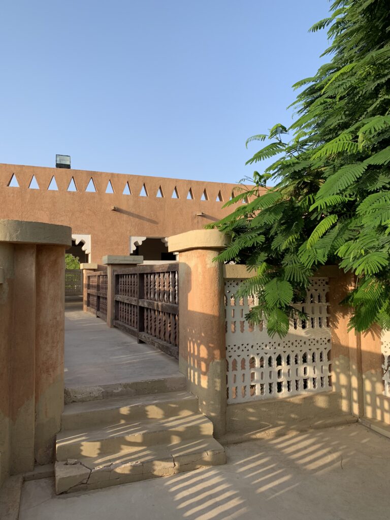
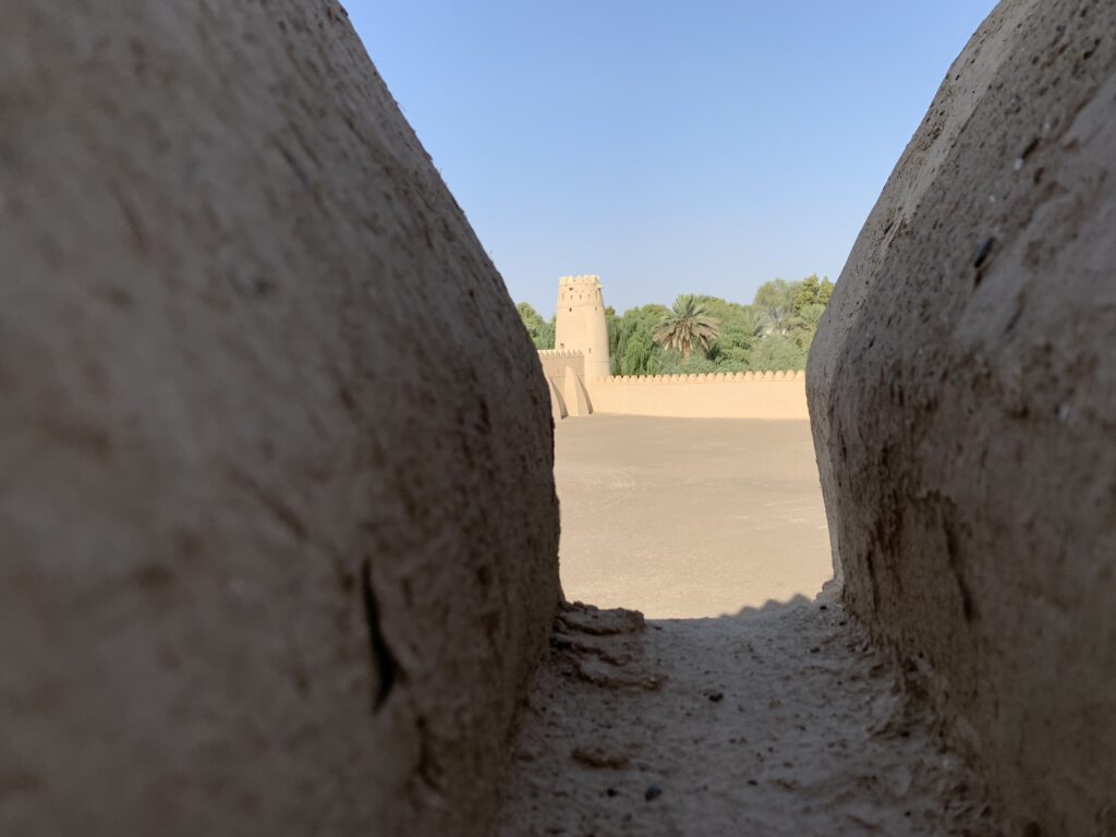
Al Ain
-
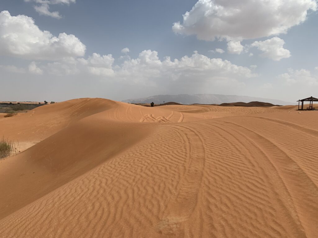
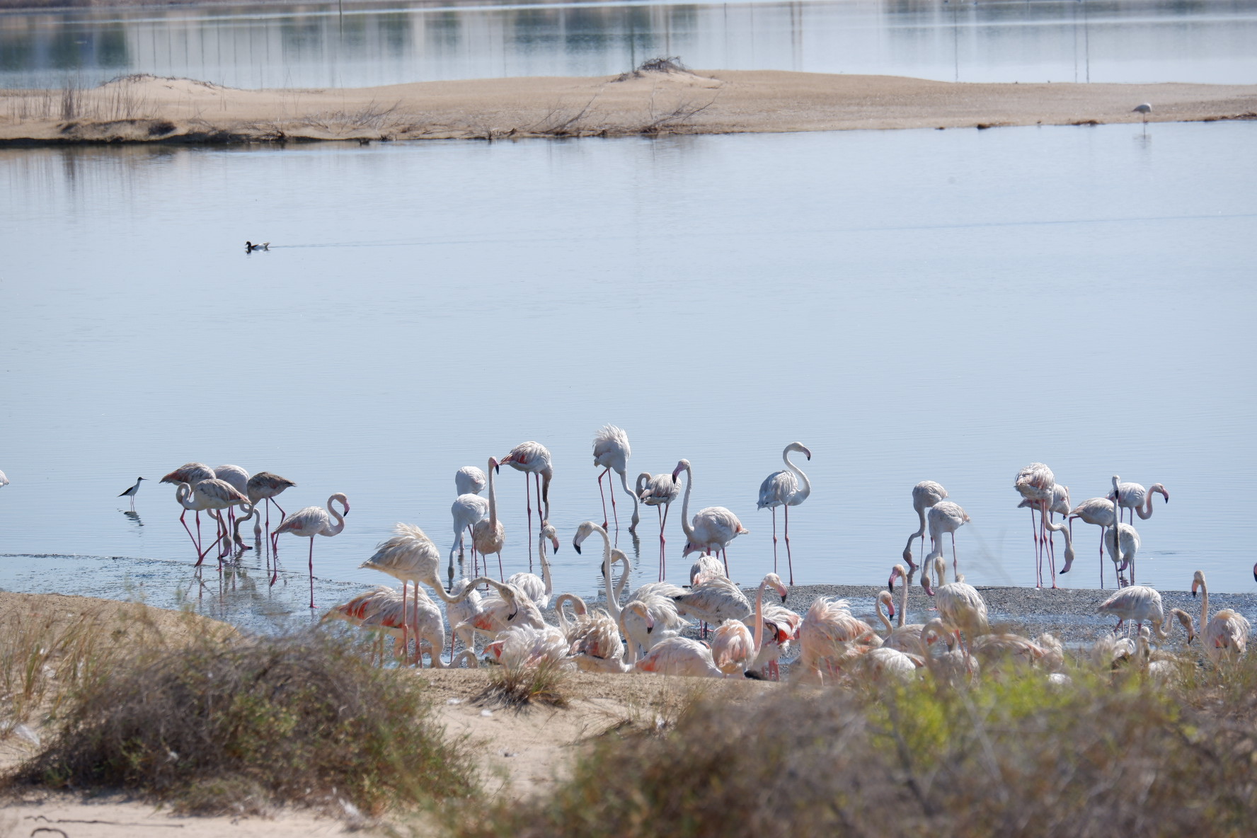
Liwa Oasis
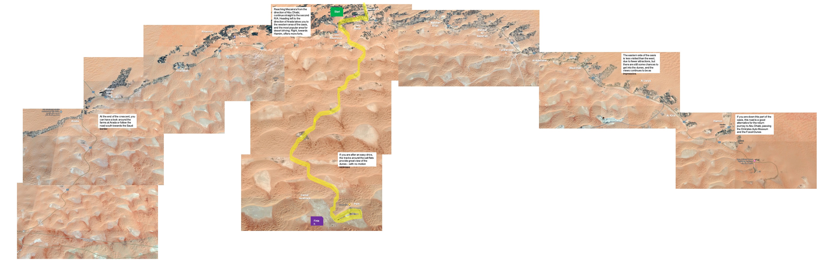
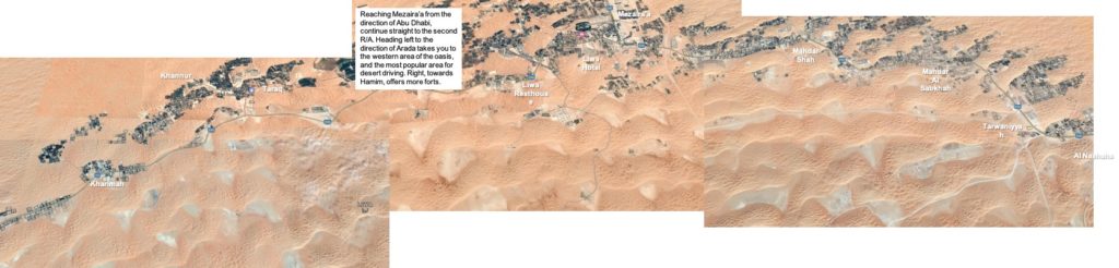
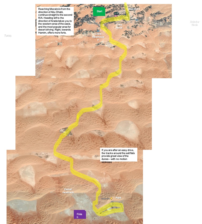
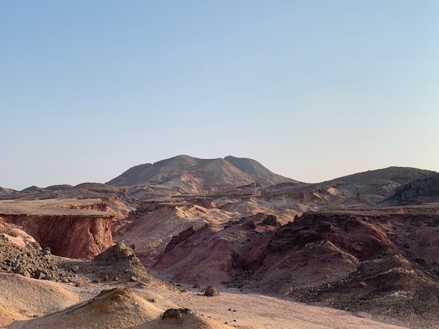
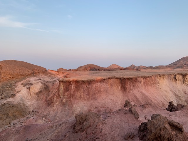
A trip to Liwa in the Empty Quarter (or Rub Al Khali) is a must for any off-roader during their time in the Middle East. It’s the biggest sand desert on the planet. The sheer scale of the scenery and the size of the dunes has to be seen to be believed. This epic route is more of an expedition than just a spot of camping, so go prepared for the experience of a lifetime.
Home to the Bani Yas tribe, ancestors of the current ruling family of Abu Dhabi, the fertile Liwa “crescent” stretches over 150 km, and is dotted with small villages. Mezaira’a, at the center of the crescent, is the largest settlement and if you are heading into the desert, the shops and the petrol station here will be your last chance to buy provisions and fuel, so stock up. Extra jerry cans of petrol are essentials and it’s better to take too much food and water than too little. Four our camping night we took 10 L of water that we used for drinking, washing and cooking.
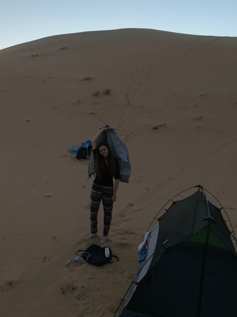
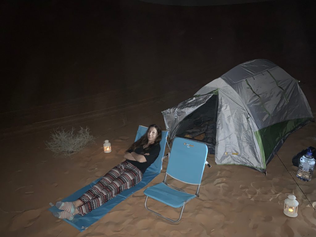
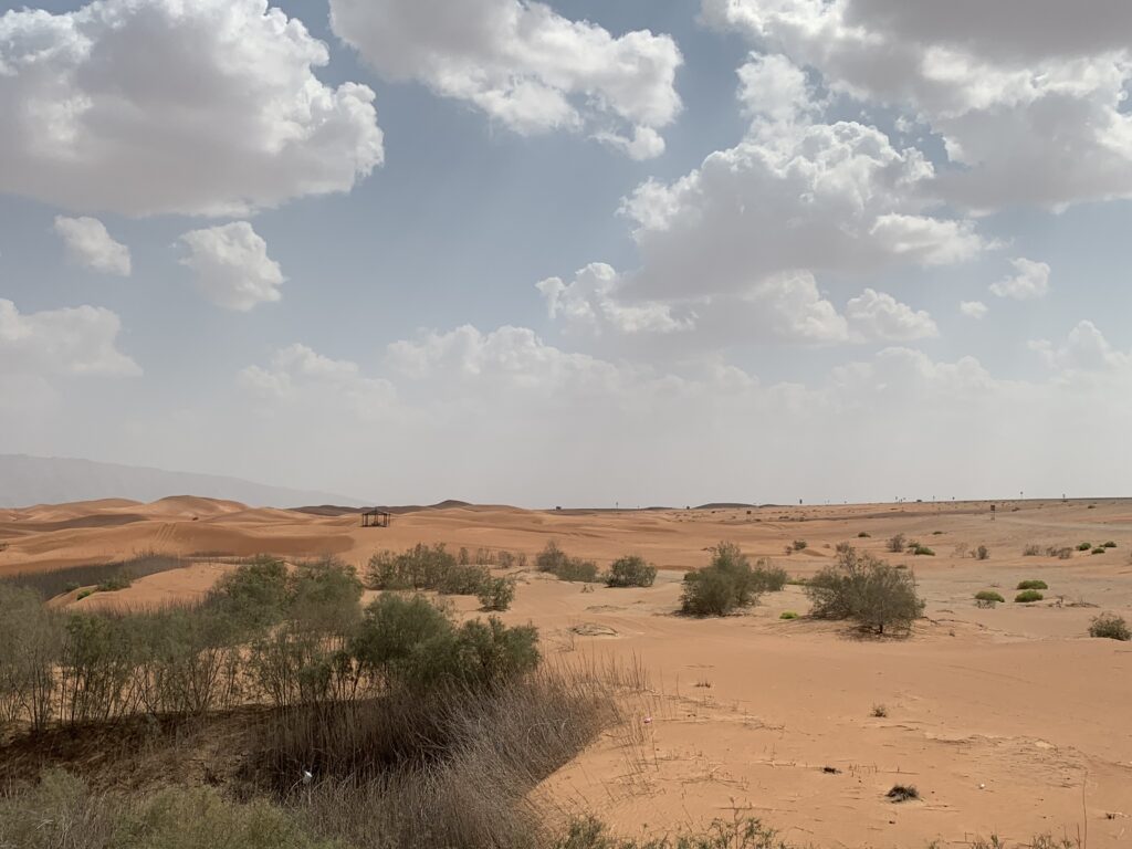
An essential part of any Liwa adventure, camping in the desert is the most popular way to spend the night and can be a truly unforgettable experience.
Waking up to miles of sand rolling into the distance or the sight of the snaking silvery dunes under the moonlight is quite magical. This area provides some of the best desert views in the UAE.
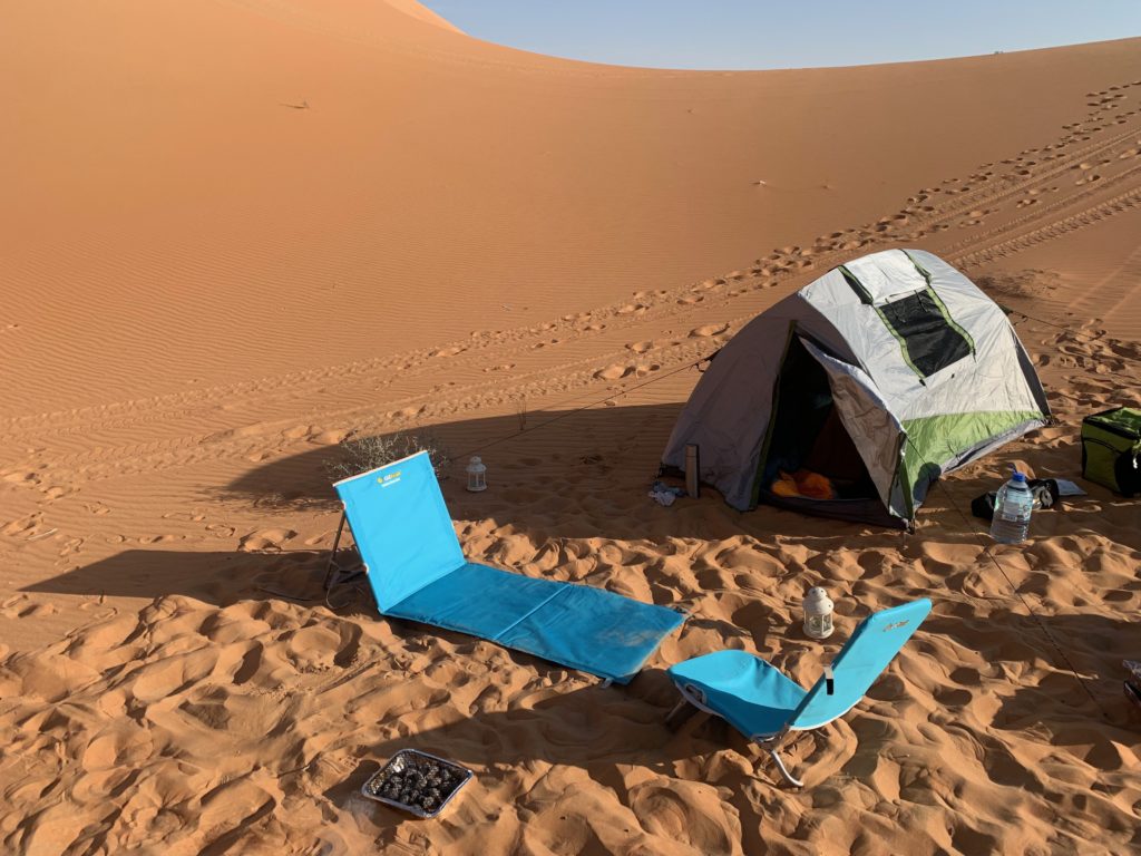
You can camp just about anywhere, so take any of the roads and tracks into the desert off the main road through the oasis. Just make sure you drive far enough from roads, habitations and activity to find a peaceful spot and get settled, long before the sun goes down.
One particular good area is on the road to Moreeb Hill, passing the Liwa Resthouse.
-
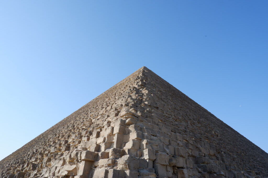
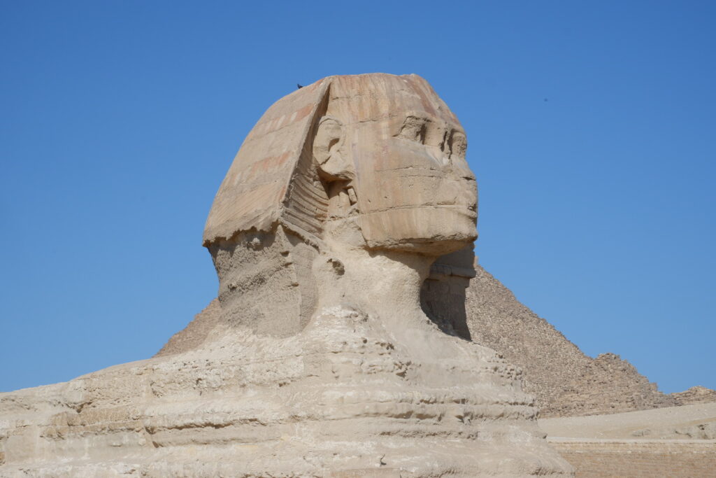
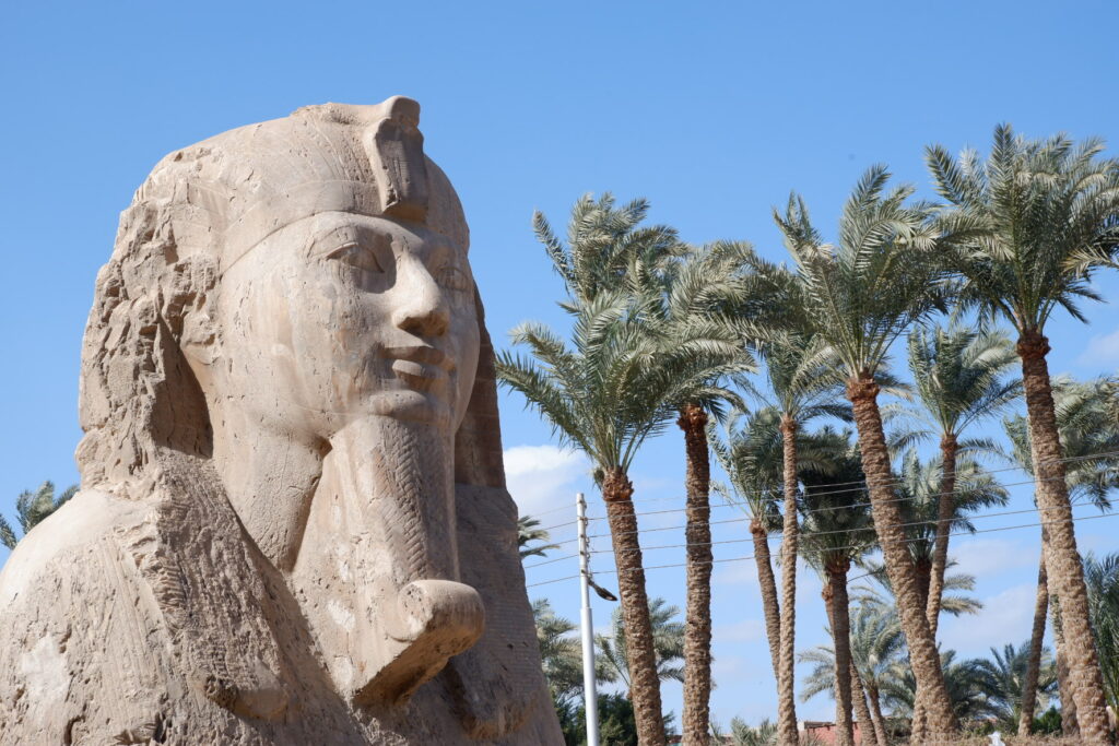
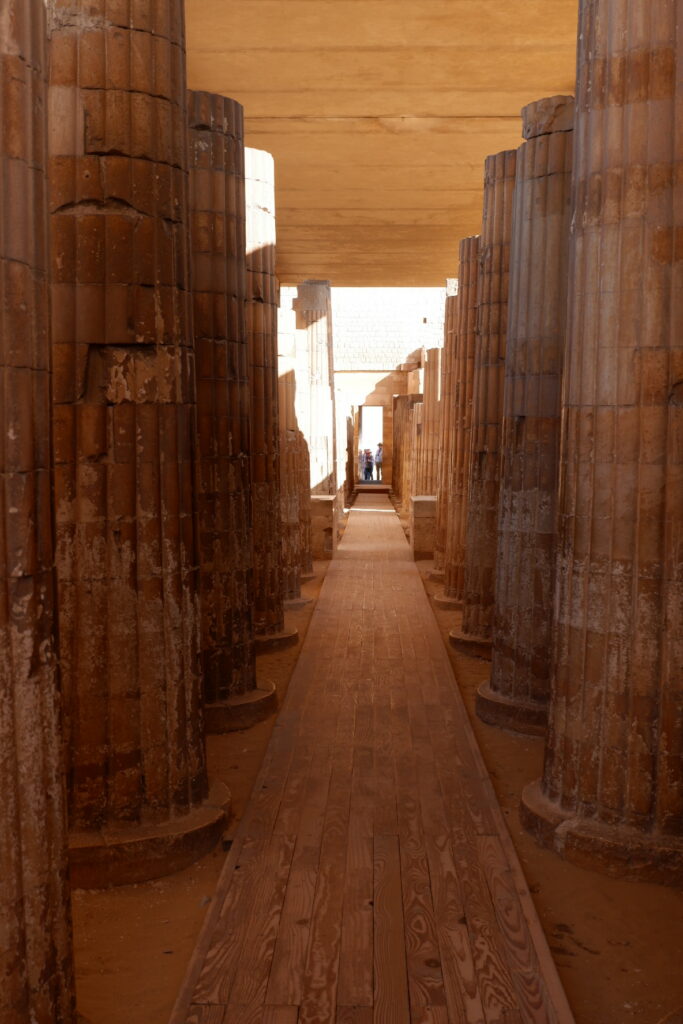
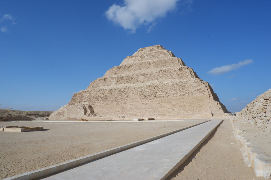
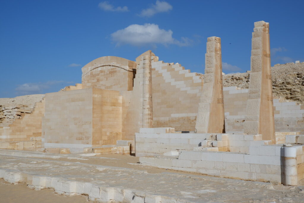
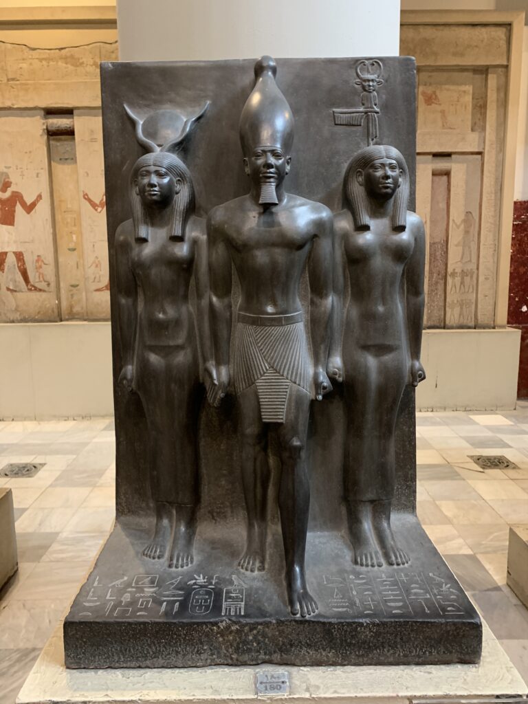
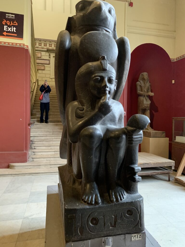
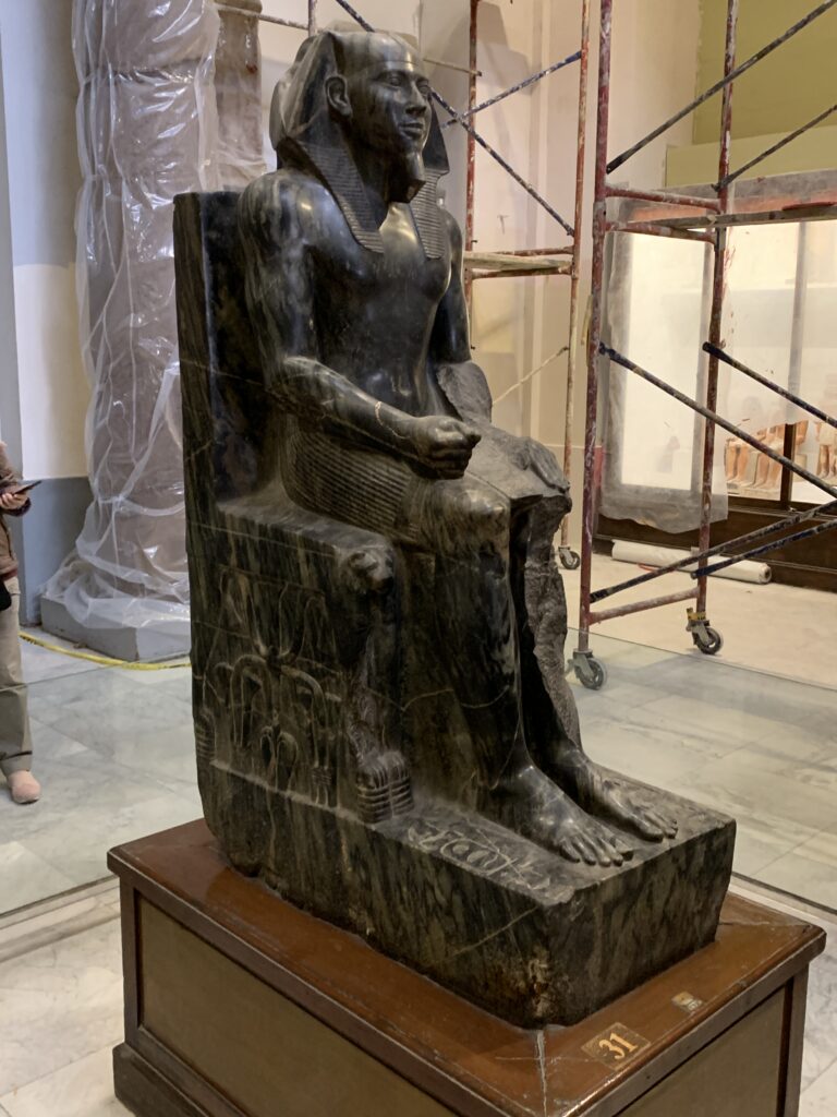
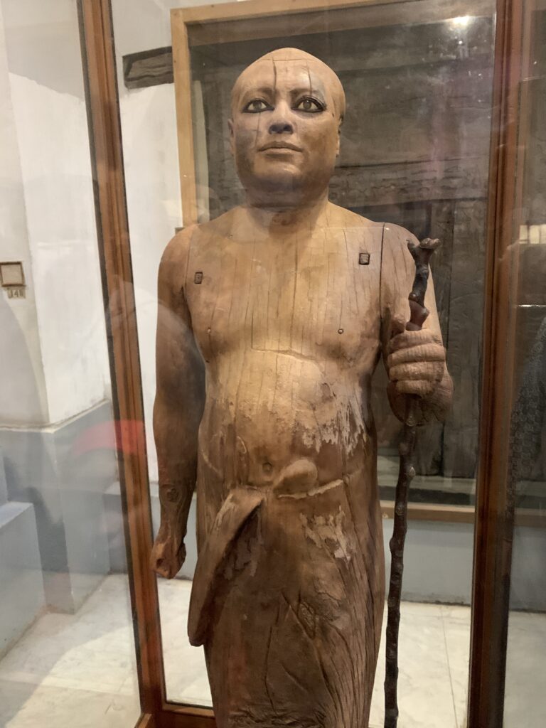
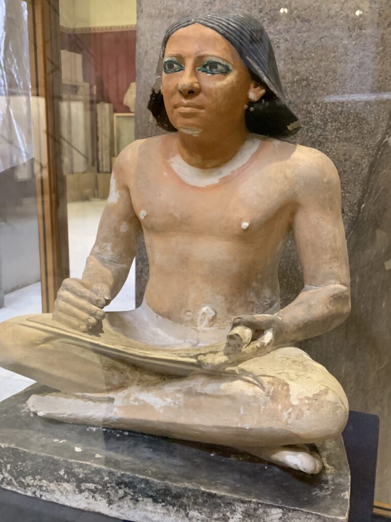
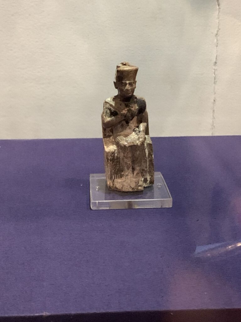
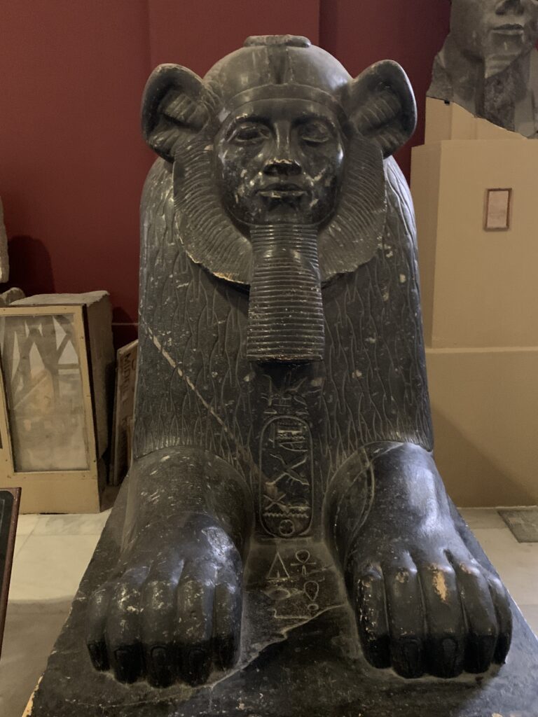
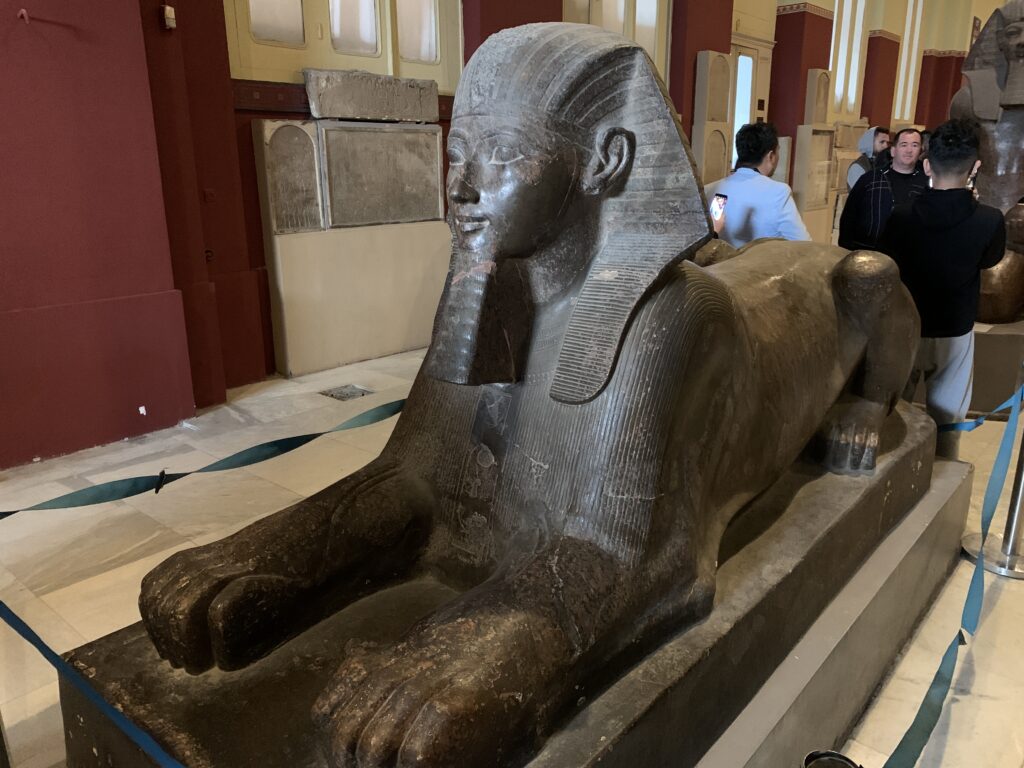
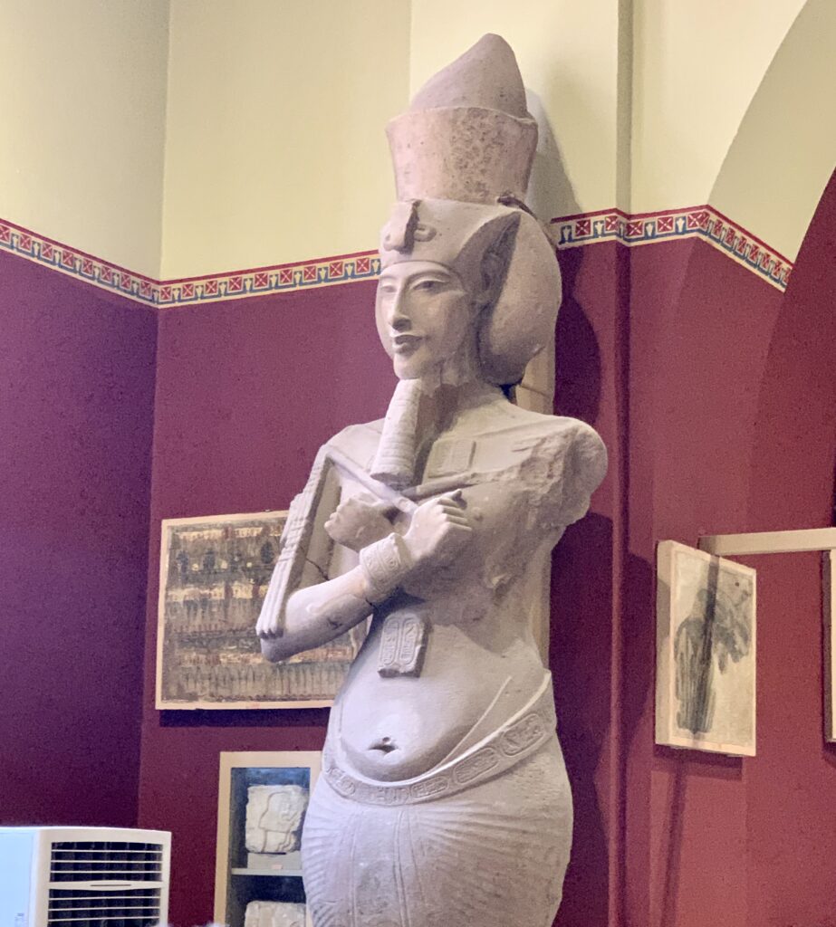
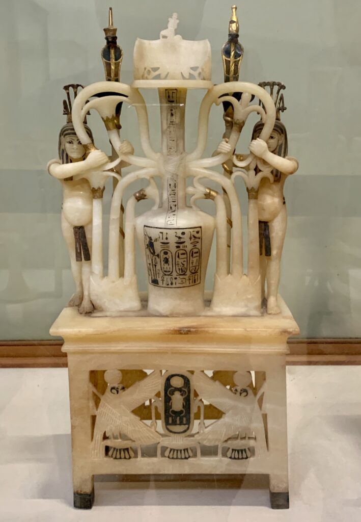
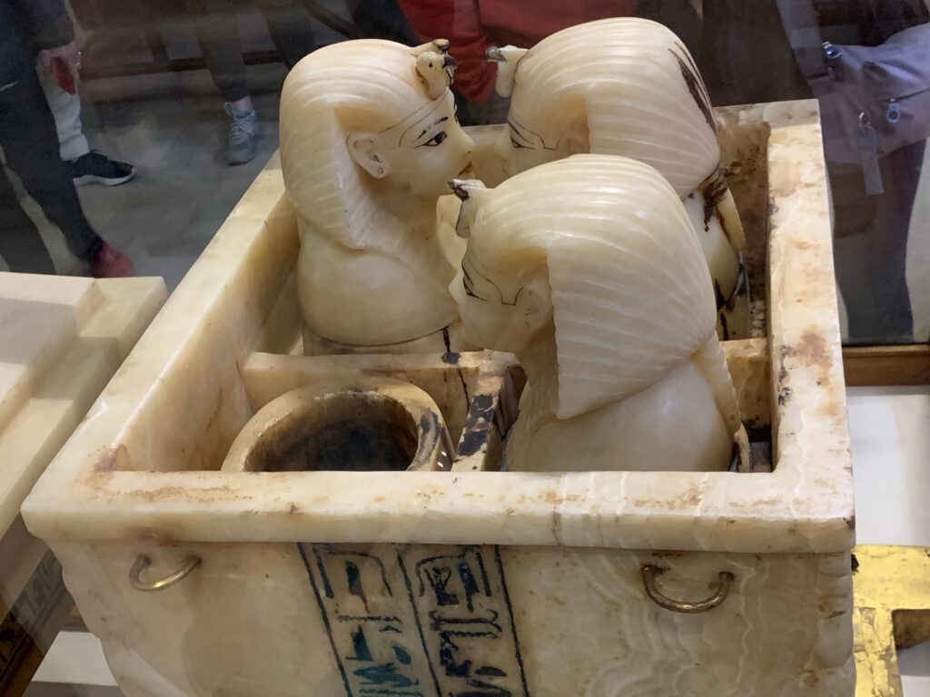
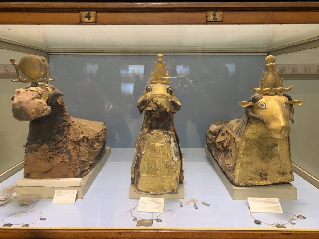
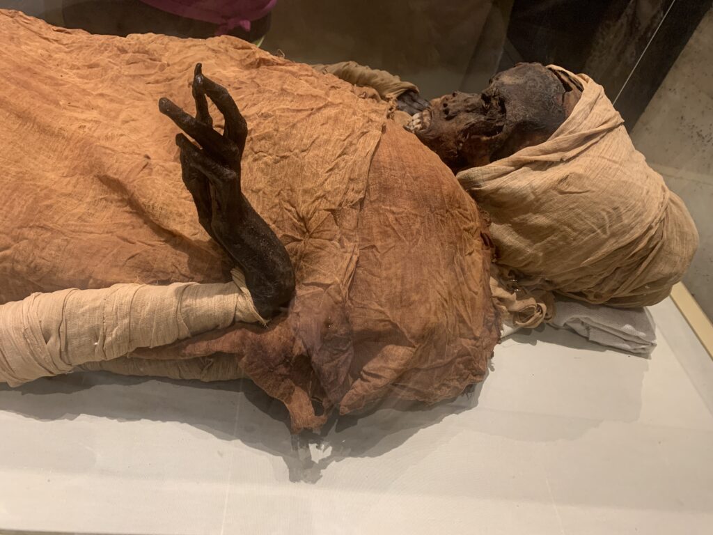
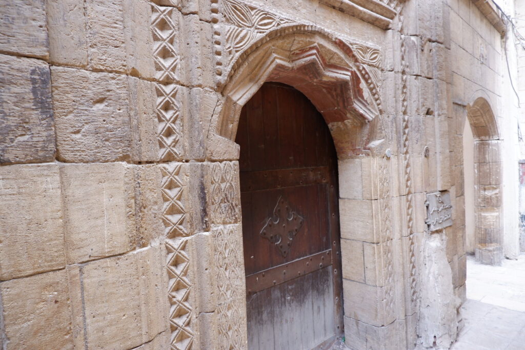
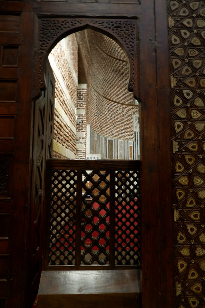
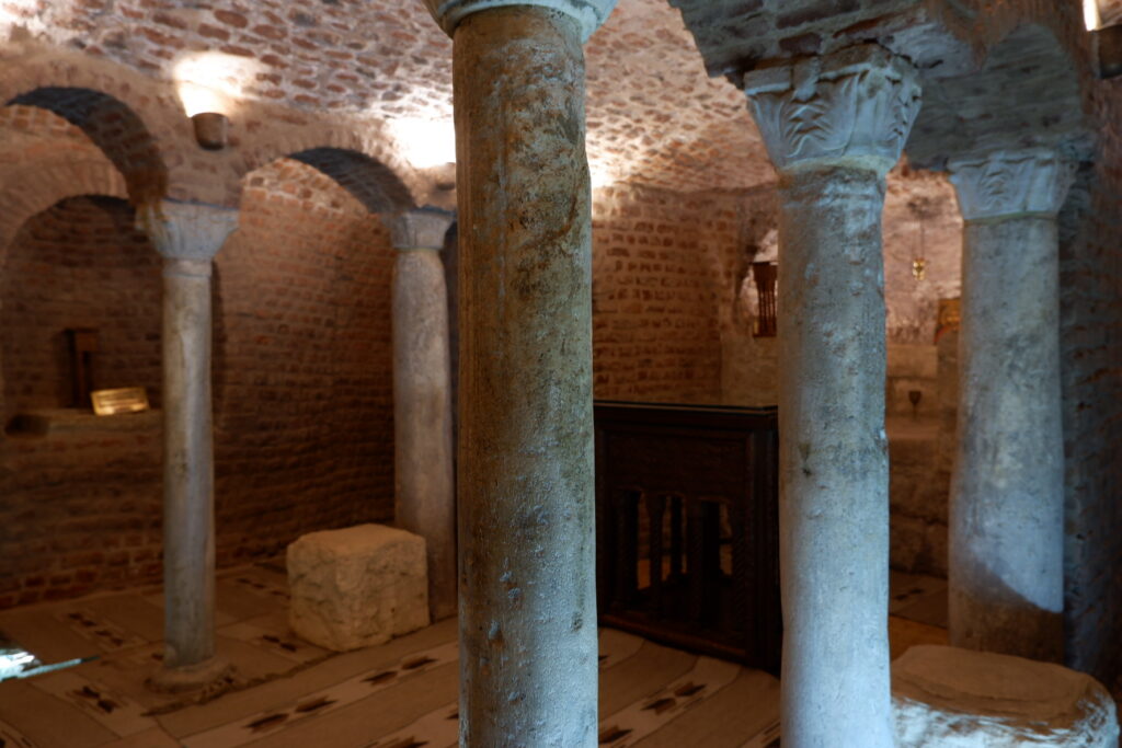
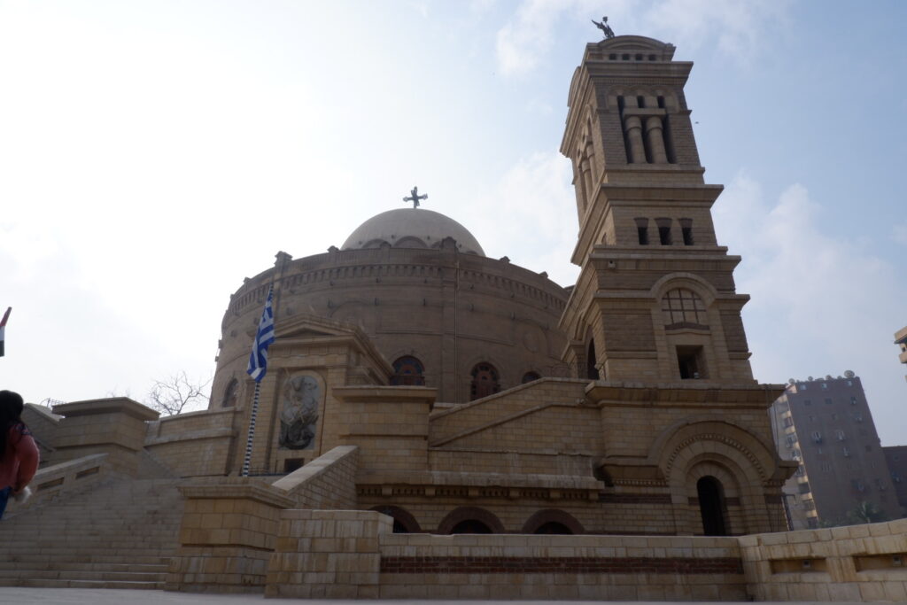
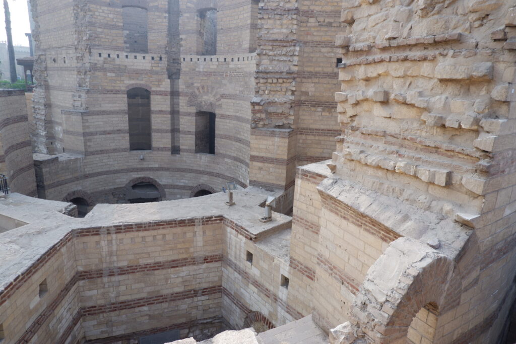
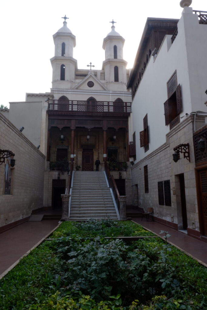
Cairo


-
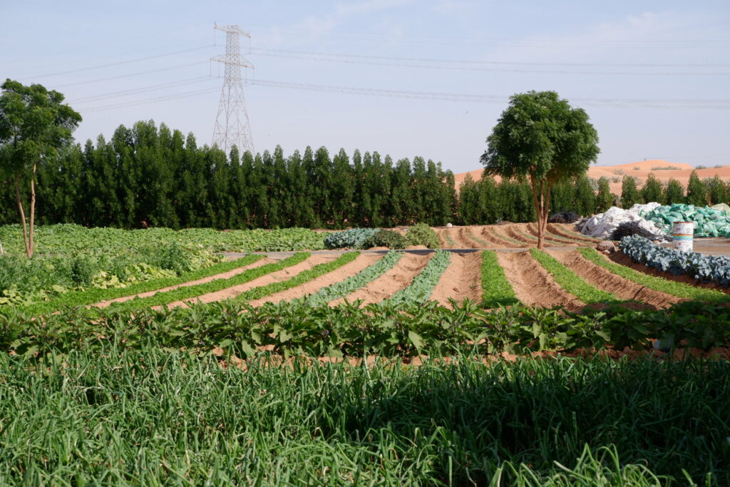
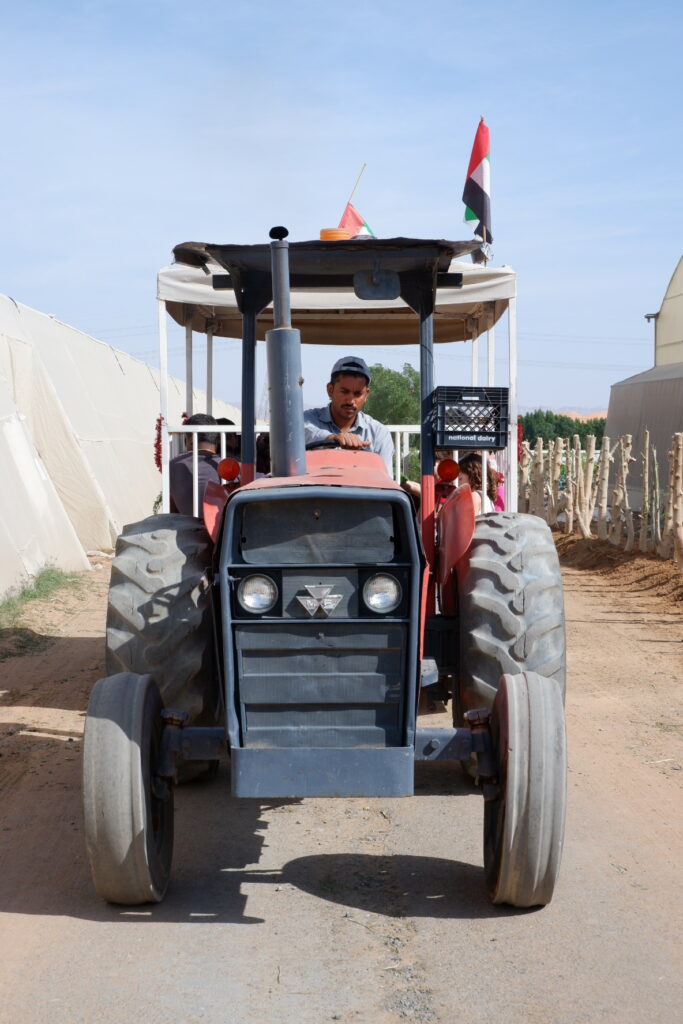
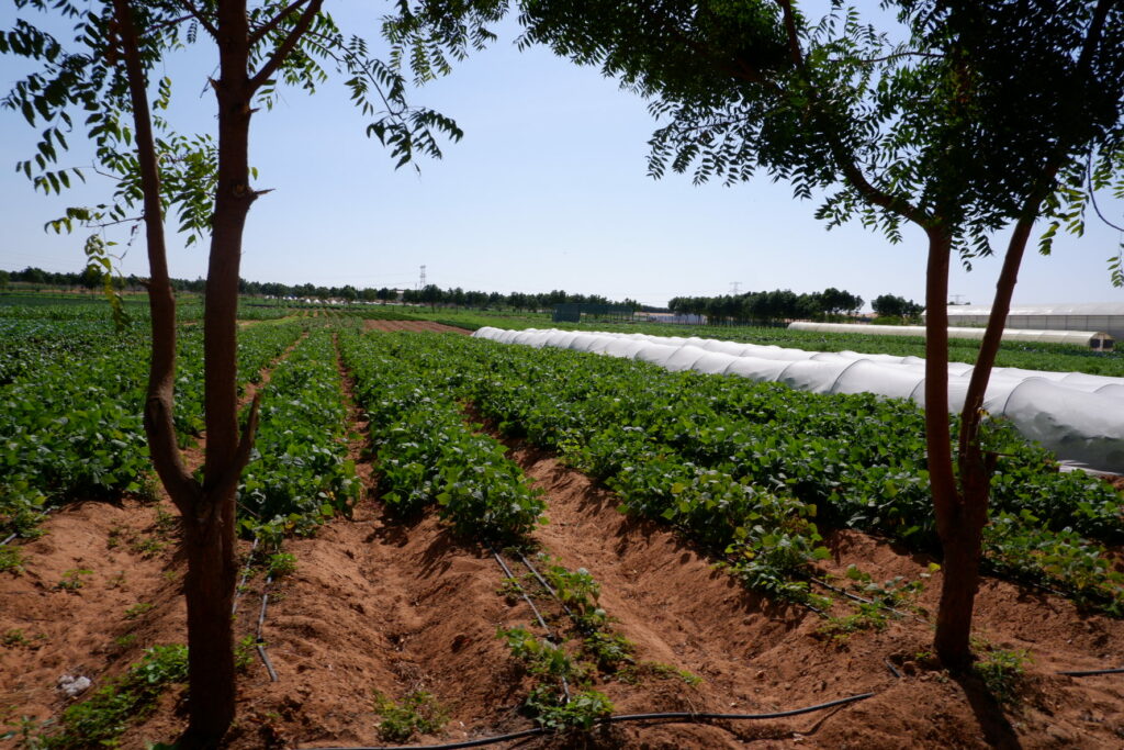
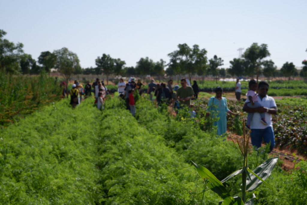
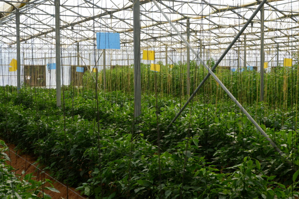
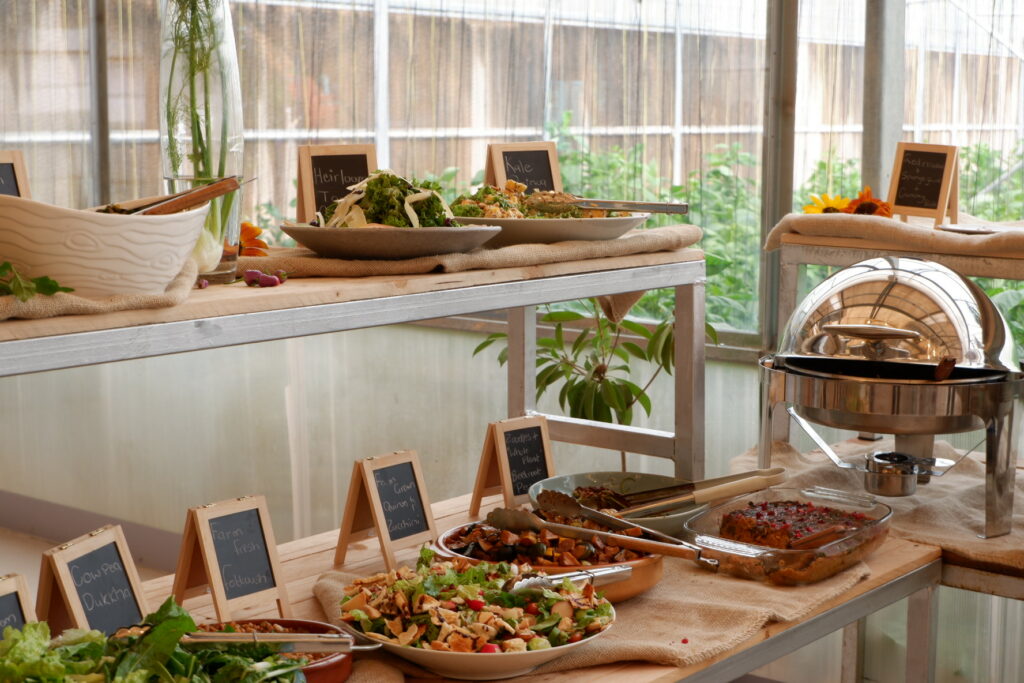
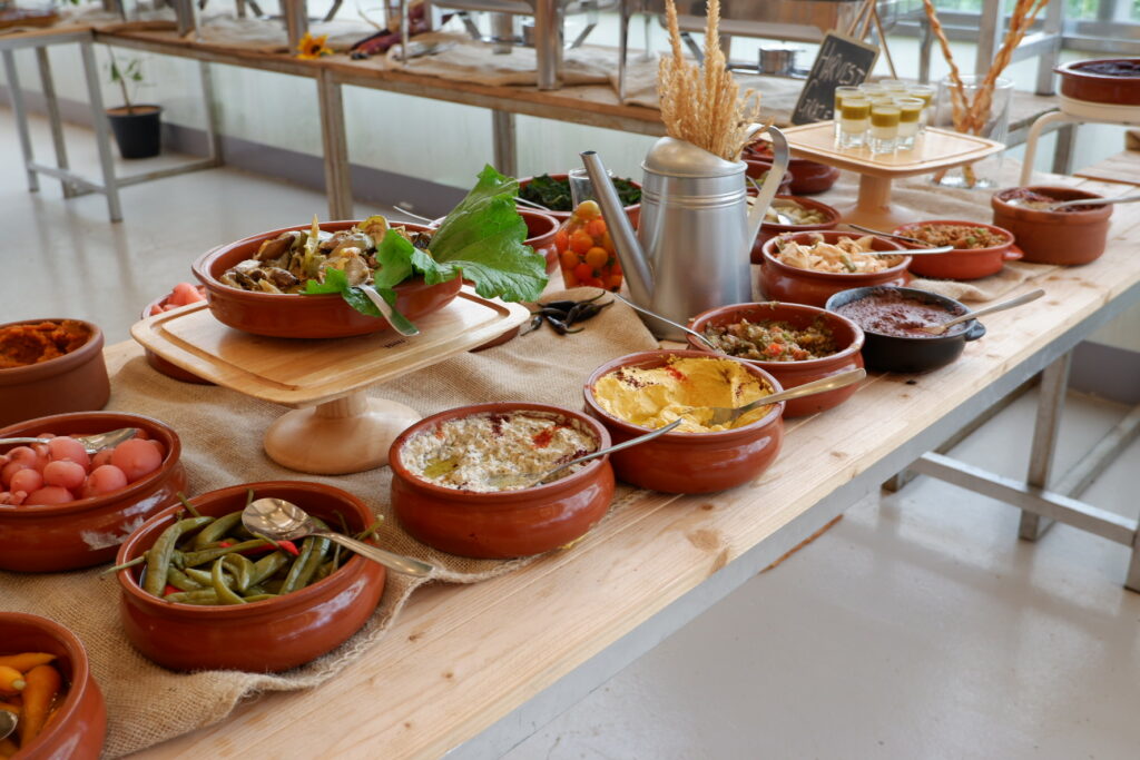
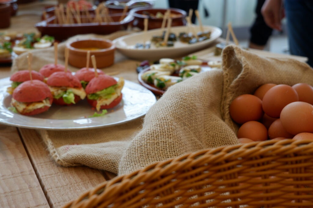
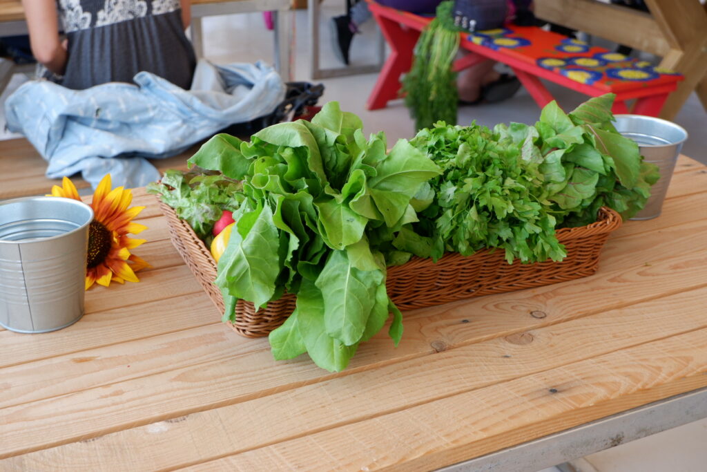
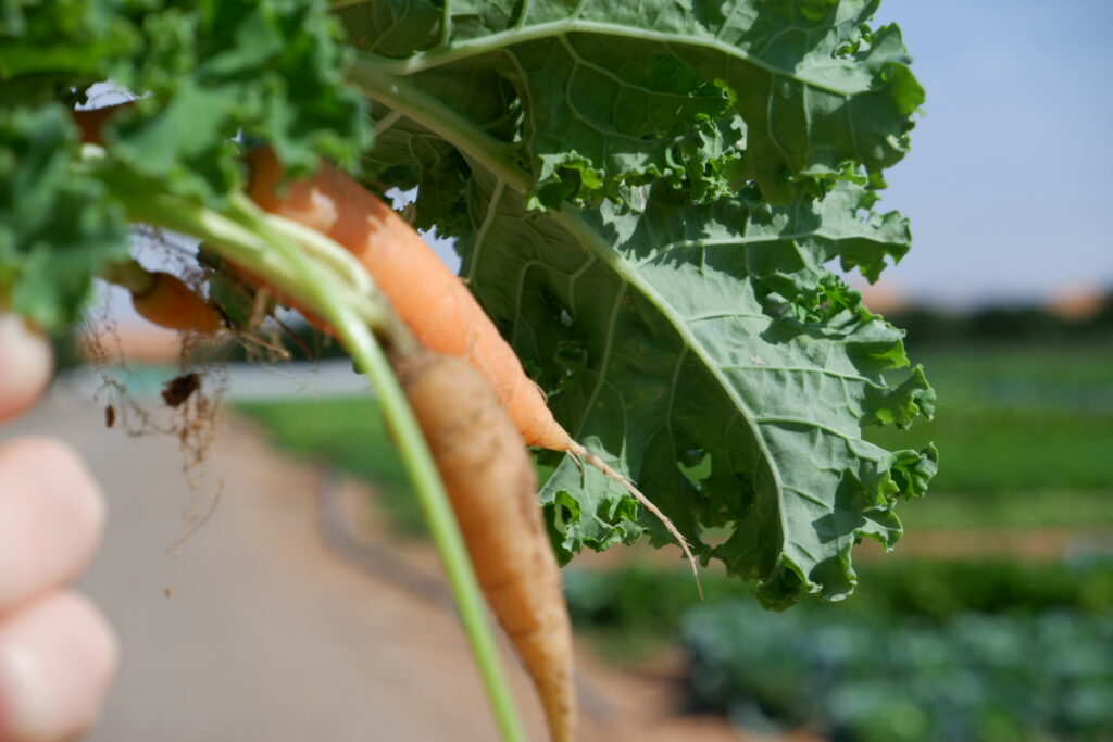
Emirates Bio Farm

-
Emirates of Abu Dhabi


-
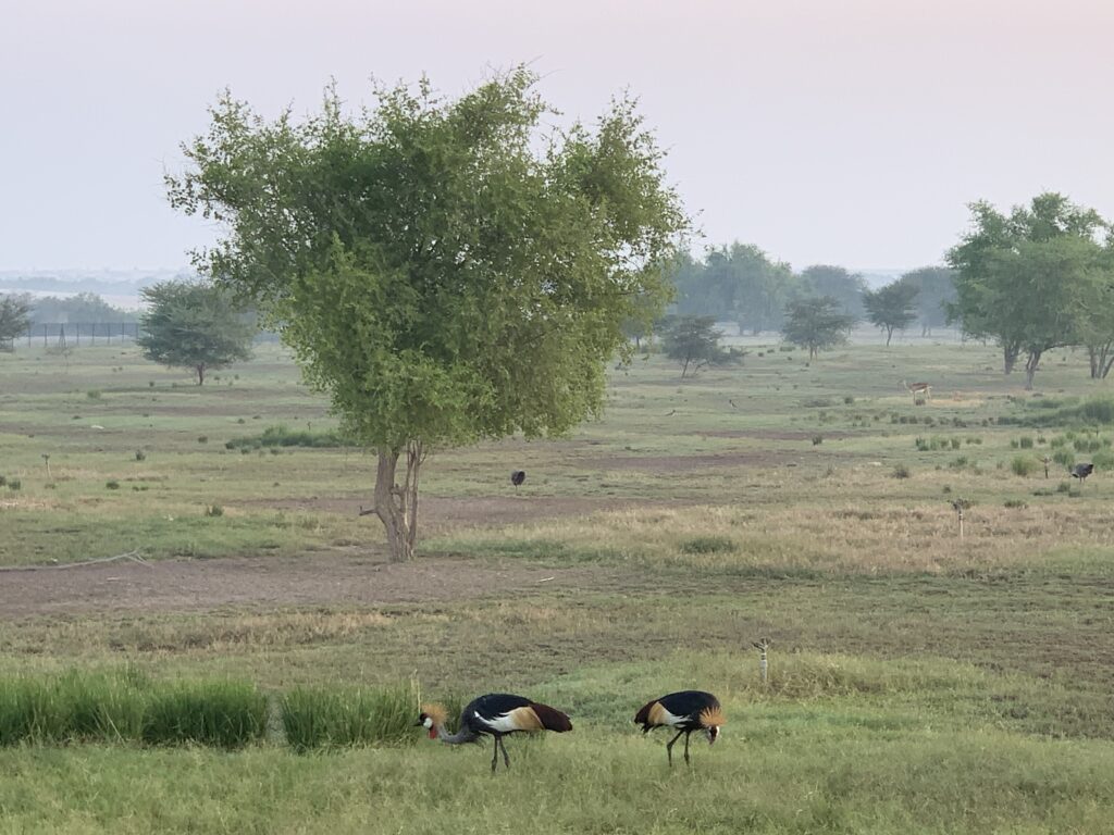
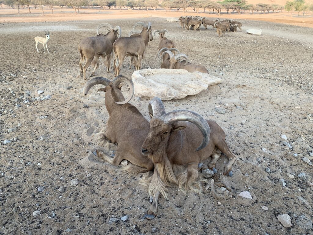
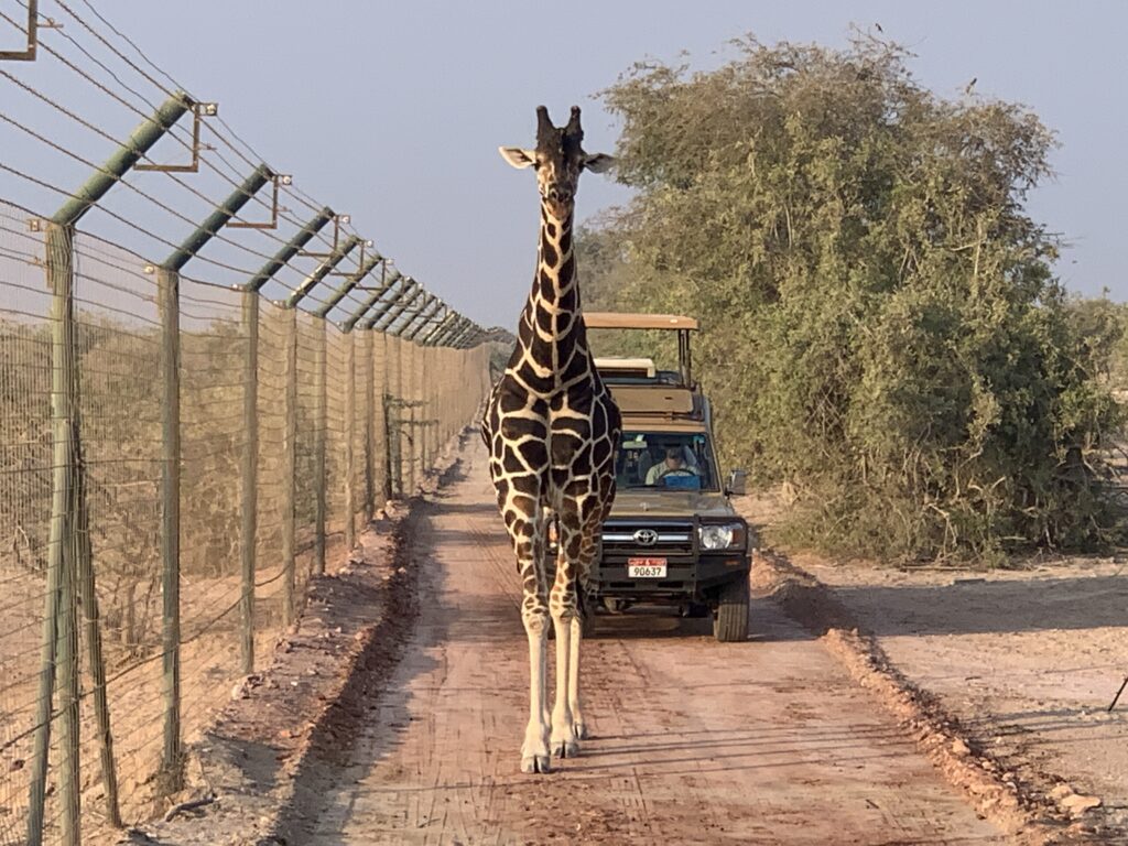
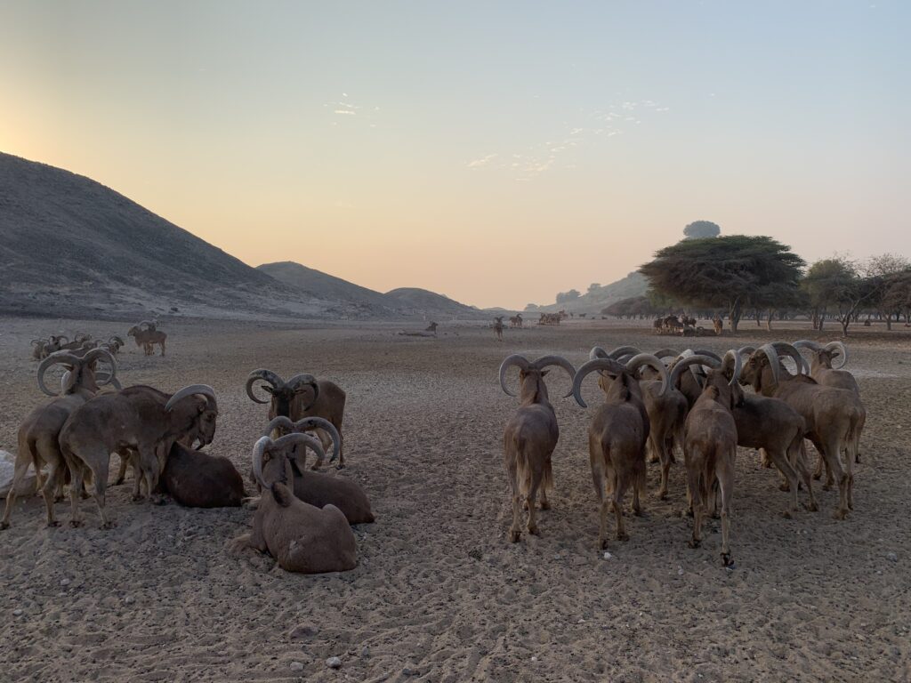
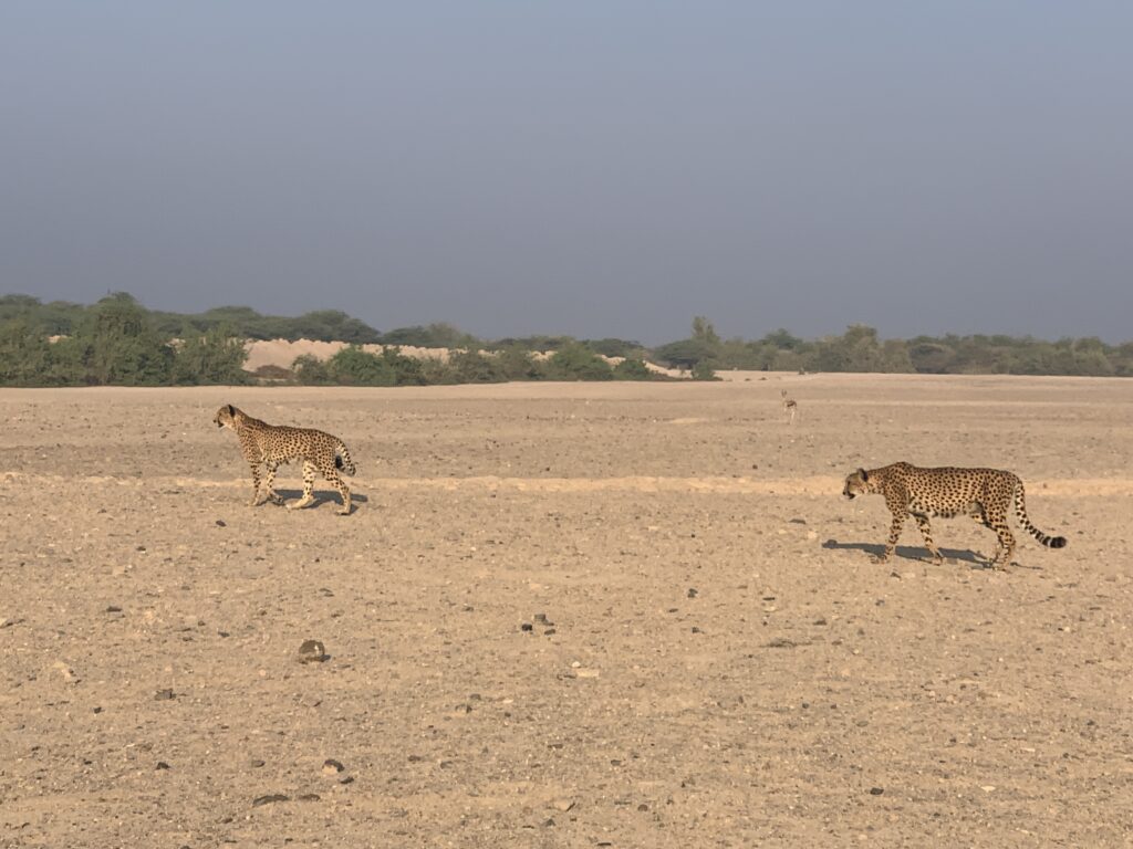
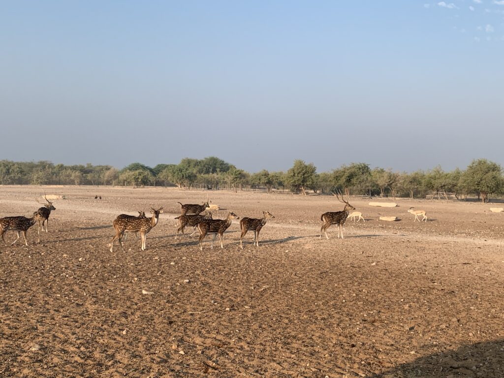
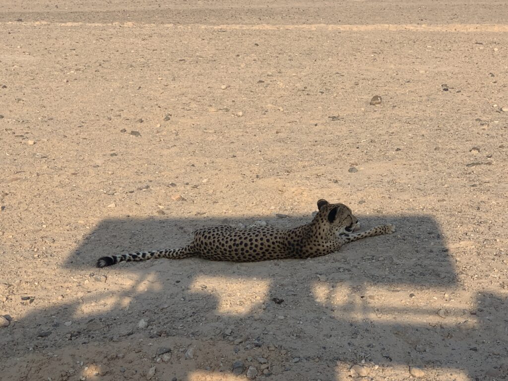
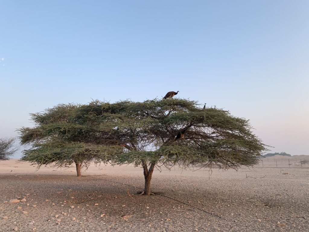
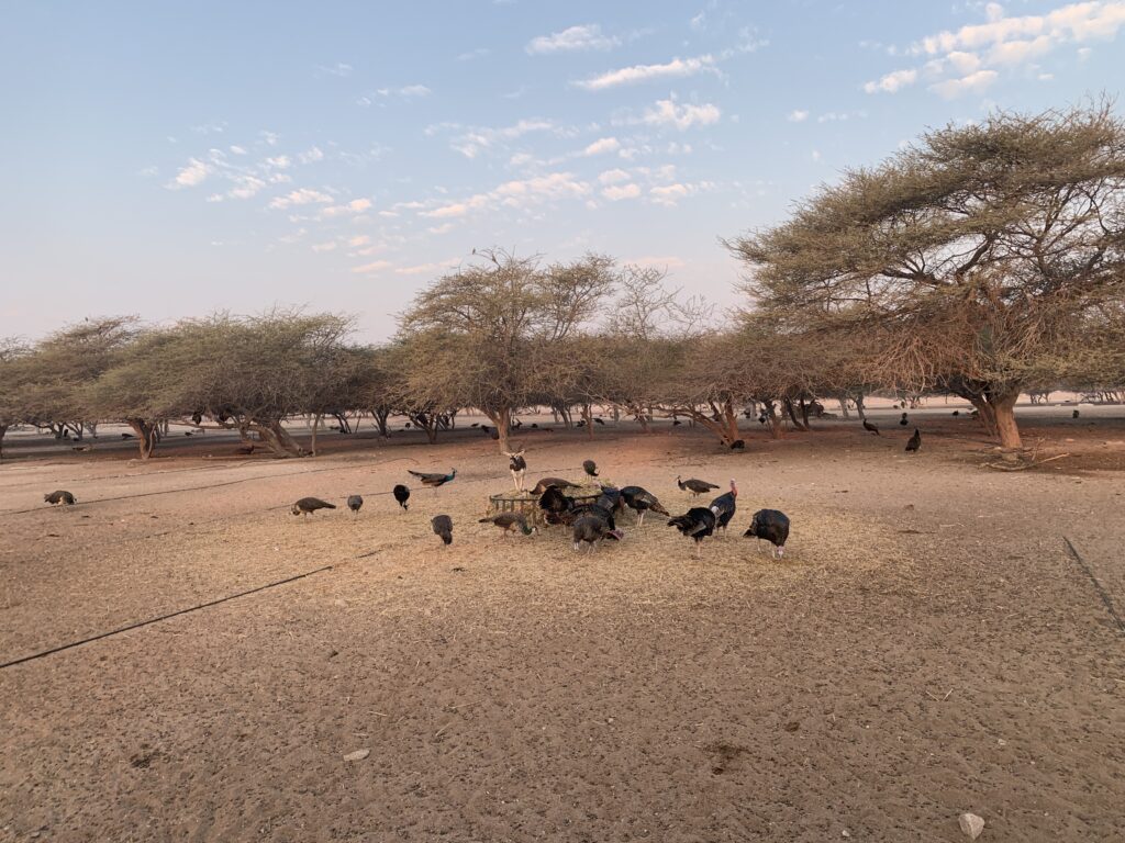
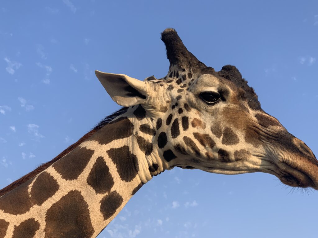
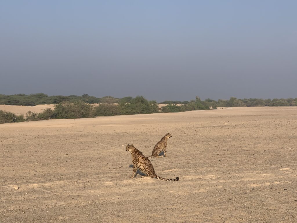
Sir Bani Yas
-
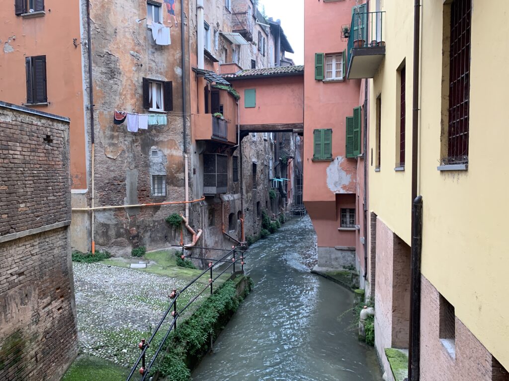
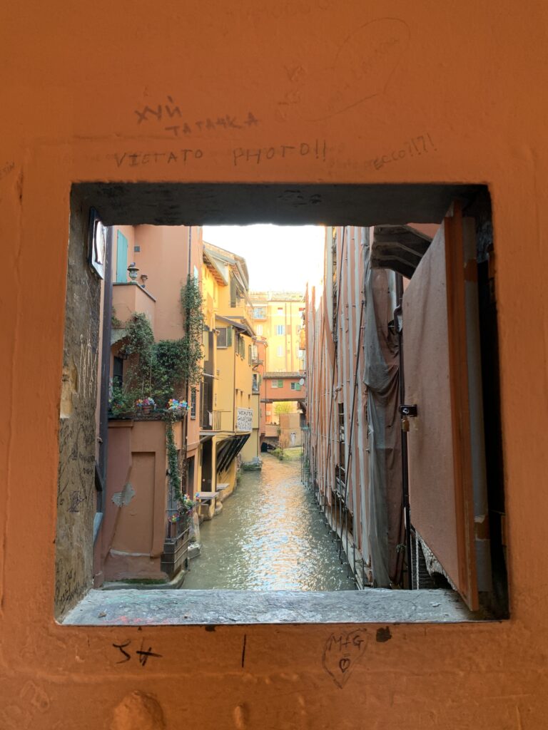
Bologna
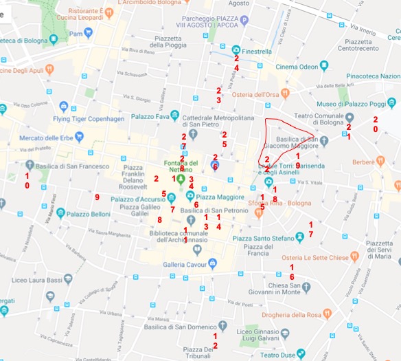
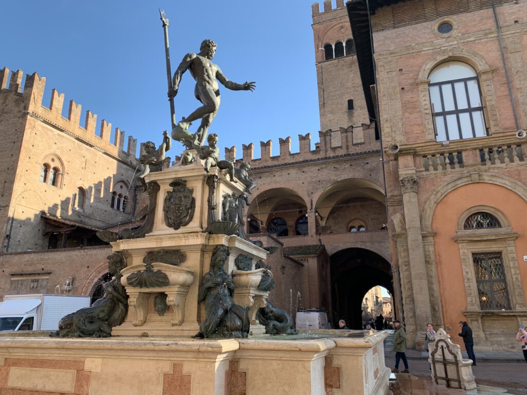
Piazza del Nettuno with Palazzo Re Enzo in the back 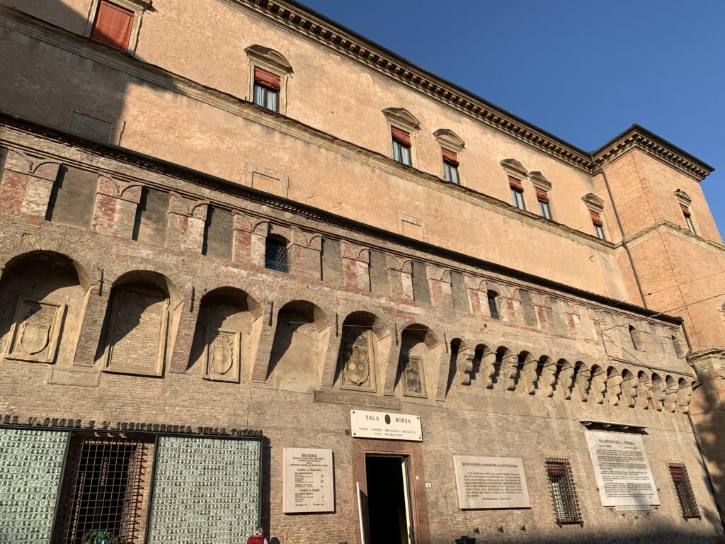
Sala Borsa 
The liberty-style inside Sala Borsa 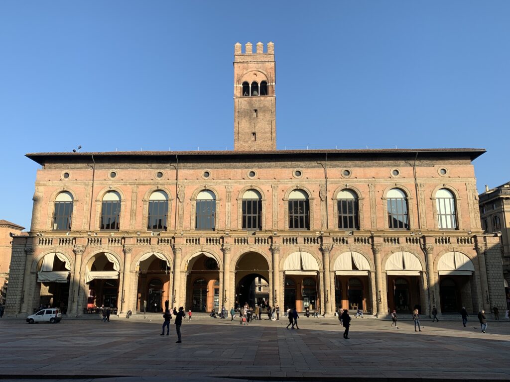
Palazzo del Podesta' 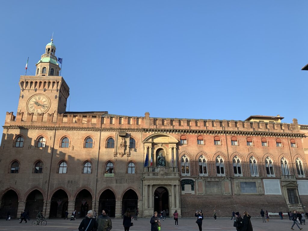
Palazzo d'Accursio 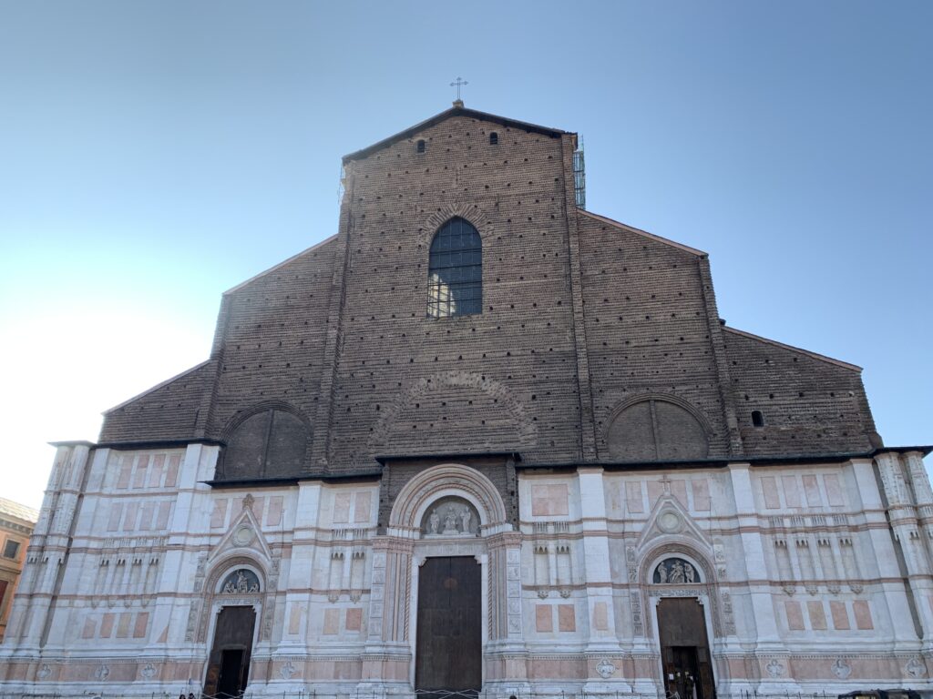
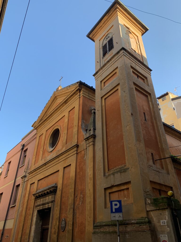
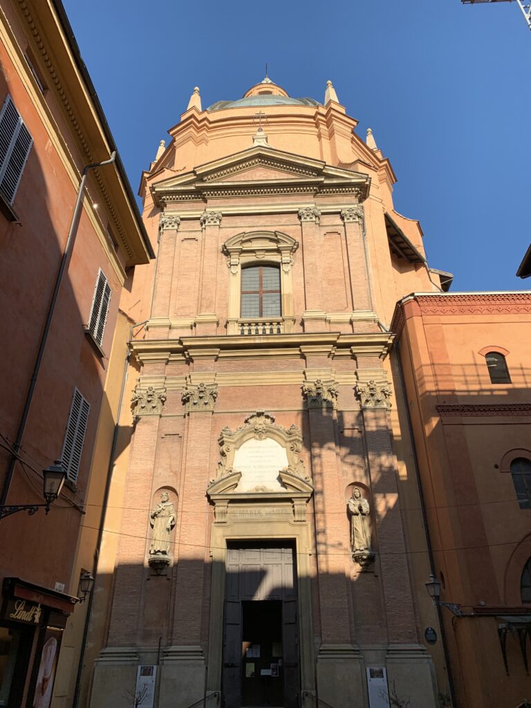
Santa Maria Labarum Coeli 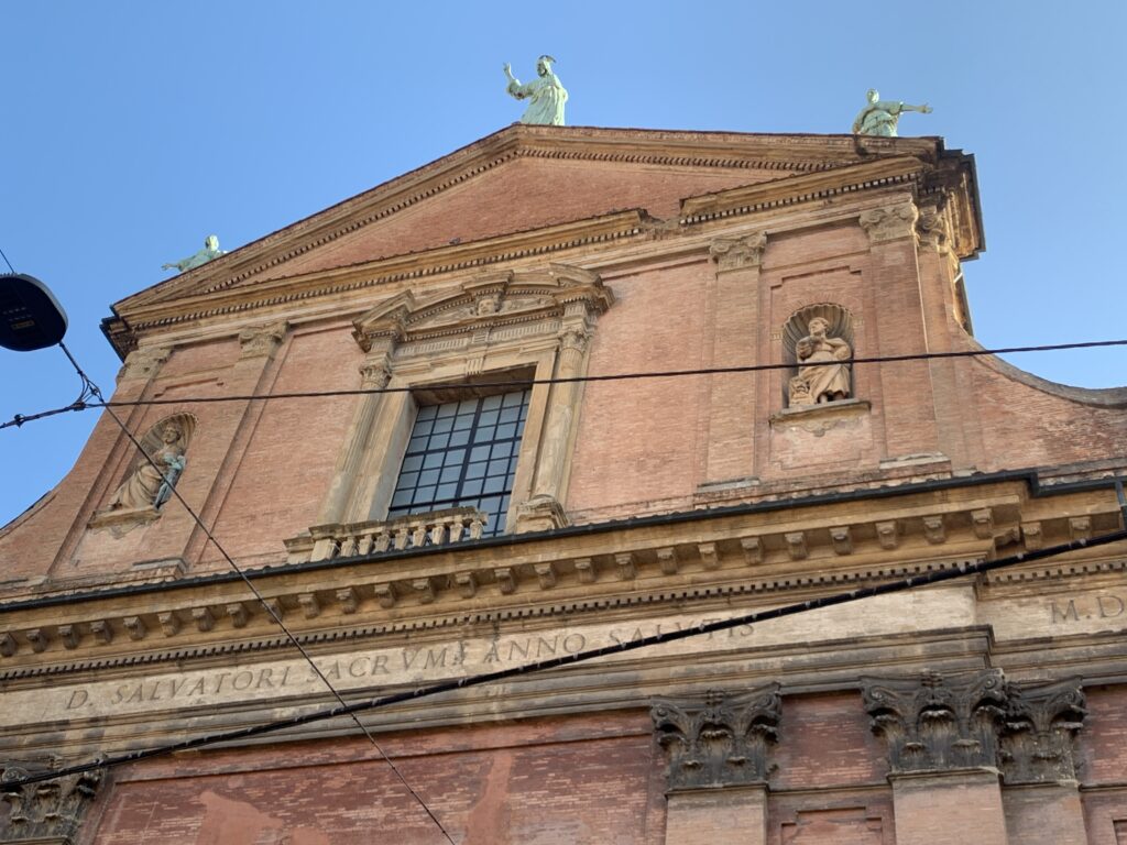
San Salvatore 
Glossatori Tomb 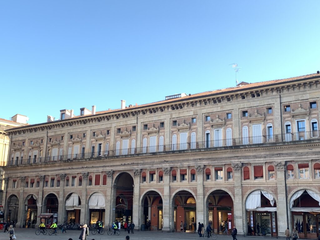
Palazzo dei Banchi and the Portico del Pavaglione 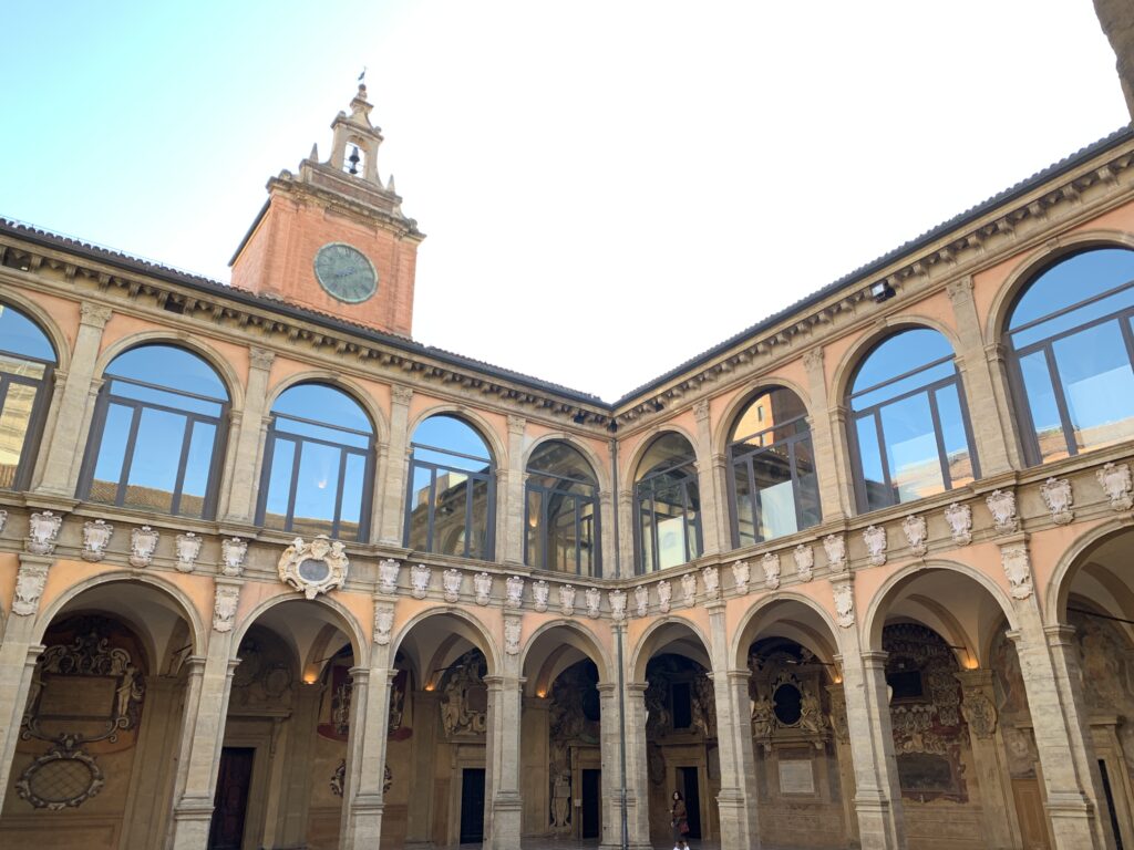
The inside of Archiginnasio 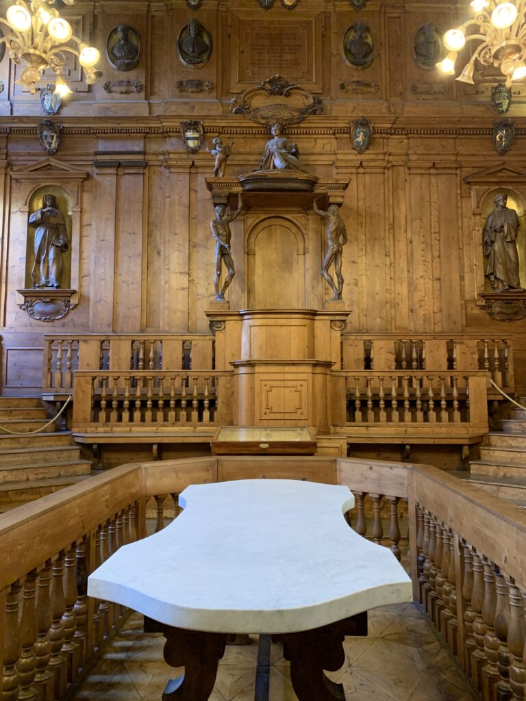
The anatomical theater 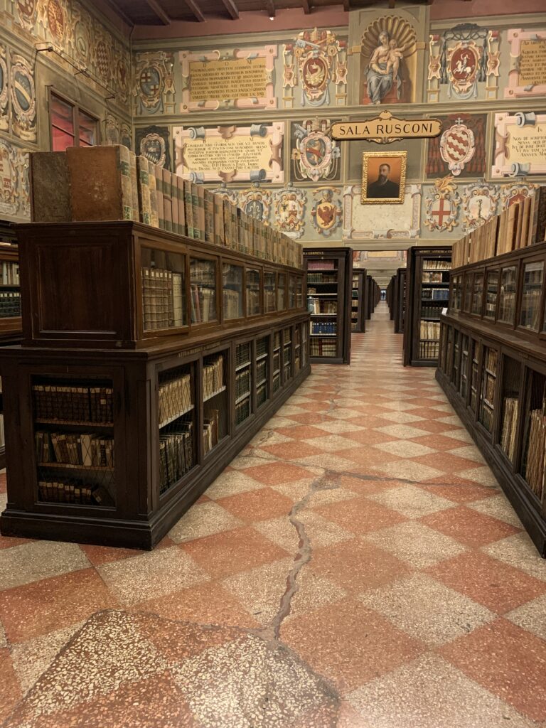
The Archiginnasio library 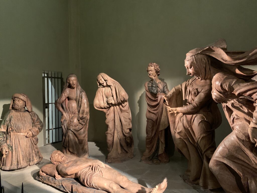
Santa Maria della Vita 
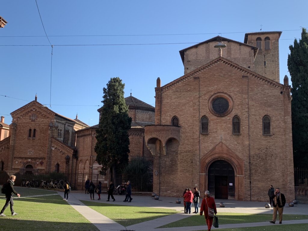
From right to left, Chiesa del Crocefisso, Chiesa del Sepolcro and Chiesa dei SS Vitale e Agricola. In the back, the Chiesa della Trinita' 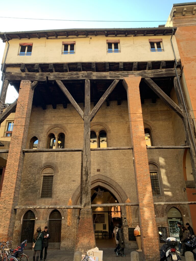
The portico of Corte Isolani, with the three arrowns 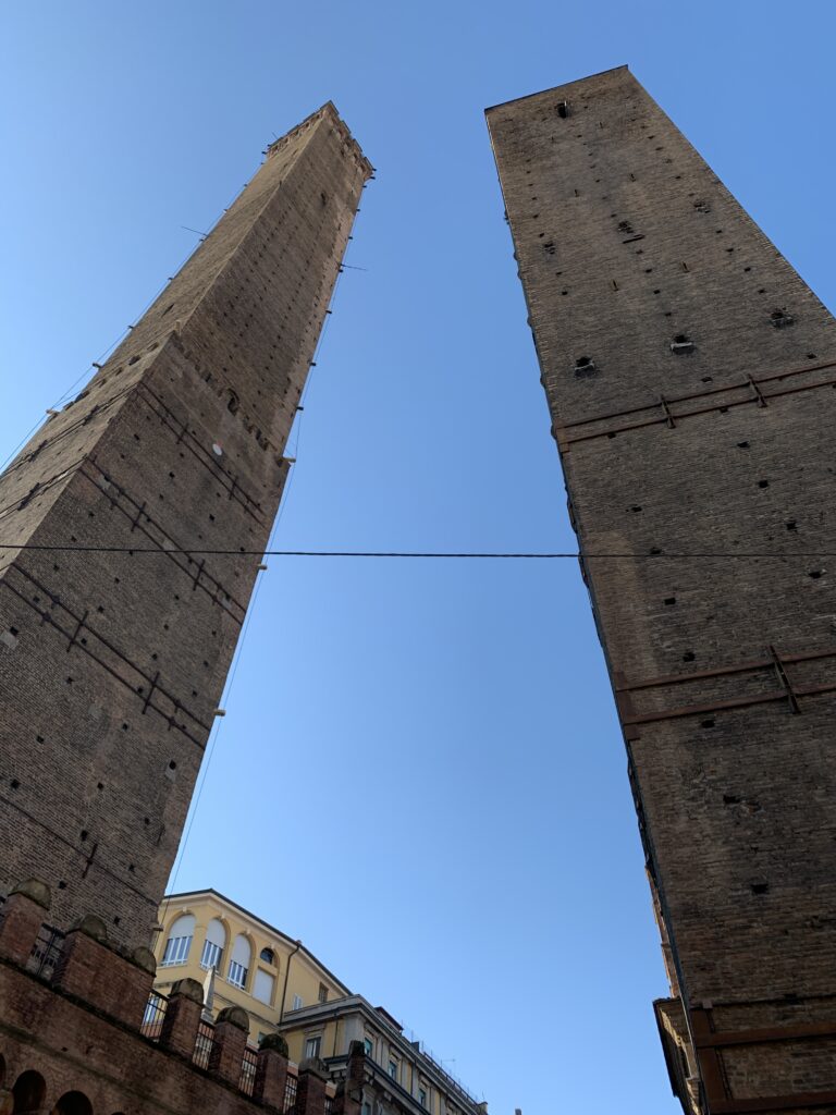
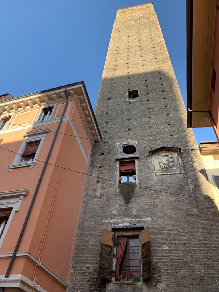
Torre degli Asinelli e Garisenda 

-
Italy
-
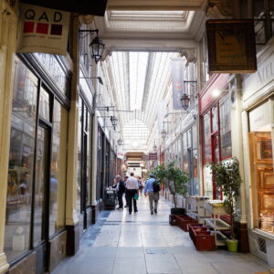
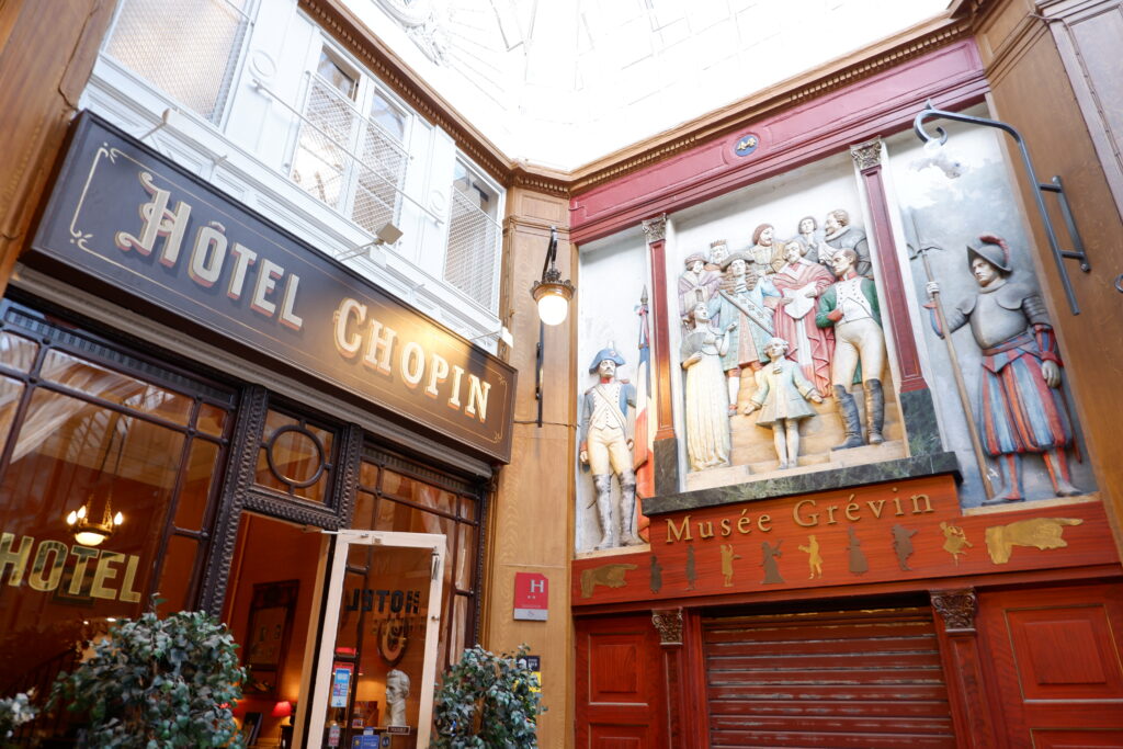
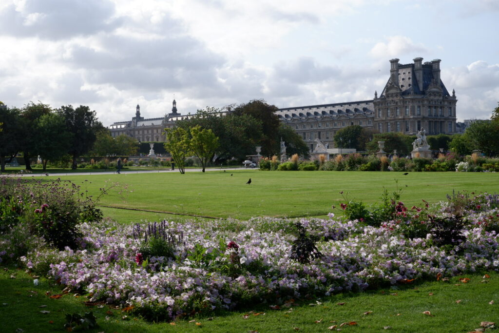
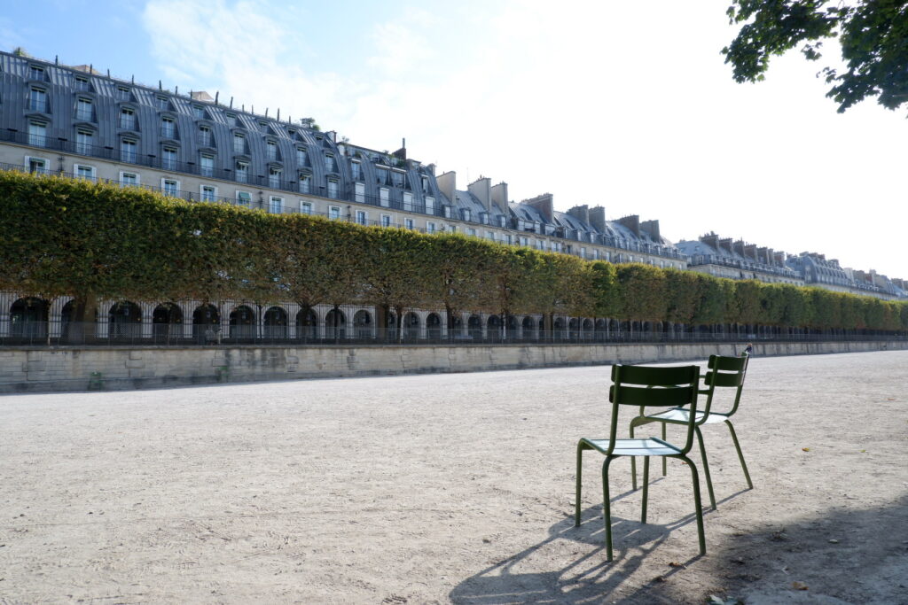
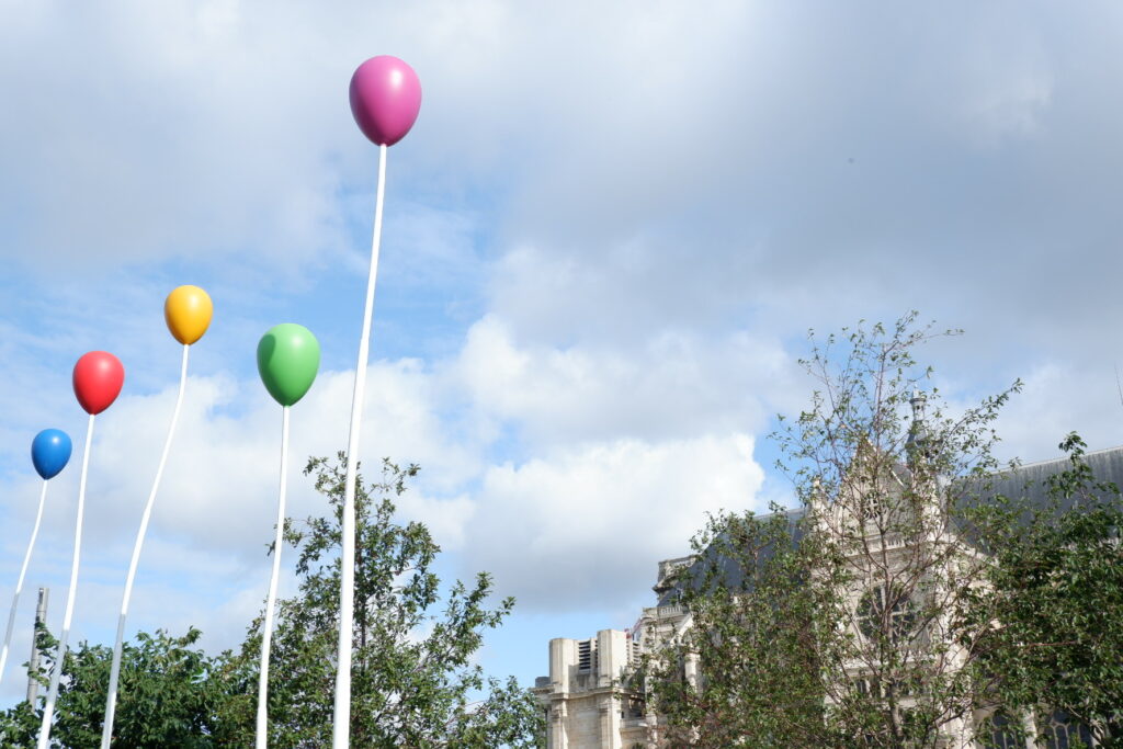
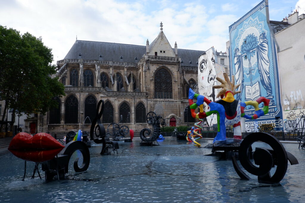
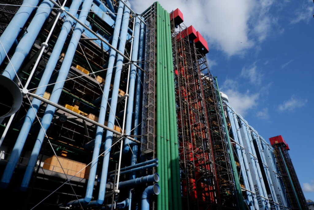
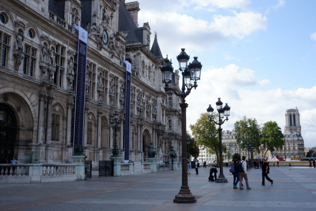
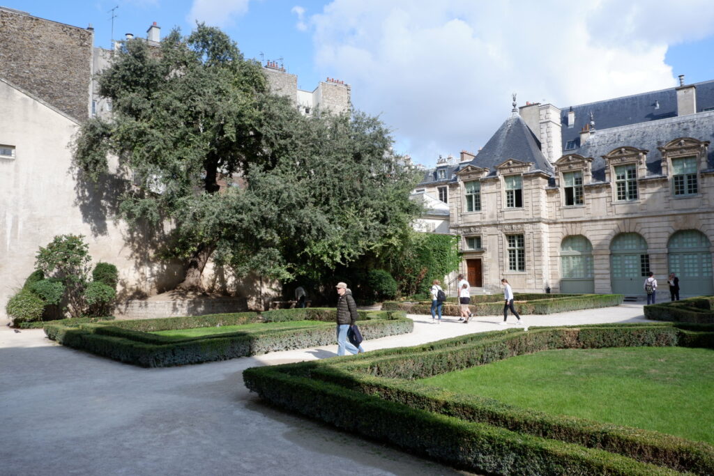
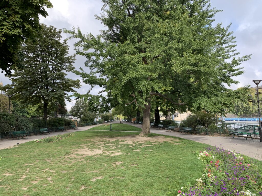
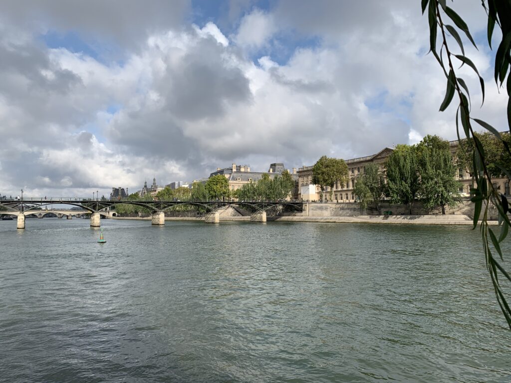
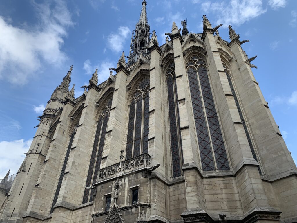
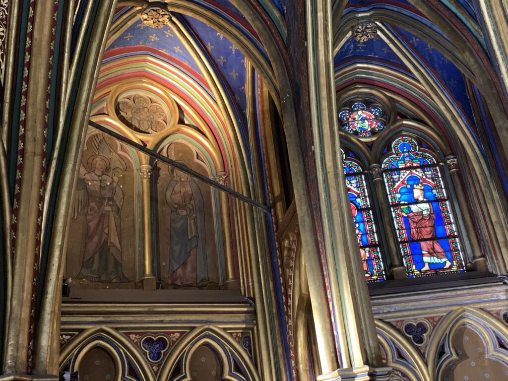
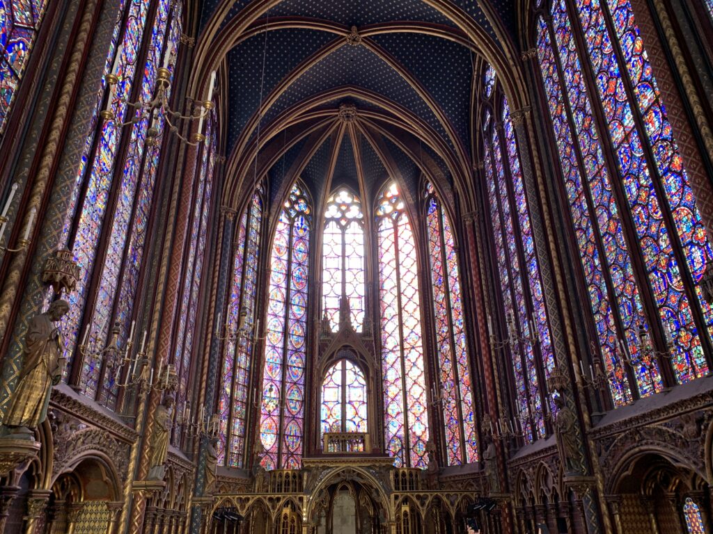
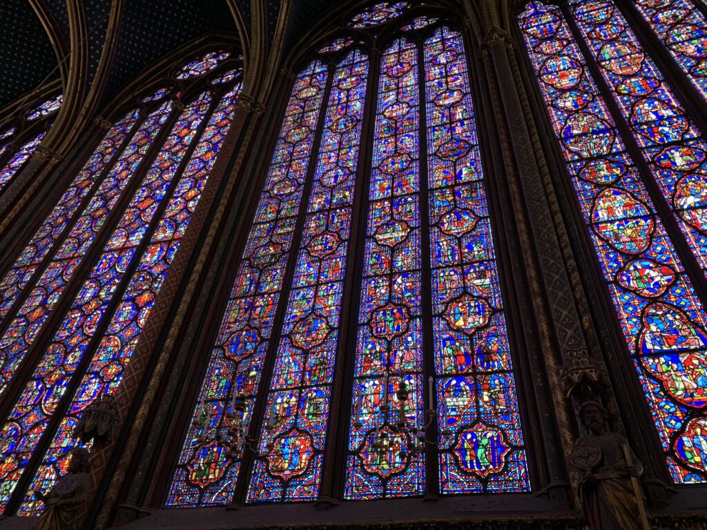
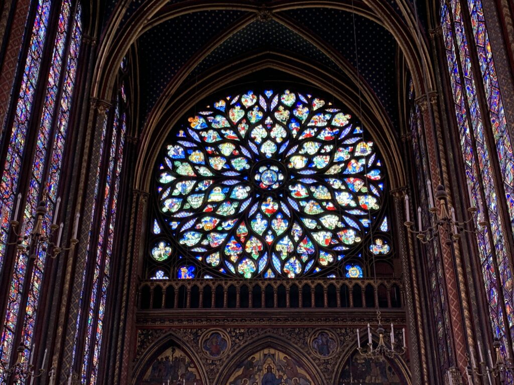
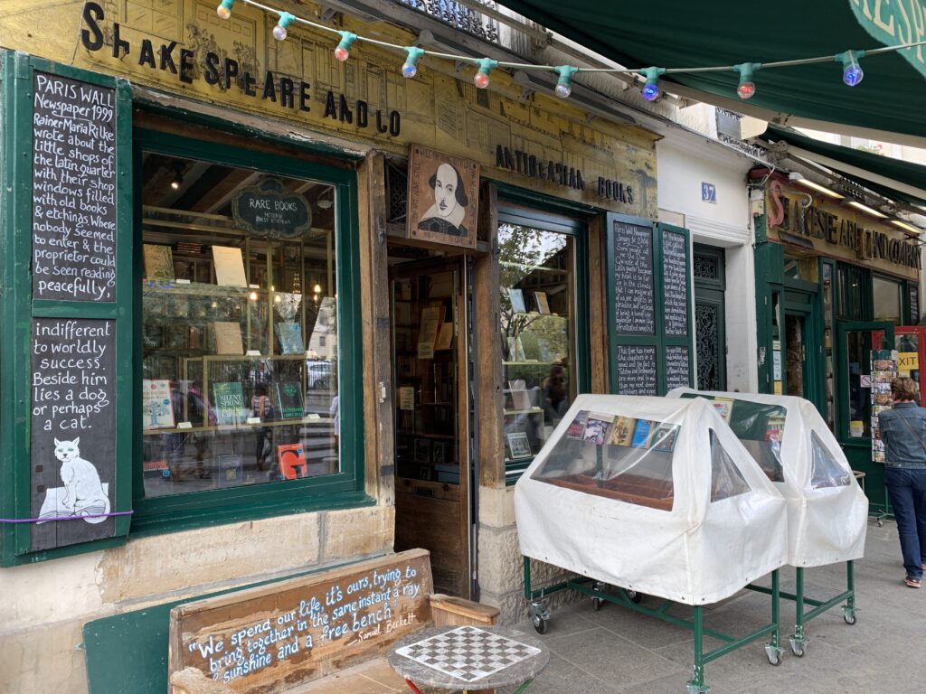
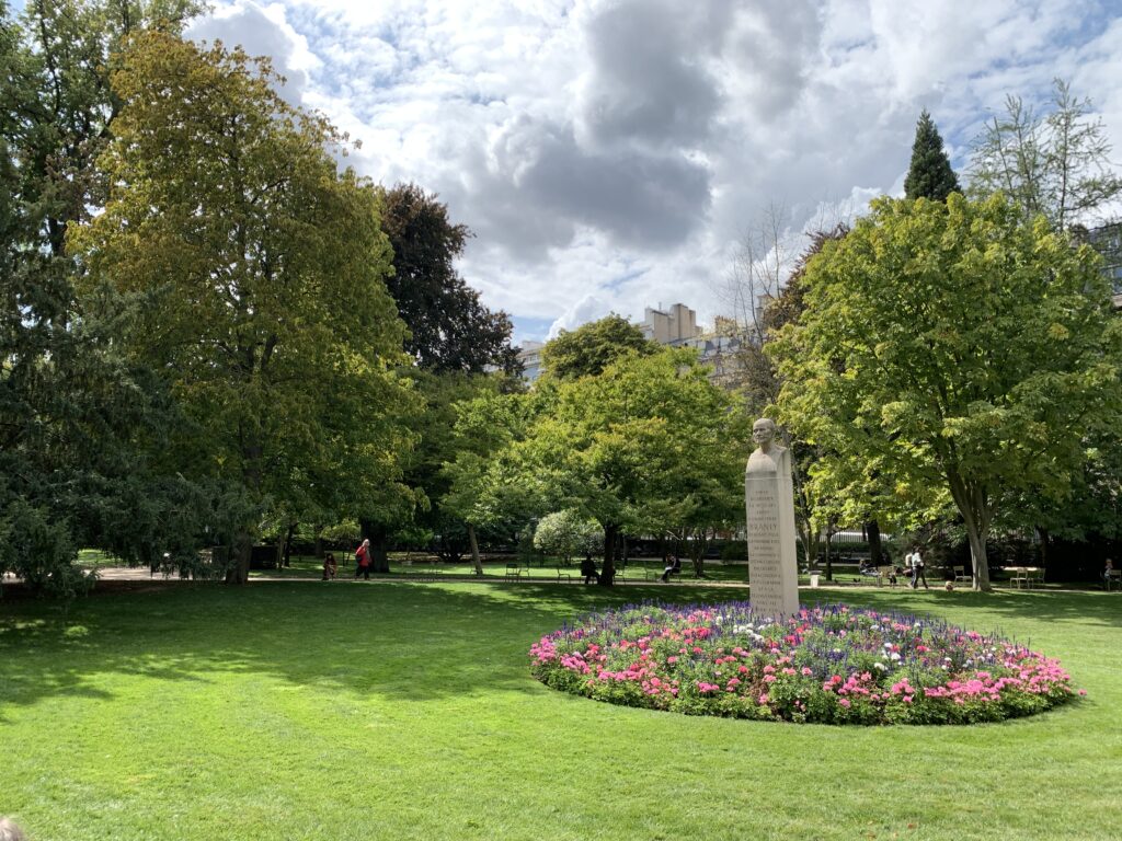
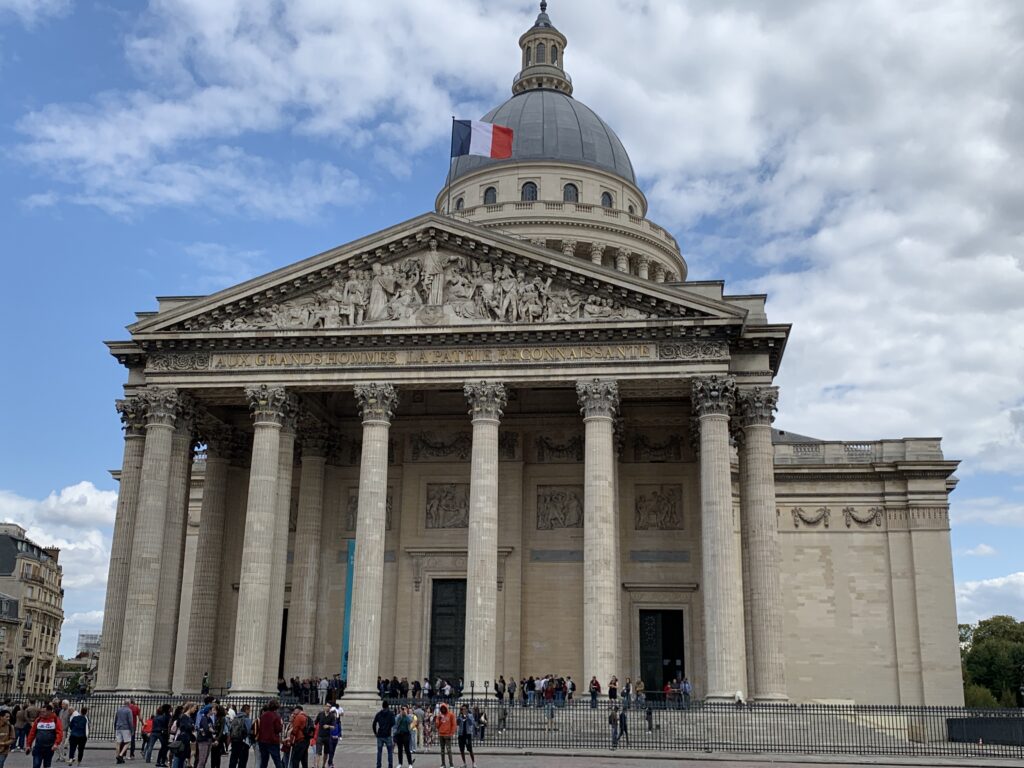
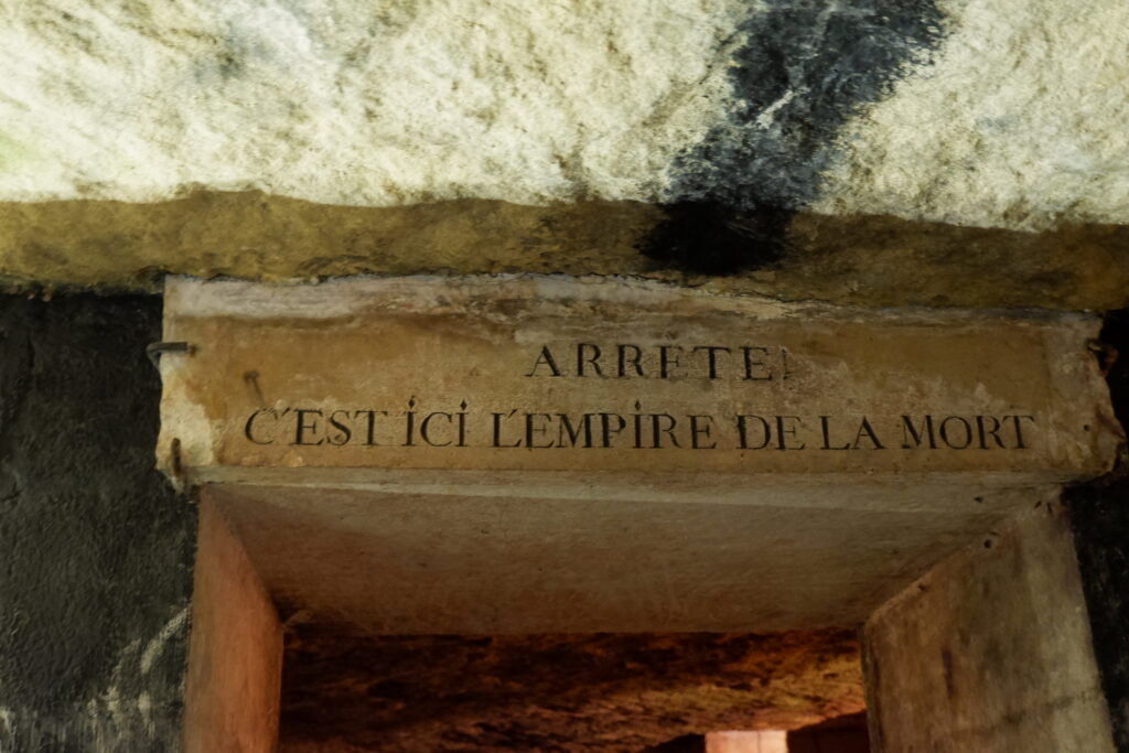
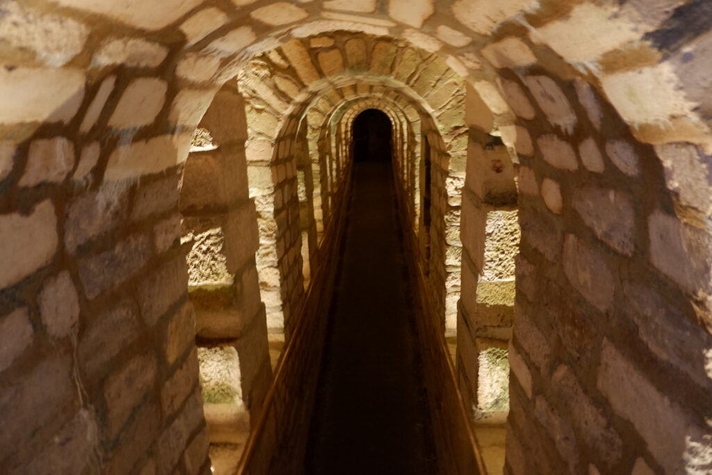
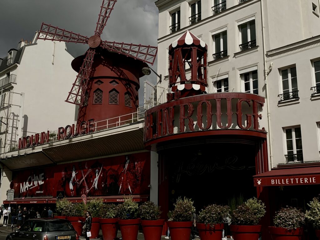
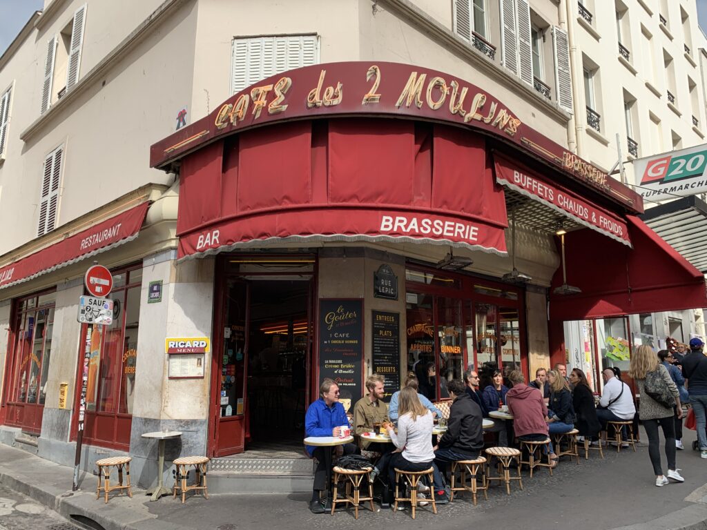
Paris – The Hidden Gems